2012.13.1.109
·
Subseries
·
1982
Part of J. Kent Sedgwick fonds
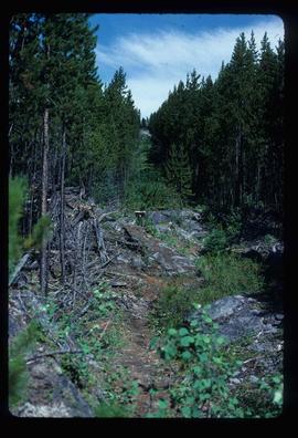
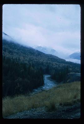
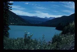
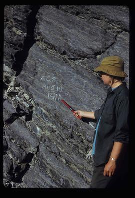
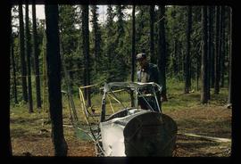
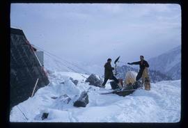
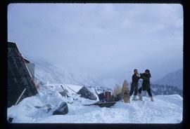
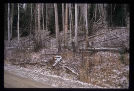
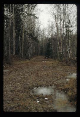
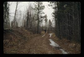
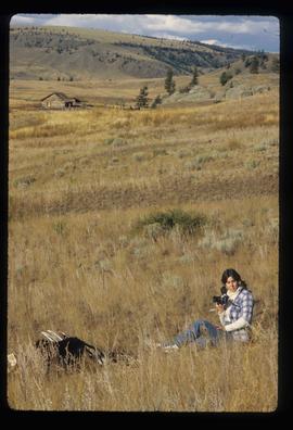
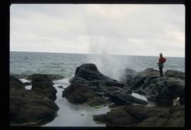
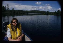
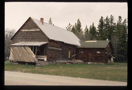
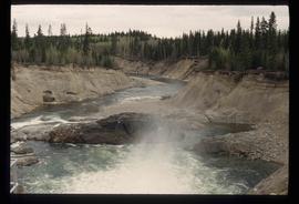
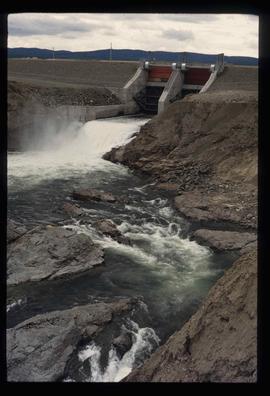
File contains slides depicting places in and around Yellowstone and the Snake Plain in the USA.