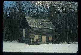
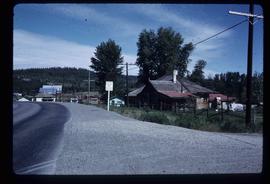
2012.13.1.89.018
·
Item
·
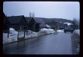
Feb. 1973
Part of J. Kent Sedgwick fonds
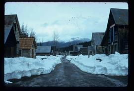
Image depicts a vehicle parked beside a small, wooden house in Upper Fraser, B.C. Map coordinates 54°07'05.7"N 121°56'38.9"W