The item is a photograph depicting the side of a beige house at 1589 7th Avenue, Prince George.
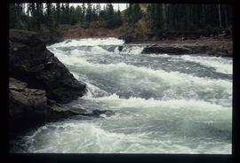
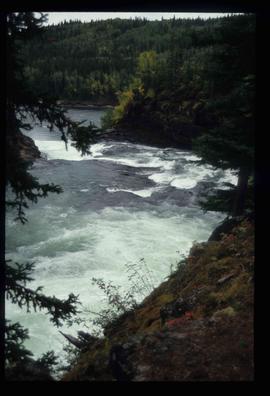
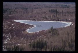
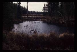
Image depicts the Cheslatta River.
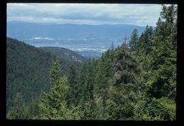
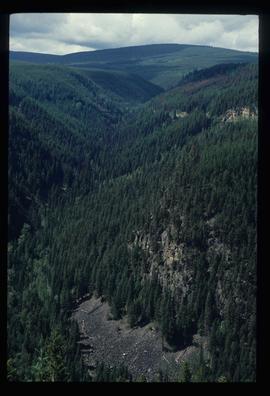
Image depicts a view of the Okanagan Kettle Valley.
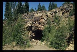
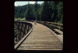
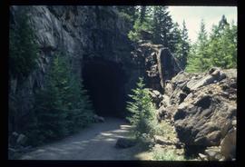
Image depicts a tunnel from the old Kettle Valley Rail Road.
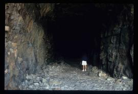
Image depicts a woman standing inside a tunnel from the old Kettle Valley Rail Road.
Image depicts several unknown individuals standing on the old Kettle Valley Rail Road.
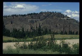
Image depicts a hill and some power lines in Kettle Valley, B.C.
File contains slides depicting images of Cheslatta from 1991
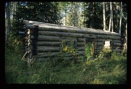
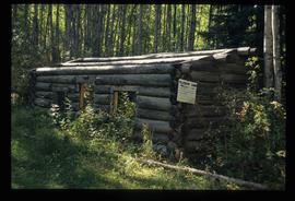
Image depicts an old telegraph cabin at Cheslatta, B.C.
Image depicts an old telegraph cabin at Cheslatta, B.C.
Image depicts the Kenney Dam near Cheslatta, B.C.
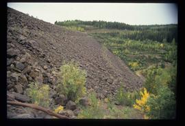
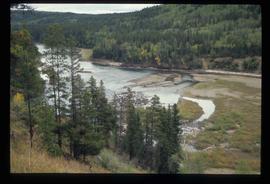
Image depicts the Cheslatta River.
Image depicts the Cheslatta River.
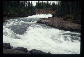
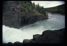
Image depicts the Cheslatta Falls.
Image depicts the Cheslatta Falls.
File contains slides depicting the Okanagan Brigade Trail.
Image depicts the Okanagan Kettle Valley, with the Kettle Rail Road faintly visible among the trees
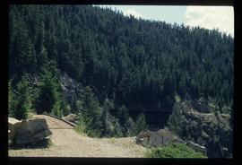
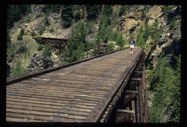
Image depicts the trail of the old Kettle Valley Rail Road.
Image depicts a woman standing inside a tunnel from the old Kettle Valley Rail Road.
Image depicts the mouth of a tunnel from the Kettle Valley Rail Road.
Image depicts a woman standing on the old Kettle Valley Rail Road.
The item is a map depicting the Salmon Portage area along the Salmon River. Various annotations are written in pen and sections of the map are coloured with pencil crayon. The Forest Cover Map identification number is 93J.027.
The photograph depicts an old Grand Trunk Pacific train station on Highway 16, West of Edmonton. The train station is white with a dark roof. Annotation on reverse side of photograph states, "on HWY #16, West of Edmonton 1991-04-16."
The item is a photograph depicting the front of a grey house at 1643 5th Avenue, Prince George.
The item is a photograph depicting the front view of a white house located at 886 Vancouver Street, Prince George.
The item is a photograph depicting a house on 12th Avenue before demolition to make room for the Parkwood commercial area. Annotation on back of picture states, "removed July / 91 2 blue spruce + 12th ave."
The item is a photograph depicting the front and side of a white house located at 1616 8 Avenue, Prince George. Annotation on back states, "Van Horlick to north of property / Alex 1616 8th - Trimble house."
The item is a photograph depicting the front of a beige house at 1589 7th Avenue, Prince George.
The item is a map depicting the Salmon Portage area along the Salmon River. Various annotations are written in pen and sections of the map are coloured with pencil crayon. The Forest Cover Map identification number is 93J.026.
File consists of photocopied articles relating to townsite planning and development in the plains and along the railway. The articles have handwritten annotations by Kent Sedgwick. File includes: "International perspectives on ralway townsite development in Western Canada 1877-1914" by John Gilpin; "Towns of the Western Railroads" by John C. Hudson; and a photocopied book "Plains Country Towns" by John C. Hudson.
The item is a photograph depicting the plaque containing information on the history and significance of the Grand Trunk Pacific bridge.
File consists of notes and typescript documents relating to a heritage house owned by Dr. Carl Ewart and Hubert King. Includes: "Rosel's Restaurant" typescript document (1992) and "The Hub King Residence" typescript document (1992). Also includes photographs depicting a painting of 1624 Seventh Avenue in Prince George (Aug. 1992).
The item is a photograph depicting a painting of a brown house at 1624 7th Avenue, Prince George.
Image depicts Haldi Lake near Prince George, B.C.
Image depicts Eskers Park, near Prince George, B.C.
File consists of a typescript essay titled "The Role and Position of the Forest Products Industries in the Prince George Space Economy" by Jason Llewellyn.
File contains slides depicting places in Saskatchewan.
File consists of notes and typed documents relating to the British Columbia Ecomuseum Symposium.
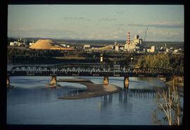
Image depicts two mills; the Intercontinental Pulp Mill is on the right in the foreground, and the Prince George Pulp and Paper Mill is on the left in the background. The picture is taken from the South, possibly off Yellowhead Bridge in Prince George, B.C.
File consists of a spiral bound booklet titled "Alexander Mackenzie Heritage Trail Draft Management Plan" prepared by the Province of British Columbia.
File consists of a spiral bound booklet titled "Alexander Mackenzie Heritage Trail Management Plan" prepared by the Province of British Columbia.
The item is a photograph depicting a plaque titled, "Alexander Mackenzie's Route 1793 'From Canada by Land.'" The map shows Mackenzie's route from Alberta to the Pacific Ocean through British Columbia. Annotation on the reverse side of the photograph states, "installed 1993 Mackenzie bicent."
The item is a map that depicts lot plans for the Central Fort George townsite. Reproduction of map originally produced in 1938.
The item is a photograph depicting people dancing at the bicentennial celebration at Fort George Park, now known as Lheidli T'enneh Memorial Park.
File consists of notes, clippings, and reproductions relating to the new Alexander Mackenzie monument in Fort George Park (renamed Lheidli T'enneh Memorial Park). Includes: "British Columbia Heritage Brigade Journey" pamphlet from Parks Canada and Canoe Sport B.C. (1985); "Alexander Mackenzie Trail Association" newsletter No. 9 (1987); "Alexander Mackenzie Voyageur Association" newsletter No. 36 (1994); and correspondence letters between John D. Adams, Supervisor of Interpretation and Heritage Site operations for the Province of British Columbia and Kent Sedgwick (Apr.- May 1986). Also includes photographs depicting the new Alexander Mackenzie monument and people at the unveiling (1985).
File consists of a book titled "The Canada Sea-to-Sea Expeditions, 1989-1993 - Final Report" by Jim Smithers and the expedition group.
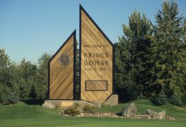
Image depicts the Prince George welcome and population sign, with a population of 71,086. Map coordinates 53°53'52.0"N 122°46'08.7"W
File consists of clippings, notes and reproductions relating to neighbourhoods within Prince George. Includes the following clipped articles from the Prince George Citizen newspaper: "Booming '60s and '70s filled our bowl" (Aug. 1986); "Neighbours..." (May 1993); "Street names" (1983); and "SFG streets named after early settlers" (June 1984). Also includes a lithograph print of "Spruceland subdivision" at Stuart Drive.
The item is a photograph depicting a plaque on the reverse side of the Alexander Mackenzie monument titled, "Alexander Mackenzie's Route 1793 'From Canada by Land.'" The map shows Mackenzie's route from Alberta to the Pacific Ocean through British Columbia. Annotation on the slide states "PG monument."
File contains slides depicting scenery at various locations.
