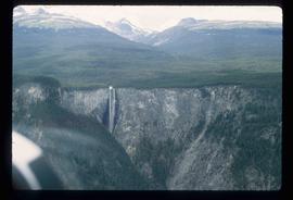
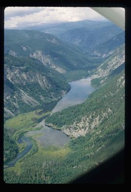
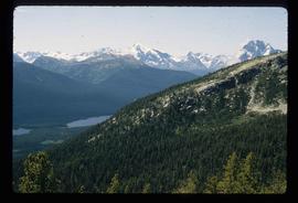
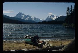
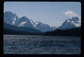
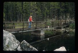
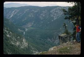
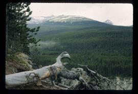
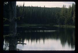
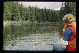
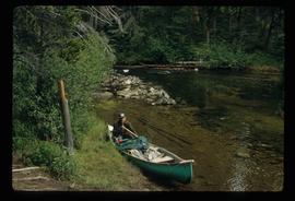
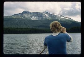
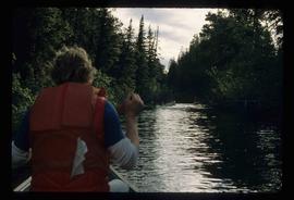
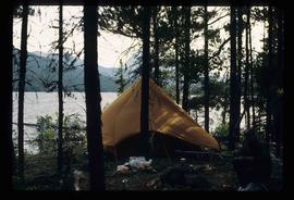
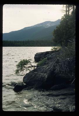
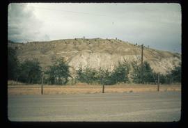
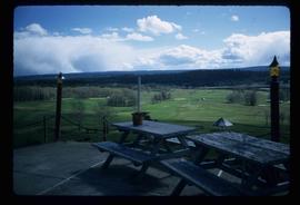
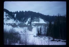
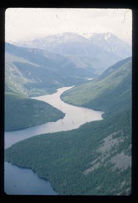
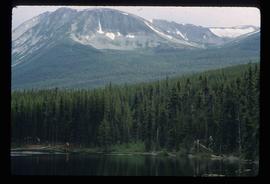
Image depicts an aerial view of a lake in South Tweedsmuir Provincial Park. It is possibly Lonesome Lake.
Image depicts an aerial view of a waterfall in South Tweedsmuir Provincial Park.
Image depicts an aerial view of a lake in South Tweedsmuir Provincial Park.
Image depicts an aerial view of South Tweedsmuir Provincial Park.
Image depicts an aerial view of Glacier Mountain in South Tweedsmuir Provincial Park.
Image depicts a lake in South Tweedsmuir Provincial Park. There is a canoe present on the shore.
Image depicts a lake in South Tweedsmuir Provincial Park.
Image depicts an unidentified man standing on a wood bridge somewhere in South Tweedsmuir Provincial Park.
Image depicts a view of South Tweedsmuir Provincial Park. An unidentified man stands on the side of the image.
Image depicts a view of South Tweedsmuir Provincial Park.
Image depicts a lake in South Tweedsmuir Provincial Park.
Image depicts a lake in South Tweedsmuir Provincial Park. There is an unknown individual present in a canoe with the camera-man.
Image depicts a man in a canoe on a river somewhere in South Tweedsmuir Provincial Park. The man is possibly Kent Sedgwick.
Image depicts a lake in South Tweedsmuir Provincial Park. There is an unknown individual present in a canoe with the camera-man.
Image depicts a river in South Tweedsmuir Provincial Park. There is an unknown individual present in a canoe with the camera-man.
Image depicts a camp on the shore of a lake in South Tweedsmuir Provincial Park. The man sitting in the bottom right corner is possibly Kent Sedgwick.
Image depicts a lake in South Tweedsmuir Provincial Park.
Image depicts Kent Sedgwick (the man with a pipe in green) and an unknown individual sitting around a campfire somewhere in South Tweedsmuir Provincial Park.
Image depicts a lake in South Tweedsmuir Provincial Park. An unknown individual is walking along the shore.
Image depicts an unidentified man lighting a fire somewhere in South Tweedsmuir Provincial Park.
Image depicts a lake and mountain somewhere in South Tweedsmuir Provincial Park.
Image depicts Kent Sedgwick standing beside a wrecked plane somewhere in South Tweedsmuir Provincial Park.
Image depicts an unknown individual in the J. Edwards Camp in South Tweedsmuir Provincial Park.
Image depicts an unknown individual eating in a camp somewhere in South Tweedsmuir Provincial Park.
Image depicts the Fraser River from Highway 97 near Quesnel, B.C.
Image possibly depicts the Fraser River from Highway 97 near Quesnel, B.C.
Image depicts some farmland near Alexandria, B.C.
Image depicts a stretch of land from Highway 97 near Williams Lake, B.C.
Image depicts a stretch of land from Highway 97 near 100 Mile House, B.C.
Image depicts a section of land from Highway 97 near Cache Creek, B.C.
Image depicts a rail road construct from Highway 97 at Mile 126; the slide is also labelled "McAlister."
Image depicts a stretch of land from Highway 97 at Mile 231, possibly near Clinton, B.C.
Image depicts some cacti somewhere near Soda Creek, B.C.
Image depicts the property of an old ranch at Mile 108 of Highway 97.
Image depicts the Watson Mansion at Mile 108 of Highway 97. It was built by Captain Geoffrey Watson in 1904, and was burned down by a chimney fire in 1983.
Image depicts a view of the scenery near Clinton, B.C.
Image depicts a view of the scenery near Hixon, B.C.
Image depicts a view of the Dunkley Lumber Mill in Strathnaver, B.C.
Image depicts the BCR, as well as the Dunkley Lumber Mill, in Strathnaver, B.C.
Image depicts what is likely the Dunkley Lumber Mill in Strathnaver, B.C.
Image depicts a view of the scenery near Clinton, B.C.
Image depicts the BCR tracks passing through a mill somewhere near the 100 Mile.
Image depicts an aerial view of a stretch of power lines somewhere near Williams Lake, B.C.
Image depicts an aerial view of some scenery near Williams Lake, B.C. The highway and BCR tracks are visible among the trees.
Image depicts an aerial view of the Fraser River near Soda Creek, B.C.