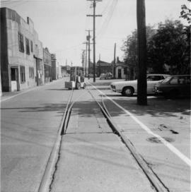
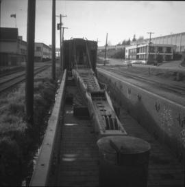
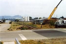
Photograph taken on Cartwright Street, looking eastward. Track to the right is unusable because the switch towards the right is blocked over.
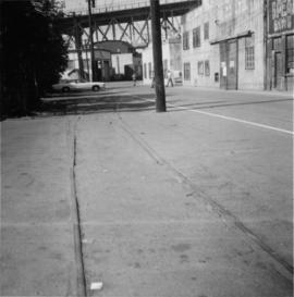
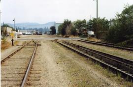
Photograph taken looking westward, down Cartwright Street. Trackage seen was not usable. Switch was blacktopped into position. The far end of the spur was used to lead to Columbia Bitolithic Ltd. Unseen track on the right side of the road was still in use.
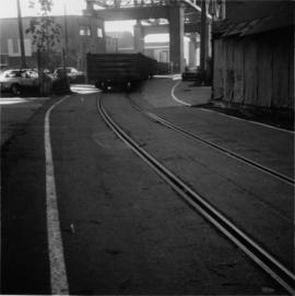
Photograph taken looking southeast at the trackage underneath Granville Bridge.
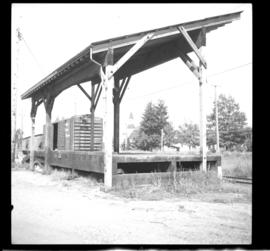
Photograph depicts the passing loop and goods shed found at the Milner Siding. The main line had just been uprgaded to take coal units trains to Roberts Bank.
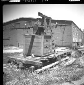
Photograph depicts former BC Electric car barns in New Westminster. In the foreground remained an old flat and possibly a hoist for battery plates.
Photograph depicts a steam crane with a jib in a gondola car. It is en route to an iron works in Burnaby.
Photograph depicts a fitter examing the condition and safety of an old steam crane en route to an iron works in Burnaby, possibly Coast Steel Fabricator Ltd.
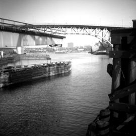
Photograph depicts a BCER rail bridge at the entrance to False Creek, Vancouver.
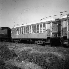
Photograph depicts old BC Electric Railway interurbans purchased for restoration by the government of BC from an Oregon owner. They stood in the CPR Duke Street Yards in Vancouver.
Photograph depicts Beaver Trucking located on Kamloops Indian Reserve No. 1 on Tk'emlups te Secwepemc territory, Kamloops, BC. It had been a company since 1990 and received 2 or 3 boxcars weekly loaded with items from Toronto that were then delivered around town. Davies later noted that the business was destroyed by arson in 1997.
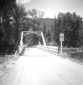
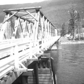
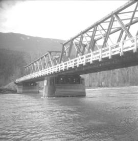
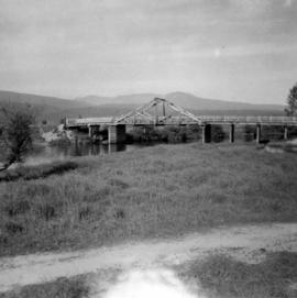
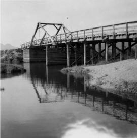
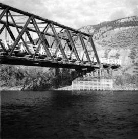
Photograph depicts the Beaverdell Bridge, located between Rock Creek and Kelowna, BC
Photograph depicts the CPR Beaverdell depot located at about 35 miles northeast of Osoyoos and at mile 91.4 east of Penticton on the Carmi Subdivision. The traffic here is ore from a local mine, some lumber, and freight for the village. The depot building is in use and has a telegraph. There is also siding capacity for 31 cars. This section was built between 1914 and 1915. The view is looking north.
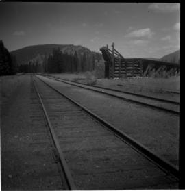
Photograph depicts the CPR depot at Beaverdell, located at about mile 42.3 on the Carmi Subdivision. To the right is an ore loader for concentrate from mines. There is no rail traffic at this date. The view is looking north.
Photograph depicts the downtown area in which prior to 1998, the CNR had a loop. It ran west beside Clement and after crossing over Ellis, turned north for a couple of blocks, then turned east, back over Ellis, and along Recreation Street and Weddell.
Photograph depicts the downtown area in which prior to 1998, the CNR had a loop. It ran west beside Clement and after crossing over Ellis, turned north for a couple of blocks, then turned east, back over Ellis, and along Recreation Street and Weddell.
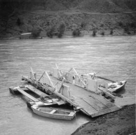
Photograph depicts the Big Bar Creek ferry crossing over the Fraser River.
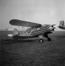
Photograph depicts the only biplane and canavas covered, light aircraft amongst a group of 25 machines in excellent condition.
Photograph depicts Birch Island Bridge over the North Thompson River.
Photograph depicts Birch Island Bridge over the North Thompson River.
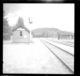
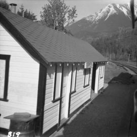
Photograph depicts Birken Station on the Pacific Great Eastern. It is 113.6 miles from North Vancouver and at an altitude for 1575 ft. The view is looking north.
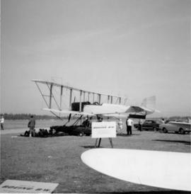
Photograph depicts a replica of the a Boeing, the first ever plane built by Boeings in 1916 in Seattle and was called the "B and W Seaplane."
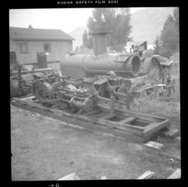
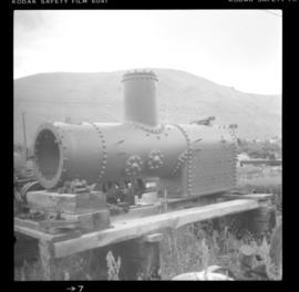
Photograph depicts a compressed air operated locomotive frame and H.K. Porter boiler, built in 1912. It was believed that the locomotive frame came from the Canmore coal mines.
Photograph depicts a narrow gauge contractor's locomotive boiler owned by Mr. Shane Sherman of Lake Shore Road, Savona. It was built by H.K. Porter as boiler #1451 B on August 18, 1912.
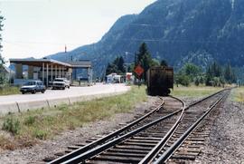
Photograph depicts the border crossing point, 12 miles east of Grand Forks. Taken on the Canadian side. Visible grain car lettered "BN." This branch line fromed a bi "U" with the bottom of it running for 15 miles in Canada, in the Grand Forks area. The line began east of Kettle Falls (hence Spokane) and concluded in the west at Republic.
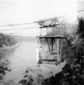
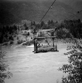
Photograph depicts a free aerial car ferry crossing over the Fraser River. It took 1 car at a time and was in perpetual use at the time Davies crossed.
Photograph depicts the North Bend Ferry (Aerial Cage) at Boston Bar in the Fraser Canyon. The capacity of the aerial cage is 1 car or truck, or 40 passengers. Vehicle height clearance: 12 feet. Load-limit: 3 tons gross. Schedule: On call 24 hours. Rates: Car with driver, 25 cents; truck with driver, 50 cents; passenger, 5 cents.
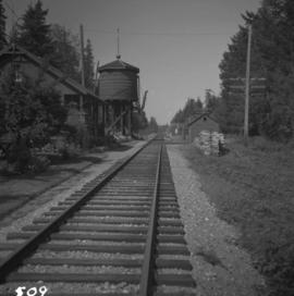
Photograph depicts the Bowser water tower on the Esquimalt and Nanaimo Railway, 25 miles south of Courtenay. The view is looking north.
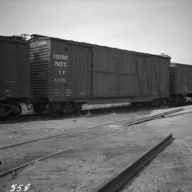
Photograph depicts a boxcar at the C.P.R. Coquitlam yards. Note the frame construction.
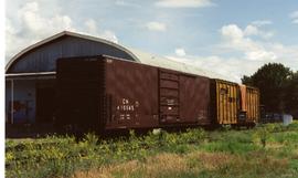
Photograph depicts an old box car that had a vintage CNR logo. Found at the CN Kamloops Junction.
Postcard depicts a brace of CPR GP9's with westbound freight crossing Stoney Creek Bridge. First car behind the locomotives was a stock car. CPR gave up all movement of livestock in 1974, so this photograph was taken before that year.
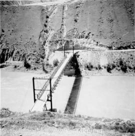
Photo depiicts a bridge over the Fraser River, south of Williams Lake. It was in poor condition, but was being prepared by the Department of Highways. The bridge was taken on the Gang Ranch public road, and led to the ranch and its uninhabited hinterland.
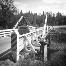
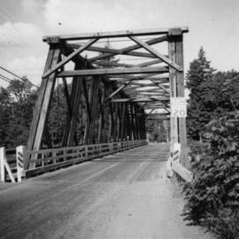
Photograph taken on Highway 16, between Vanderhoof and Burns Lake. This road and bridge was to be passed by a new section of the highway. To the date the photograph was taken, all traffic between Prince George and Prince Rupert had used the bridge.
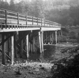
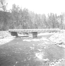
Photograph depicts bridge crossing over the Campbell River, 1 mile west of downtown Campbell River.
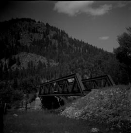
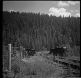
Photograph depicts bridge #269 crossing the West Kettle River. This is located approximately 2 miles north of the Rhone crossing and at about mile 27 on the CPR line in the Carmi Subdivision. The view is looking north and upgrade.
Photograph depicts bridge #504 crossing Wilkinson Creek at the top end of the Sawyer loop. This is at about mile 50.75 on the CPR line in the Carmi Subdivision. The elevation here is 2973 ft. and the line is climbing at an even ascent. The view is looking northeast.
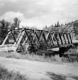
Photograph depicts a bridge in Chase, BC
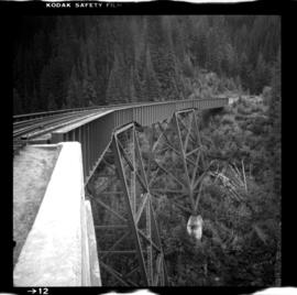
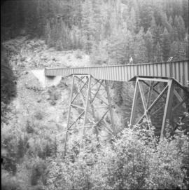
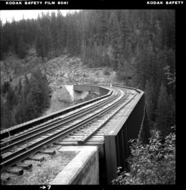
Photograph depicts the East Fork Canyon Bridge over Klo Creek, located at mile 86.5 on the CPR Kettle Valley Railway in Myra Canyon. The bridge is 365 ft. long, 148 ft. high, and has 5 through plate girder spans. The view is looking southwest.
Photograph depicts the East Fork Canyon Bridge over Klo Creek, located at mile 86.5 on the CPR Kettle Valley Railway in Myra Canyon. The bridge is 365 ft. long, 148 ft. high, and has 5 through plate girder spans. The view is looking northeast.
Photograph depicts the East Fork Canyon Bridge over Klo Creek, located at mile 86.5 on the CPR Kettle Valley Railway in Myra Canyon. The bridge is 365 ft. long, 148 ft. high, and has 5 through plate girder spans. The view is looking north.
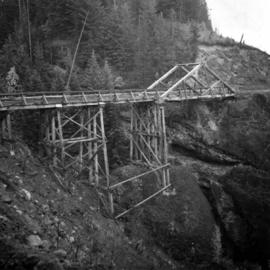
Postcard depicts a bridge on the CPR line.
Photograph depicts a bridge on the Upper Clearwater Rd., 10 miles north of Clearwater. The town is 70 miles north of Kamloops. The road leads north (to left side of photo) to the entrance of Wells Gray Provincial Park.
Photograph depicts bridge over the Alouette River, 3.5 miles north of Port Hammond and close to Dewdney Truck Road in the Fraser Valley.
Photograph depicts a bridge over the Alouette River, 3.5 miles north of Port Hammond in the Fraser Valley.
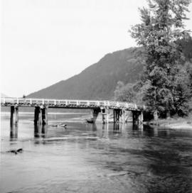
Photograph depicts a bridge over Clearwater River.
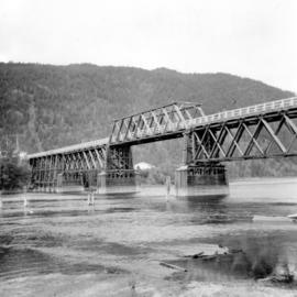
Photograph depicts a bridge over Kettle River.
Photograph depicts a bridge over Lardeau River. Survey stakes at the point where the photograph was taken suggested that a new bridge would be built within the next 2 or 3 years.
Photograph depicts a bridge over the Nanaimo River on the road between Nanaimo and Cedar-by-the-Sea, looking west, downstream to river.
Photograph depicts the bridge over the Nicola River at Spences Bridge in the north Fraser Canyon, looking downstream.
Photograph depicts the bridge over the Nicomen Slough (which was a turgid smal arm of the Fraser River at this point) at Dewdney. It was fairly recently built.
Photograph depicts a bridge near the beginning of the Seton Portage to D'Arcy dirt road over the Portage River. The road was a one and half of a mile connection between the Anderson (upper) and Seton (lower) lakes.
