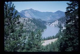
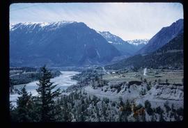
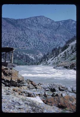
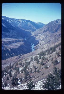
File consists of maps and notes relating to the original Prince George city plans by Brett and Hall. Brett & Hall were landscape architects from Boston, MA who designed the original plan for Prince George, including features such as the Crescents neighbourhood. Includes photographs depicting the original plans by Brett & Hall for Prince George (2006).
File consists of a photocopy of "Journal and Report of Preliminary Explorations in British Columbia" originally written in 1872 by A.R.C. Selwyn in Geologic Survey Report of Progress for 1871-72.
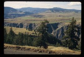
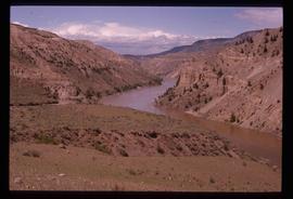
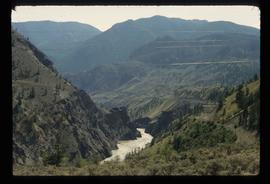
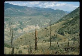
Image depicts a view of the eastern part of the upper Fraser Canyon.
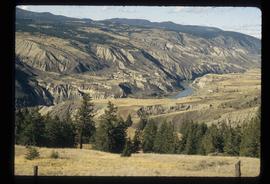
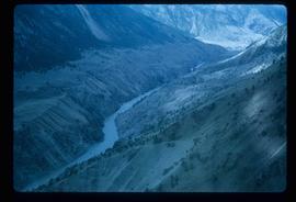
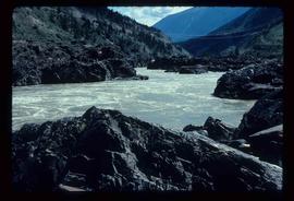
Image depicts the Fraser River passing through the upper Fraser Canyon.
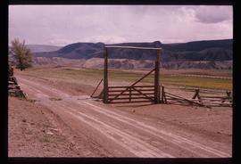
Image depicts the Upper Fraser Canyon from what appears to be the entrance to Gang Ranch.
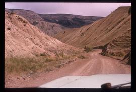
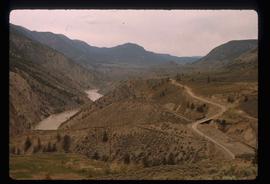
Image depicts a road near or on Gang Ranch in the Upper Fraser Canyon.
Image depicts the Fraser River near Gang Ranch in the Upper Fraser Canyon.
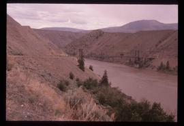
Image depicts a bridge over the Fraser River in the Upper Fraser Canyon; possibly near Gang Ranch.
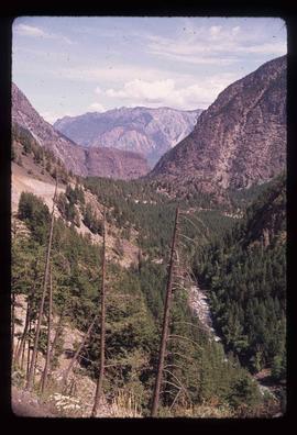
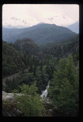
Image depicts a view of the Upper Fraser Canyon.
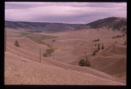
Image depicts a view of some of the scenery near the Upper Fraser Canyon.
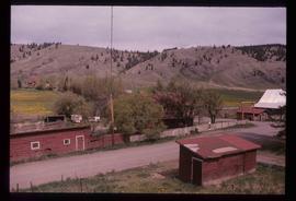
Image depicts the Alkali Lake Ranch in Alkali Lake, B.C.
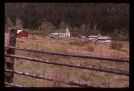
Image depicts a church and several other buildings in Canoe Creek.
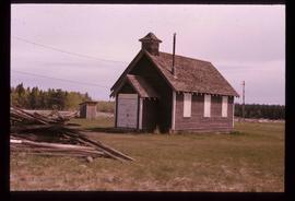
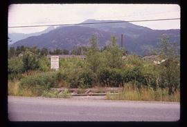
Image depicts an old building at an uncertain location. The slide is simply labelled "Spring house."
File contains slides depicting places in the Lillooet area.
Image depicts the Fraser River in the Lillooet, B.C.
Image depicts a view of the Fraser River near Lillooet, B.C.
Image depicts a view of the Fraser River and the mountains surrounding Lillooet, B.C.
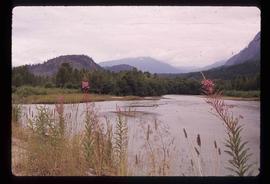
Image depicts the Fraser River near Lillooet, B.C.
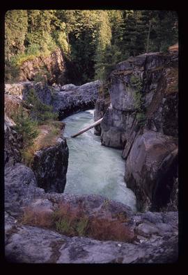
Image depicts the Fraser River running through the Moran Canyon near Lillooet, B.C.
Image depicts an area around Lillooet, B.C. It is possibly the Fraser River running through the Moran Canyon.
Image depicts a view of the Fraser River, as well as a road and railroad, near the Moran Canyon.
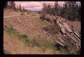
Image depicts the remains of an old bridge, somewhere near Pavilion Mountain.
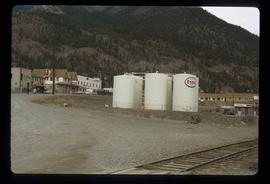
Image depicts Lillooet, B.C.
Image depicts the Fraser River near Lillooet, B.C.
Image depicts a view of Moran Canyon in the Lillooet area. The Fraser River is visible on the left.
File contains slides depicting places around and between Lillooet and Howe Sound.
Image depicts a view of the scenery surrounding Cayoosh Creek.
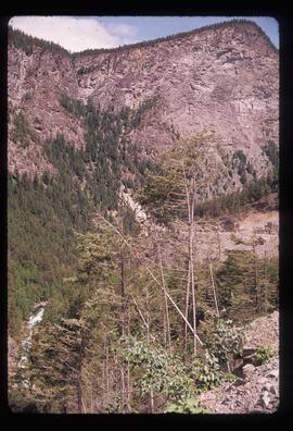
Image depicts a mountain side in Cayoosh Valley.
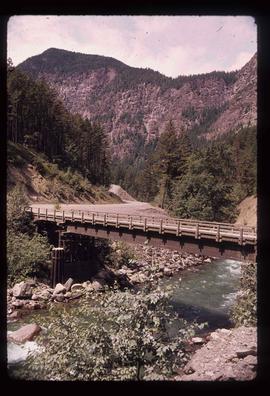
Image depicts a bridge over Cayoosh Creek.
Image depicts the Lillooet River at the head of Lillooet Lake.
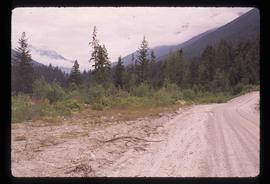
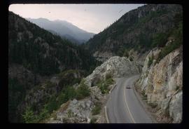
Image depicts a forest and a road, somewhere near Duffey Lake.
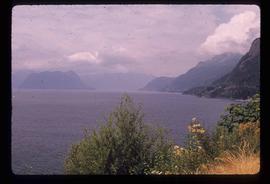
Image depicts Howe Sound.
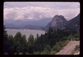
Image depicts a view of Howe Sound from the Stawamus Chief Nature Trail to the Stawamus Chief Mountain, which is often incorrectly referred to as "Squamish" Chief.
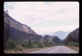
Image depicts Highway 99 north of Squamish and near Pemberton, B.C.
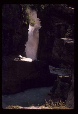
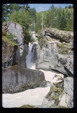
Image depicts the Nairn Falls in Nairn Falls Provincial Park south of Pemberton, B.C.
Image depicts the Nairn Falls in Nairn Falls Provincial Park south of Pemberton, B.C.
Image depicts a view of the scenery near Lillooet, B.C.
Image depicts the condominiums in the "Pemberton Valley Estates" in Pemberton, B.C.
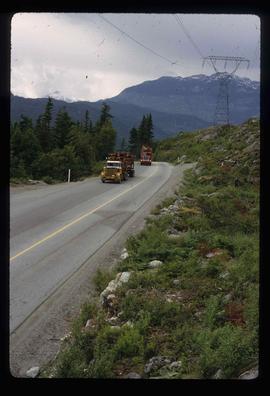
Image depicts two trucks on a road at an uncertain location.
Image depicts a view of Nairn Falls Provincial Park.
Image depicts a view of Nairn Falls Provincial Park.
Image depicts Nairn Falls.
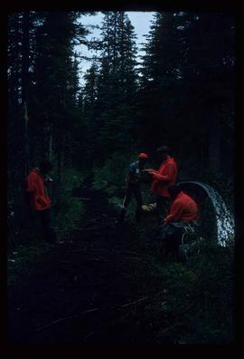
Image depicts the canoe group portaging to Indianpoint Lake.
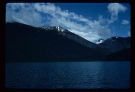
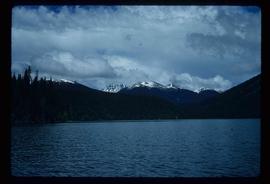
Image depicts Indianpoint Lake.
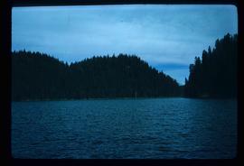
Image depicts the foot of Indianpoint Lake.
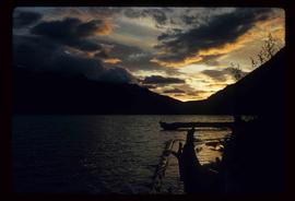
Image depicts the sunset over Isaac Lake from the Betty Wendle campsite.
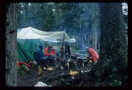
Image depicts a camp at the foot of Isaac Lake.
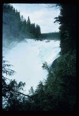
Image depicts the Cariboo Falls.
Image depicts the lower end of the river channel leading to the Spectacle Lakes.
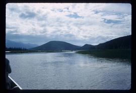
Image depicts a few unknown individuals canoeing in a slough area while on approach to Bowron Lake.
