The item is a photograph depicting schoolchildren in front of the Bonnet Hill school. The photograph is a photograph taken of the original print. Annotation on reverse side of the photograph states, "Bonnett Hill." The Bonnett Hill pub is located at 6957 Giscome Road, Prince George.
The item is a photograph depicting schoolchildren in front of the Bonnet Hill school. The photograph is a photograph taken of the original print. Annotation on reverse side of the photograph states, "Bonnett Hill school, photo in pub." The Bonnett Hill pub is located at 6957 Giscome Road, Prince George.
The item is a photograph depicting a woman standing with the mascot of Boomer the beaver in Fort George Park.
The item is a photograph depicting the exterior view of the front of Bowie's Fasion at 1397 3rd Avenue, Prince George. There is a man walking in front of the business. The side of S. S. Kresge Co. at 1401 3rd Avenue, Prince George can be seen. Photograph originally taken between 1978 and 1979.
The item is a photograph depicting the exterior view of the front of Bowie's Fasion at 1397 3rd Avenue, Prince George. Photograph originally taken between 1978 and 1979.
The item is a photograph depicting the exterior view of the front of Bowie's Fasion at 1397 3rd Avenue, Prince George. Part of The Bay at 1303 3rd Avenue can also be seen. There is a yellow pickup truck parked out front. Photograph originally taken between 1978 and 1979.
The item is a photograph depicting the exterior view of the front of Bowie's Fasion at 1397 3rd Avenue, Prince George. Part of The Bay at 1303 3rd Avenue can also be seen. There is a yellow pickup truck parked out front. Photograph originally taken between 1978 and 1979.
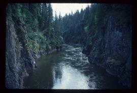
Image depicts what is possibly the Bowron River. The slide is simply labelled "Bowron Canyon."
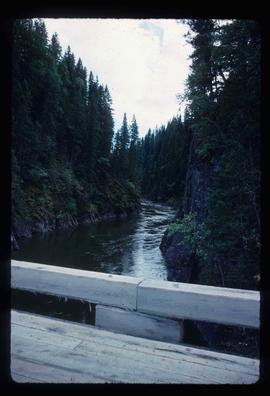
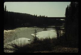
Image depicts what is possibly the Bowron River from a bridge. The slide is simply labelled "Bowron Canyon."
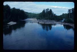
Image depicts what appears to be a log jam on what is possibly the Bowron River. The slide is simply labelled "Bowron Canyon."
The item is a map depicting Bowron Lake Park in British Columbia, the park boundary, the patrol cabin, roads, campsites, glaciers, and trails. Various handwritten annotations are written on the map and Public Shelters are circled in red pen.
File contains slides depicting the Bowron Lake Provincial Park.
Item is an original 1982 map depicting the Bowron River in British Columbia, published by the Province of British Columbia Ministry of Environment.
File contains slides depicting locations in and around Bralorne, B.C.
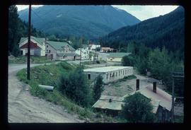
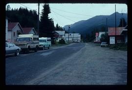
Image depicts Bralorne, B.C.
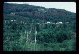
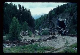
Image depicts an area of Barlone, B.C. surrounded by trees.
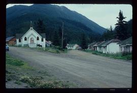
Image depicts a church and a row of houses in Bralorne, B.C.
Image depicts a few boarded-up buildings in Bralorne, B.C.
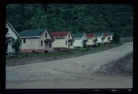
Image depicts a row of houses in Bralorne, B.C.
Image depicts a row of houses in Bralorne, B.C.
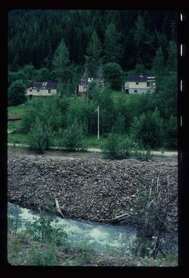
Image depicts several houses in Bralorne, B.C.
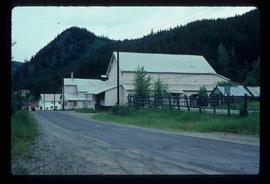
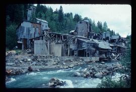
Image depicts what is possibly an old, rundown mill in Bralorne, B.C.
Image depicts what is possibly an old, rundown mill in Bralorne, B.C.
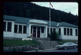
Image depicts the old sales office of Bralorne Pioneer Mines Ltd. which is now the Bralorne Pioneer Museum.
File consists of maps and notes relating to the original Prince George city plans by Brett and Hall. Brett & Hall were landscape architects from Boston, MA who designed the original plan for Prince George, including features such as the Crescents neighbourhood. Includes photographs depicting the original plans by Brett & Hall for Prince George (2006).
File consists of printed emails and typed documents relating to Brett & Hall and an exhibit for the National Gallery of Canada. Brett & Hall were landscape architects from Boston, MA who designed the original plan for Prince George, including features such as the Crescents neighbourhood.
File consists of notes and reproductions relating to Brett and Hall city planning work for Prince George. Brett & Hall were landscape architects from Boston, MA who designed the original plan for Prince George, including features such as the Crescents neighbourhood.
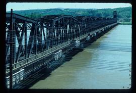
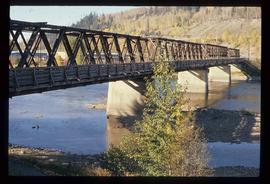
Image depicts a bridge in Prince George, B.C.
Image depicts a bridge in Prince George, B.C.
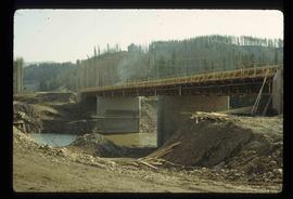
Image depicts a bridge under construction in Tumbler Ridge, B.C.
Image depicts a bridge in Prince George, B.C.
Image depicts a river in Tumbler Ridge, B.C. The bridge crossing it appears to be either half-missing or incomplete.
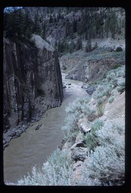
Image depicts the Bridge River near Lillooet, B.C.
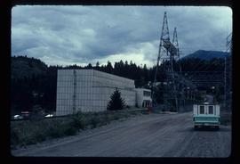
Image depicts the Bridge River No. 1 hydroelectric station on the shore of Seton Lake (rear side of powerhouse).
File consists of notes and reproductions relating to Bridget Moran. Includes material regarding "The Prince George Places of Bridget Moran" presented at The Little Rebellion conference by Kent Sedgwick (2002); "The Prince George Places of Bridget Moran" book by Kent Sedgwick (2009); and historical context of Bridget Moran. Includes: "Little Rebellions Bridget Moran Conference" conference schedule booklet (Mar. 2002).
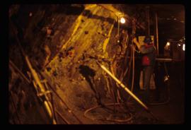
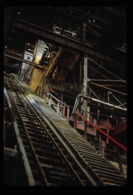
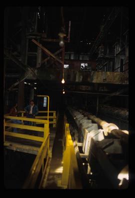
Image depicts the inside of a mine with an unknown individual present. It is possibly the inside of the closed Britannia Mine.
Image depicts a conveyor belt, possibly located inside one of the old buildings at what is possibly the closed Britannia Mine.
Image depicts a piece of industrial machinery, possibly located at the closed Britannia Mine. Two unknown individuals are also present in the image.
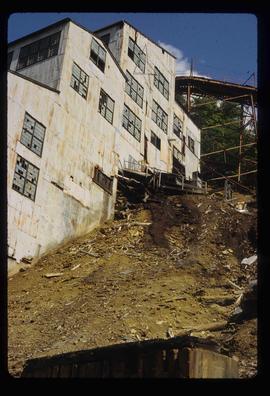
Image depicts an old building, possibly located at the closed Britannia Mine.
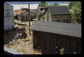
Image depicts a number of old buildings, possibly located at the closed Britannia Mine.
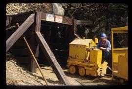
Image depicts the entrance to a mine with an unknown individual present. It is possibly the entrance to the closed Britannia Mine in the Howe Sound Region.
File consists of notes, a reproduction, and a clipping relating to British Columbia's 150th anniversary, "BC150", in 2008.
Item is an original 1970 map of British Columbia with annotations of Kent's travels throughout the province highlighted in yellow. The map was originally published by the Department of Lands, Forests and Water Resources in British Columbia.
Item is an original map depicting British Columbia published by the National Atlas Information Geographical Services Division.
File consists of notes and reproductions relating to the boundary survey done by A.O. Wheeler, who was employed by British Columbia Government as a surveyor in 1922 to survey the boundary between British Columbia and Alberta.
File consists of notes and typed documents relating to the British Columbia Ecomuseum Symposium.
File consists of notes, clippings, and reproductions relating to the British Columbia Express Company. Barnard's Express, later known as the British Columbia Express Company or BX, was a pioneer transportation company that served the Cariboo and Fraser-Fort George regions in British Columbia, Canada from 1861 until 1921.
File consists of notes, clippings, and reproductions relating to British Columbia historical bibliographies and reference material. Includes: "Rural British Columbia: A Bibliography of Social and Economic Research" typescript document compiled by Dean S. Goard (1967); "Photo chronicler of B.C. a century ago" clipped article from Canadian Photography magazine (Feb. 1977); and "A Guide to British Columbia Stop of Interest Plaques" pamphlet by the Parks Branch of British Columbia (1969).
File consists of notes and printed emails relating to the British Columbia Historical Federation.
File consists of notes and reproductions relating to the British Columbia Historical Federation 2006 Annual Conference in Kimberley. Includes: "Kimberley Historic Calendar" prepared by the Kimberley Heritage Museum (2005).
