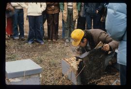
Image depicts a man in a yellow cap who appears to be blowing smoke into a bee colony at a bee farm. It appears to be an educational demonstration.
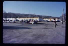
Image depicts a group of people throwing a frisbee in a parking lot at an uncertain location, likely in the Peace River Region.
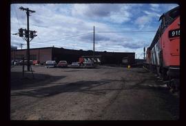
Image depicts trains at the Grand Trunk Pacific railway roundhouse in Prince George, B.C.
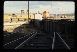
Image depicts the Grand Trunk Pacific railway roundhouse in Prince George, B.C.
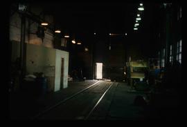
Image depicts the interior of the GTP roundhouse in Prince George, B.C.
File contains slides depicting the remains of the old Miworth Ferry in Miworth, B.C.
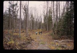
Image depicts four unknown individuals hiking along a path in the woods somewhere near Miworth, B.C.
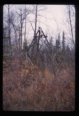
Image depicts an old, pyramid shaped wooden frame somewhere near Miworth, B.C.
File contains slides depicting places in Kitimat, B.C.
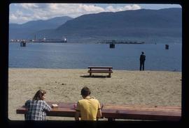
Image depicts two individuals seated at a picnic table while a third stands closer to the water on a beach somewhere in Kitimat, B.C. What appears to be a harbour can be seen on the water.
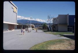
Image depicts numerous individuals passing in front of the Bay in Kitimat, B.C.
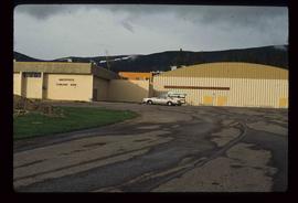
Image depicts the Mackenzie Curling Rink.
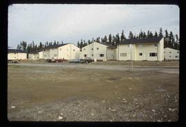
Image depicts numerous condominiums somewhere in Mackenzie, B.C.
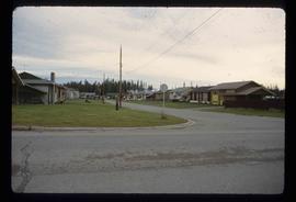
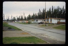
Image depicts a row of houses in Mackenzie, B.C.
Image depicts a row of houses in Mackenzie, B.C.
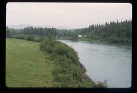
Image depicts the Germansen River, with the buildings of Germansen Landing visible on the other side.
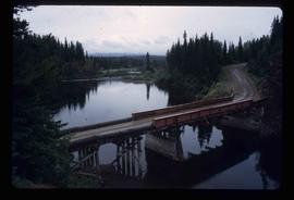
Image depicts a bridge over the Nation River somewhere south of Manson Creek, B.C.
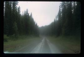
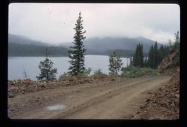
Image depicts the road to Manson Creek, B.C.
Image depicts the road to Manson Creek, B.C.
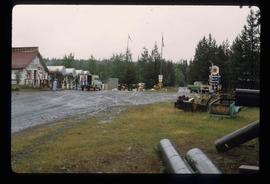
Image depicts Manson Creek, B.C.
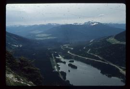
Image depicts a view of Pine Pass.
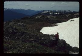
Image depicts an unknown individual and some snow located somewhere along the Murray Ridge.
File consists of clippings, notes, and reproductions relating to the house of Harry G. Perry, a politician and founding community member of Prince George. Includes: "Heritage site inventory" typescript document (1988); "Heritage advisory committee minutes" reproduction of a typescript document (13 Nov. 1980); "Application to rezone lots" typescript document from the City of Prince George (3 Mar. 1982); "By-law No. 3631" typescript document from the City of Prince George (24 Nov. 1980); "Minutes" typescript document from the Prince George and Fraser-Fort George Regional District Heritage Advisory Committee (13 Nov. 1980); "The Carter House" typescript letter from the Heritage Advisory Committee to the City of Prince George (21 Sept. 1979); and "RE: Status Report" typescript document from the City of Prince George to the Joint Heritage Committee (9 Sept. 1980). Also includes architectural drawings depicting plans for building the Carter house at 1850 Tenth Ave, Prince George (1979).
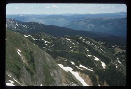
Image depicts a view of Murray Ridge.
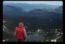
Image depicts the back of a man looking out over Murray Ridge.
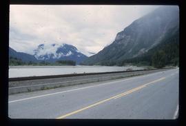
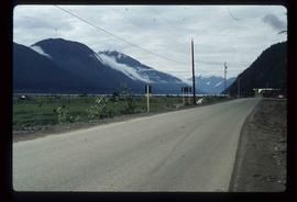
Image depicts the Skeena River.
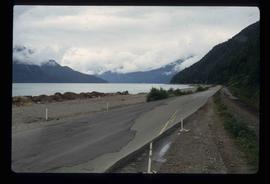
Image depicts the Skeena River, as well as a stretch of highway that appears to be under construction.
File contains slides depicting places in and around Prince Rupert, B.C.
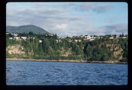
Image depicts numerous houses on the cliff-sides in Prince Rupert, B.C.
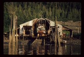
Image depicts a boat docked inside what appears to be a type of boathouse, possibly located in Metlakatla near Prince Rupert, B.C.
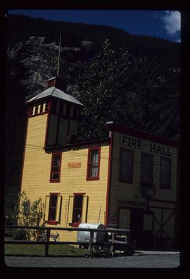
Image depicts the old Fire Hall, now a museum, in Stewart, B.C.
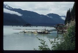
Image depicts Stewart Harbour in Stewart, B.C.
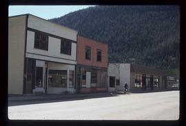
Image depicts several buildings along the main street in Stewart, B.C. One of them has been boarded up.
Image depicts the road leading to Hyder, which is on the other side of the Alaska-British Columbia border and is just a little south-west of Stewart, B.C.
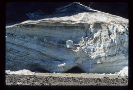
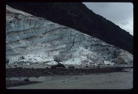
Image depicts a glacier at an uncertain location; the slide is labelled "before."
Image depicts a glacier at an uncertain location; the slide labels it as "avalanche glac."
Subseries contains material collected and created by Kent Sedgwick for research regarding various areas surrounding Prince George. Includes materials on the Crooked River area; Summit Lake; Ferguson Lake; Chief Lake; Salmon Valley; Mud River; Beaverly; Buckwater; Chilako River; Indian Reserve no. 4; Blackburn; Pineview; Stone Creek; Red Rock; Woodpecker; and Hixon. The files primarily consist of research notes and photographs depicting the communities.
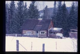
Image depicts a log cabin somewhere in Dome Creek, B.C.
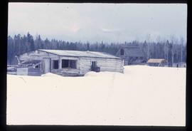
Image depicts an old, unused log cabin somewhere in Dome Creek, B.C.
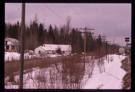
Image depicts several houses in Dome Creek, B.C.
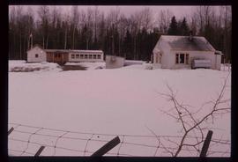
Image depicts the school and teacherage located in Dome Creek, B.C.
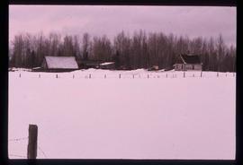
Image depicts a small farm located in Dome Creek, B.C.
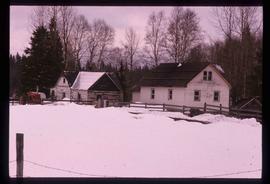
Image depicts a farmhouse in Dome Creek, B.C.
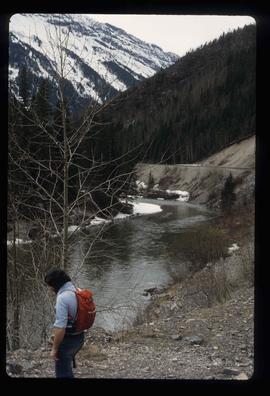
Image depicts a river, possibly the Peace River.
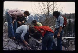
Image depicts a group of individuals who appear to be examining a rock. It is possibly part of an educational trip.
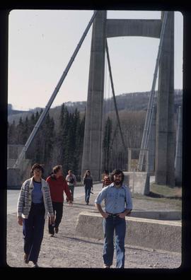
Image depicts several unidentified individuals and a bridge behind them; it is possibly crossing the Peace River.
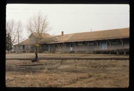
Image depicts a set of railway tracks and a long building located somewhere in the Peace River Region.
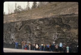
Image depicts a large group of people examining the sediment layers in a rock face.
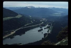
Image depicts a view of Pine Pass.
Image depicts logs being stripped of their bark at a saw mill in Prince George, B.C.
