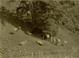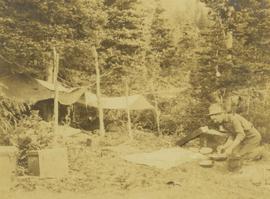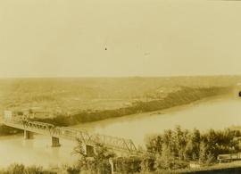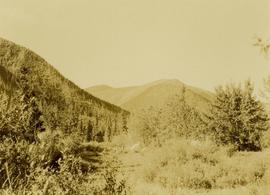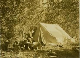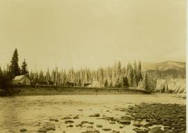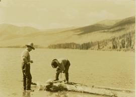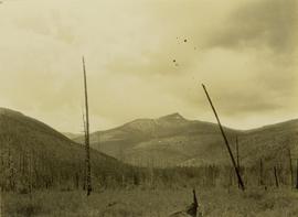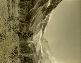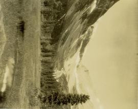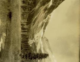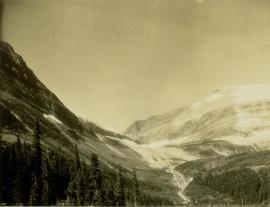
2000.19.3.193
·
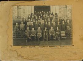
Item
·
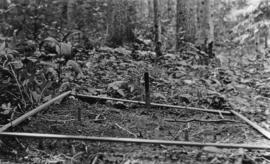
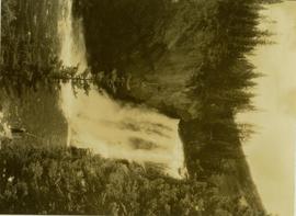
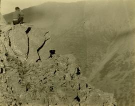
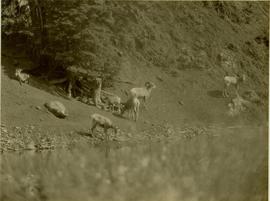
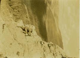
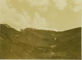
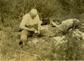
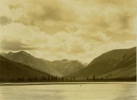
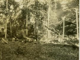
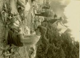
1928
Part of Prentiss Gray Collection
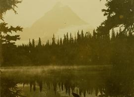
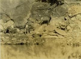
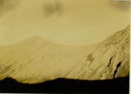
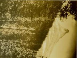
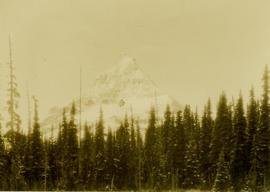
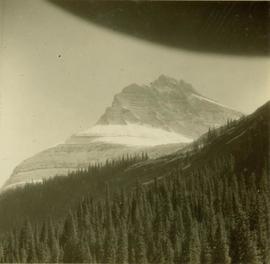
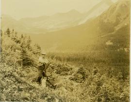
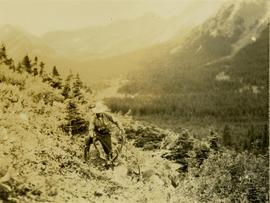
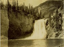
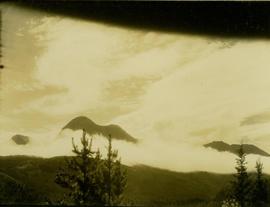
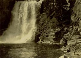
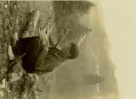
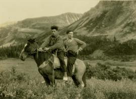
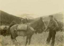
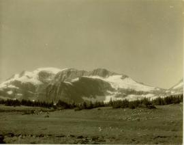
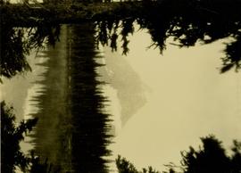
Barbara Lakes also known as Jarvis Lakes.