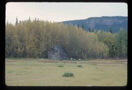
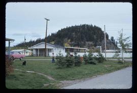
2012.13.1.87.049
·
Item
·
[between 1975 and 1995]
Part of J. Kent Sedgwick fonds
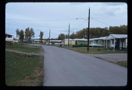
Image depicts a row of houses in Upper Fraser, B.C. Map coordinates 54°06'51.6"N 121°56'26.3"W