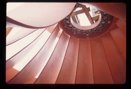
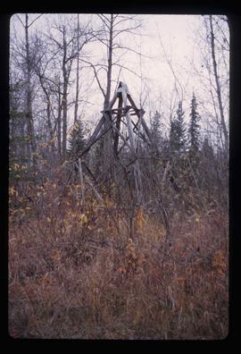
2012.13.1.77.30
·
Stuk
·
1980
Part of J. Kent Sedgwick fonds
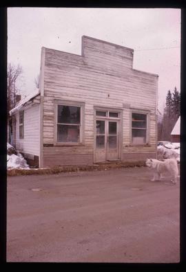
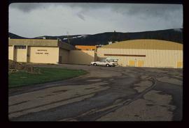
Image depicts the Bank of Nova Scotia located on "Besner Block" in Prince Rupert, B.C.