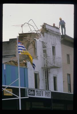
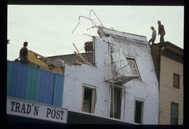
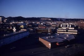
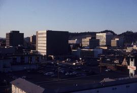
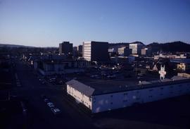
Image depicts the demolition of the Europe Hotel in Prince George, B.C.
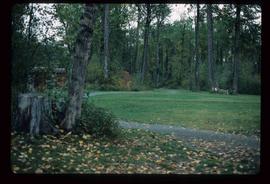
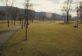
Image depicts a section of the Heritage Trail in Cottonwood Park.
Image depicts a the Cottonwood Island Nature Park sign and map in Prince George, B.C.
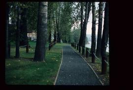
Image depicts a section of the Heritage Trail on Cottonwood Island in Prince George, B.C.
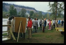
Image depicts a crowd of people on a section of the Heritage Trail on Cottonwood Island in Prince George, B.C.
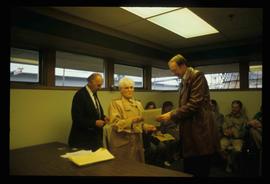
Image depicts a woman holding a sheet of paper in a room with numerous other unidentified individuals. The man standing behind her is possibly Elmer Mercier, a former Mayor of Prince George, B.C.
Image depicts the demolition of the Europe Hotel in Prince George, B.C.
File contains slides depicting maps and site plans for the city of Prince George.
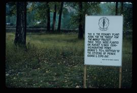
Image depicts a group of trees in the Cottonwood Park, with a sign which reads: "This is the primary plantation for the 'Forest for the World' project. These trees were planted on August 5, 1985, commemorating Prince George's 70th birthday by the citizens of Prince George & Expo 86'."
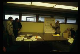
Image depicts a man holding up a board which appears to have maps of the Cottonwood Park on it.
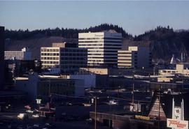
Image depicts downtown Prince George looking northwest. Map coordinates 53°54'48.7"N 122°44'45.6"W
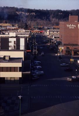
Image depicts a view of Prince George from City Hall looking northeast along George Street. Map coordinates 53°54'46.3"N 122°44'41.9"W
File consists of records created and collected by Kent Sedgwick regarding the Heritage River Trails System and surrounding park areas in Prince George such as Cottonwood Island Park. Highlights include:
- Full page newspaper feature in The Citizen written by Kent Sedgwick that includes a detailed history of Cottonwood Island Park and the River Trails as well as a contest for naming the trail system (2 Nov. 1984)
- Graham Farstad, Director of Planning, City of Prince George, "Prince George's Heritage River Trail System" document, May 1986
- records relating to the dedication plaque for the opening of the trails
- "Heritage River Trails: A Guide to the Pathways along the Fraser and Nechako Rivers, Prince George, British Columbia" brochures created by Kent Sedgwick
- map on transparency depicting the Heritage River Trails System
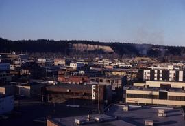
Image depicts downtown Prince George taken from City Hall looking north. Map coordinates 53°54'46.2"N 122°44'43.9"W
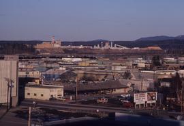
Image depicts a view of Prince George from City Hall looking northeast with the pulp mills in the background. Map coordinates 53°54'46.3"N 122°44'41.9"W
Image depicts downtown Prince George taken from City Hall looking north. Map coordinates 53°54'46.2"N 122°44'43.9"W
Image depicts downtown Prince George taken from City Hall looking northwest. Map coordinates 53°54'46.2"N 122°44'43.9"W
Image depicts downtown Prince George taken from City Hall looking northwest. Map coordinates 53°54'46.2"N 122°44'43.9"W
Image depicts the Fort George Park. Map coordinates 53°54'30.2"N 122°43'57.4"W
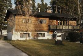
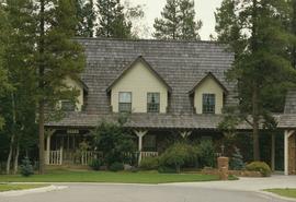
Image depicts a Bavarian style house at College Heights in Prince George, B.C.
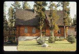
Image depicts a log house located somewhere on Kerry Street in Prince George, B.C.
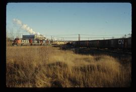
Image depicts two trains in Prince George, B.C.
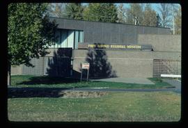
Image depicts the Fort George Regional Museum in Prince George, B.C.
File consists of records created or collected by Kent Sedgwick relating to various community projects associated with river parks. Example projects included in the file are a proposed Carrier village at Hudson Bay Slough, a Cottonwood Island park, proposed commercial boat tours on the Nechako and Fraser River, and the Quesnel Paddlewheel Park. Includes a project proposal document by the Fort George Band entitled "Establishing a Permanent Carrier Village in Prince George" (1990); a 1991 meeting package of the Nechako and Fraser River Valleys Committee (regarding the Cottonwood Island property and development of the Heritage River Trails System); a 1991 memorandum entitled "Prince George River Runners - Proposed commercial boat tours on the Nechako and Fraser River"; a 1983 "Submission to Rivers Committee Public Hearings by Heritage Advisory Committee, City of Prince George" describing the various river-adjacent heritage sites in Prince George; and documentation from the Quesnel Paddlewheel Association.
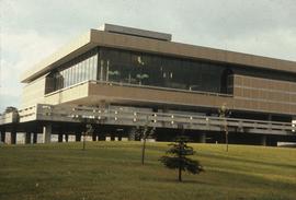
Image depicts the Prince George Public Library (Bob Harkins Branch). Map coordinates 53°54'43.1"N 122°44'56.4"W
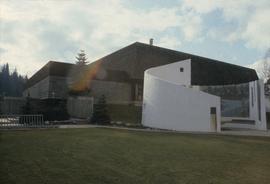
Image depicts the Fort George Regional Museum (now known as The Exploration Place) in Prince George, B.C. Map coordinates 53°54'18.6"N 122°44'09.8"W
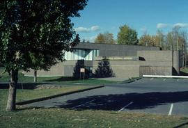
Image depicts the Four Seasons Leisure Pool, and the Centennial Fountain in Prince George, B.C. Map coordinates 53°54'48.5"N 122°44'49.2"W
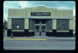
Image depicts the BC Liquor Store in Prince George, B.C.
Image depicts a Cariboo Ranch style house at College Heights in Prince George, B.C.
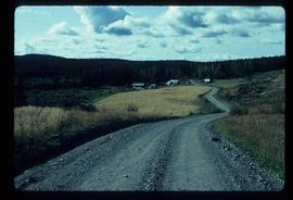
Image depicts a house on Blackwater Road.
Subseries consists of materials collected by Kent Sedgwick for research relating to Lheidli T'enneh First Nations. The Lheidli T'enneh are a sub-group of the Dakelh people whose traditional territory includes the city of Prince George, British Columbia. These files primarily consist of material regarding the original Lheidli T'enneh reserve and cemetery, the reserve relocation, and the desecration of the cemetery.
The Canada Chart depicts Canadian federal and provincial and government information and graphics.
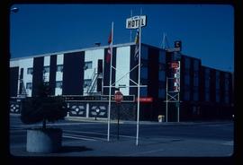
Image depicts the Prince George Hotel.
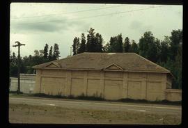
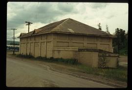
Image depicts a powerhouse in Prince George, B.C.
Image depicts a powerhouse in Prince George, B.C.
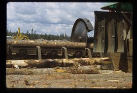
Image depicts a saw cutting a log in half at a saw mill in Prince George, B.C.
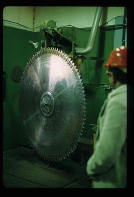
Image depicts a large saw at an indoor location, likely in a saw mill somewhere in Prince George, B.C.
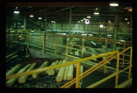
Image depicts the interior of a saw mill somewhere in Prince George, B.C.
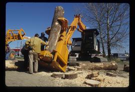
Image depicts two unidentified individuals examining a thick log still attached to the machine that cut it down. It is located somewhere in Prince George, B.C.
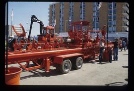
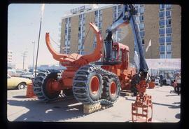
Image depicts several pieces of heavy machinery used in forestry. The Coast Inn of the North is seen in the background.
Image depicts several pieces of heavy machinery used in forestry. The Coast Inn of the North is seen in the background.
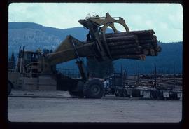
Image depicts a piece of heavy machinery lifting numerous logs off the back of a logging truck. It is likely located in Prince George, B.C.
Photograph depicts a residential building at 1601 6th Avenue, the corner of 6th Avenue and Vancouver Street. Annotation on verso: "CUTE c-7, union, Vancouver/ 6th".
Photograph depicts a residential building at 1648 8th Avenue. Annotation on verso: "1648 - 8th, next to Rosel's".
Photograph depicts a residential building at 1625 4th Avenue. Annotation on verso: "Loedel proposal, 1625 - 4th, (see above)".
Photograph depicts a residential building on the corner of Vancouver Street and 10th Avenue. Annotation on verso: "Trick house, Vancouver/ 10th".
Photograph depicts a residential building at the corner of 6th Avenue and Winnipeg Street. Annotation on verso: "NE corner, 6th / Winnipeg".
Photograph depicts the Europe Hotel on 3rd Avenue.
Photograph depicts the old post office and federal government building at 1299 3rd Avenue prior to the coat of arms removal. Annotation on verso: "fed. govt bldg, (post office), c. 1990, before, coat of arms, removal".
Photograph depicts a parking lot and alleyway behind the Europe Hotel on 3rd Avenue.
