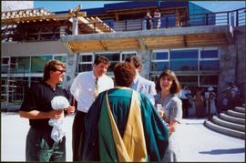
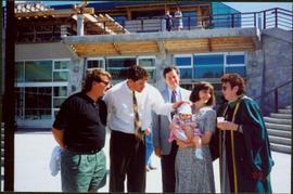
Photograph depicts Moran wearing regalia, facing away from camera in front of family members in the Agora courtyard at the University of Northern British Columbia in Prince George, B.C. Sons Mike (wearing black) and Pat stand on left, and Paul Ramsey stands in grey suit, semi-visible behind Moran. Unidentified individuals stand near Winter Garden in background. Photo taken on the day Moran received an Honourary Law Degree.
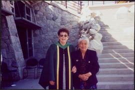
Photograph depicts Moran wearing regalia and linking arms with Mary John. Stone steps in background. The pair stands in the Agora courtyard at the University of Northern British Columbia in Prince George, B.C. Photo taken on the day Bridget Moran received an Honourary Law Degree.
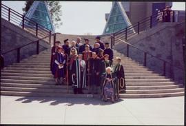
Photograph depicts group of 17 men and women posed on ceremonial steps in Agora courtyard at the University of Northern British Columbia in Prince George, B.C. Most individuals in group wear regalia. Bridget Moran stands in first row, second from right.
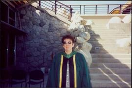
Photograph depicts Moran standing in front of stone steps in Agora courtyard at the University of Northern British Columbia, in Prince George, B.C. Photo taken on the day Moran received an Honourary Law Degree.
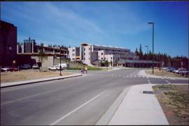
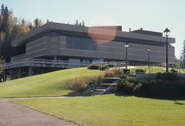
Photograph depicts road at University of Northern British Columbia. Library building stands in center background. Administration and cafeteria buildings can be seen in left background. Accompanying note from Maureen Faulkner: "Walking up to Canada's newest 'U' - ". Photo believed to have been taken on the day Bridget Moran received an Honourary Law Degree.
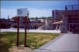
Photograph depicts the Agora center at the University of Northern British Columbia in Prince George, B.C. Sign in foreground reads "Agora/Student Centre". Unidentified individuals can be seen in red blankets on upper walkway in background, above the Winter Garden. Accompanying note from Maureen Faulkner: "The first nations people, in button blankets, gather". Photo believed to have been taken on the day Bridget Moran received an Honourary Law Degree.
Photograph depicts Moran wearing regalia, standing to right of family members in the Agora courtyard at the University of Northern British Columbia in Prince George, B.C. Sons Mike (wearing black) and Pat stand on left, and Paul Ramsey stands in center. Unidentified individuals stand near Winter Garden in background. Photo taken on the day Moran received an Honourary Law Degree.
File contains slides depicting the Summerfest in Prince George, B.C. in 1994.
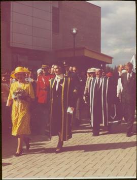
Photograph taken at the University of Northern British Columbia in Prince George, B.C. Campagnolo and Weller wear full regalia, and RCMP officers can be seen in crowd.
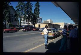
Image depicts a group of individuals on the sidewalk outside Spee-Dee Printers on Brunswick Street in Prince George, B.C.
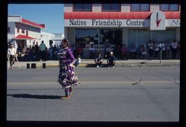
Image depicts a woman, wearing clothes reminiscent of traditional First Nations, who appears to be dancing in the street outside of a Native Friendship Centre in Prince George, B.C. A large crowd is looking on.
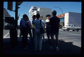
Image depicts a group of individuals standing on the corner of 3rd Ave in Prince George, B.C.
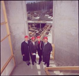
Left to right: Interior University Society President Murray Sadler, Prince George Mayor John Backhouse, Chancellor Iona Campagnolo, and President Geoffrey R. Weller.
Handwritten annotation on verso reads: “Construction of UNBC”.
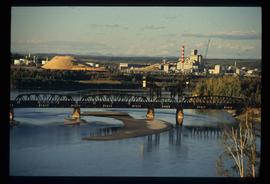
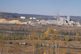
Image depicts two mills; the Intercontinental Pulp Mill is on the right in the foreground, and the Prince George Pulp and Paper Mill is on the left in the background. The picture is taken from the South, possibly off Yellowhead Bridge in Prince George, B.C.
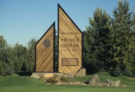
Image depicts the Prince George welcome and population sign, with a population of 71,086. Map coordinates 53°53'52.0"N 122°46'08.7"W
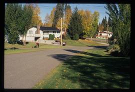
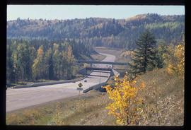
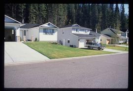
Image depicts a neighbourhood on the Hart Highway in Prince George, B.C.
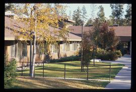
Image depicts Parkside Intermediate Care Home on Ospika Boulevard in Prince George. Map coordinates 53°55'02.6"N 122°47'41.6"W
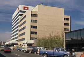
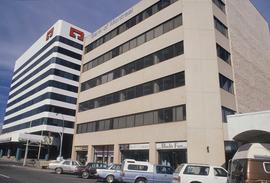
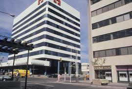
Image depicts 3rd Ave at Victoria St. Map coordinates 53°55'03.9"N 122°44'54.8"W
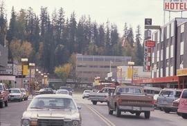
Image depicts George St in downtown Prince George with City Hall in the background. Also visible are the Prince George Hotel and a movie theatre. Map coordinates 53°54'55.0"N 122°44'36.1"W
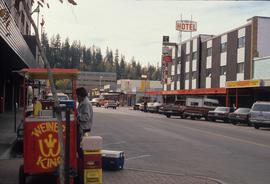
Image depicts George St in downtown Prince George with City Hall in the background. Also visible are the Prince George Hotel, Ming's Inn Chinese Restaurant, Fraser Stationers Ltd., Weiner King food cart, and a movie theatre. Map coordinates 53°54'55.0"N 122°44'36.1"W
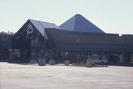
Image depicts Pine Centre Mall in Prince George, B. C. Map coordinates 53°53'53.2"N 122°46'36.4"W
Image depicts the Northwood pulpmill in Prince George B.C.
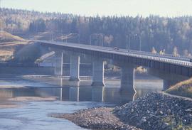
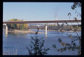
Image depicts the Yellowhead Bridge across the Fraser River. Map coordinates 53°54'45.2"N 122°43'27.9"W
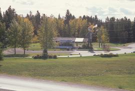
Image depicts Mr. P.G. and the Tourism Information site at the intersection of Highway 16 and 97. Map coordinates 53°53'46.5"N 122°46'00.7"W
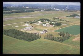
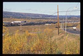
Image depicts a view of an experimental farm, possibly taken from Tabor Mountain.
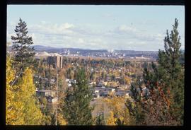
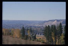
Image depicts Prince George, possibly with the Northwood Pulpmill in the background.
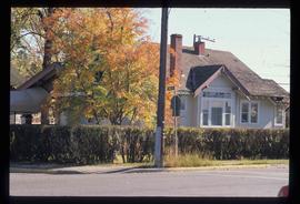
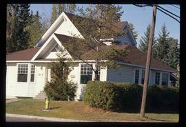
Image depicts a house on the corner of 7th Ave and Vancouver Street in Prince George, B.C.
Image depicts a house on the corner of 12th Ave and Vancouver Street in Prince George, B.C.
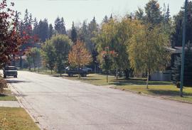
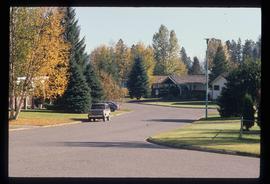
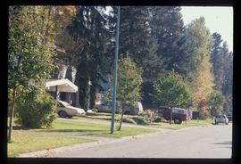
Image depicts a subdivision of Prince George, B.C.
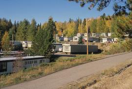
Image depicts trailer homes in Prince George, B.C.
Image depicts 3rd Ave at Victoria St. Map coordinates 53°55'03.9"N 122°44'54.8"W
Image depicts 3rd Ave at Victoria St. Map coordinates 53°55'03.9"N 122°44'54.8"W
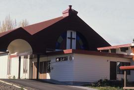
Image depicts the Salvation Army on Ospika Boulevard in Prince George, B.C. Map coordinates 53°55'02.6"N 122°47'41.6"W.
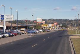
Image depicts Central Street West, parallel to Highway 97 in Prince George, B.C. looking north. Shown: Prince George Motors and other car dealerships, Burger King, Grama's Inn, and the Spruceland Shopping Mall sign. Map coordinates 53°54'42.1"N 122°46'53.1"W
Image depicts the Fraser River and the Yellowhead and Grand Trunk Railway Bridges from LC Gunn Park. Map coordinates 53°54'30.7"N 122°43'27.0"W
Image depicts the Northwood pulpmill in Prince George B.C.
Image depicts the Foothills Bridge over the Nechako river on the Foothills Boulevard in Prince George, B.C. Map coordinates 53°56'52.5"N 122°48'59.9"W
Image depicts the Grand Trunk Railway bridge across the Fraser River. Map coordinates 53°54'29.0"N 122°42'06.5"W
Image depicts Prince George, possibly with the Northwood Pulpmill in the background.
Image depicts the Seymour Subdivision in Prince George, B.C.
Image depicts the Seymour Subdivision in Prince George, B.C.
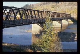
Image depicts a bridge in Prince George, B.C.
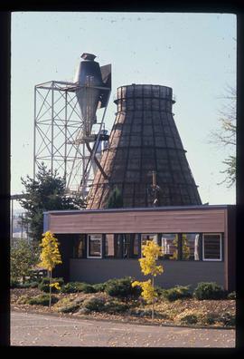
Image depicts a Beehive Burner along the Nechako on River Road. Map coordinates 53°55'34.1"N 122°44'58.0"W
Image depicts the Prince George Public Library (Bob Harkins Branch). Map coordinates 53°54'44.6"N 122°45'01.7"W
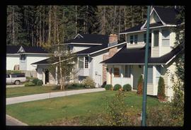
Image depicts a neighbourhood on North Meadows Road in Prince George, B.C.
Image depicts a neighbourhood on North Meadows Road in Prince George, B.C.
Image depicts Parkside Intermediate Care Home on Ospika Boulevard in Prince George. Map coordinates 53°55'02.6"N 122°47'41.6"W
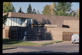
Image depicts the Fort George Regional Museum in Prince George, B.C. Map coordinates 53°54'18.6"N 122°44'09.8"W
Image depicts 3rd Ave at Victoria St. Map coordinates 53°55'03.9"N 122°44'54.8"W
Image depicts the Salvation Army on Ospika Boulevard in Prince George, B.C. Map coordinates 53°55'02.6"N 122°47'41.6"W
