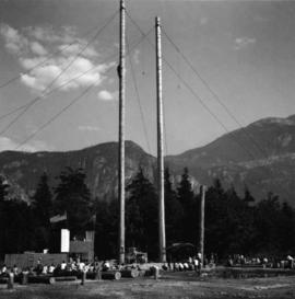
2013.6.36.1.004.12
·
Item
·
[1965?]
Parte de David Davies Railway Collection
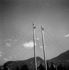
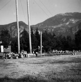
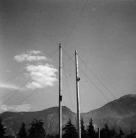
Photograph depicts pole climbing in logger sports probably at Squamish, B.C.