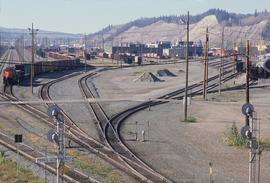
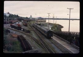
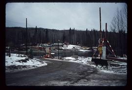
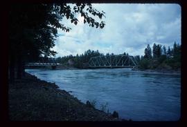
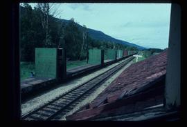
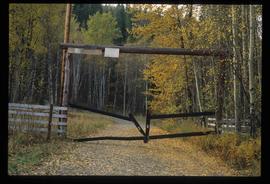
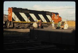
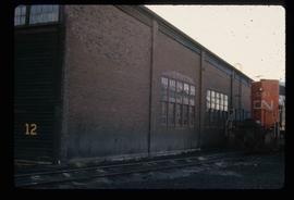
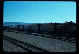
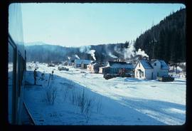
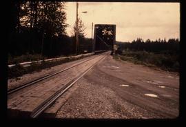
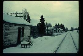
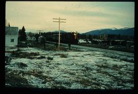
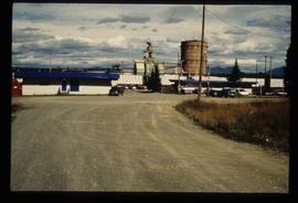
Image depicts a number of trains in the CNR train yard taken from River Road in Prince George, B.C. Map coordinates 53°54'51.5"N 122°43'29.6"W
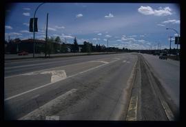
Image depicts a section of Highway 97 looking south. Map coordinates 53°55'10.3"N 122°46'54.9"W
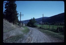
Image depicts the Cariboo Road at Hat Creek Ranch, near Highway 99 on the way to Lillooet.
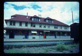
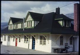
Image depicts the CN rail station in Smithers B.C.
Image depicts the McBride CNR station.
Image depicts the rail yards in Prince Rupert.
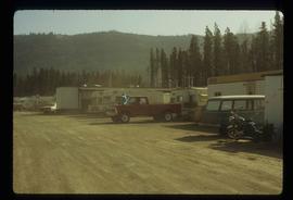
Image depicts numerous campers and other vehicles in Tumbler Ridge, B.C.
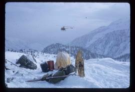
Image depicts a helicopter flying over the Woolsey Glacier.
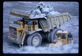
Image depicts an 80 tonne truck full of rocks at the Gibraltar mine site north of Williams Lake, B.C.
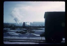
Image depicts the BCR, as well as the Dunkley Lumber Mill, in Strathnaver, B.C.
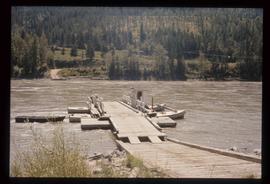
Image depicts the ferry at Soda Creek, B.C.
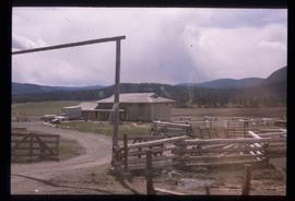
Image depicts what appears to be a Ranch at Soda Creek, B.C.
Image depicts the ferry in Isle Pierre, B.C.
Image depicts two bridges in Telkwa, B.C. One is for trains.
Image depicts the Fraser River at Paddlewheel park, with a train on the other side of the river, in Prince George B.C.
Image depicts the train tracks at the old Dunster Station in Dunster, B.C.
Image depicts a private driveway, most likely leading to the Ginter Property in Prince George, B.C.
Image depicts a train and a group of unknown individuals at the GTP roundhouse in Prince George, B.C.
Image depicts the Grand Trunk Pacific railway roundhouse in Prince George, B.C.
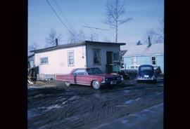
Image depicts a house in Island Cache. There are several cars parked outside it.
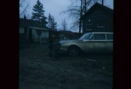
Image depicts two children standing near an old car in Island Cache.
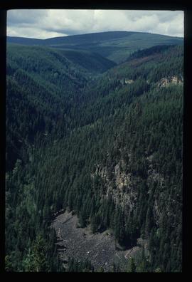
Image depicts the Okanagan Kettle Valley, with the Kettle Rail Road faintly visible among the trees
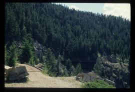
Image depicts the trail of the old Kettle Valley Rail Road.
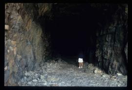
Image depicts a woman standing inside a tunnel from the old Kettle Valley Rail Road.
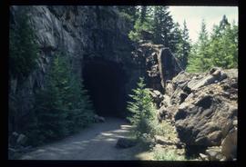
Image depicts the mouth of a tunnel from the Kettle Valley Rail Road.
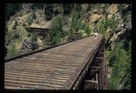
Image depicts a woman standing on the old Kettle Valley Rail Road.
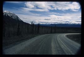
Image depicts what is possibly Atlin Road. Numerous mountains are visible in the distance.
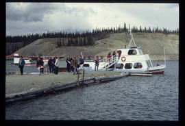
Image depicts numerous unidentified individuals getting off a boat which bears the name "Schwatka." It is located somewhere in Miles Canyon.
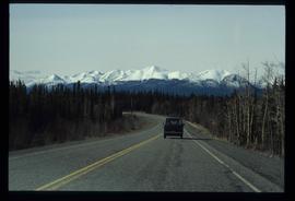
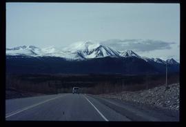
Image depicts a van on a highway with mountains in the distance; the location is uncertain, though it is possibly along the Alaska Highway.
Image depicts a van on a highway with mountains in the distance; the location is uncertain, though it is possibly along the Alaska Highway.
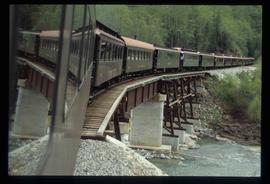
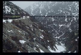
Image depicts the White Pass Train crossing over a railway bridge at an uncertain location.
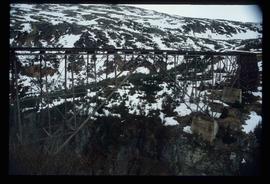
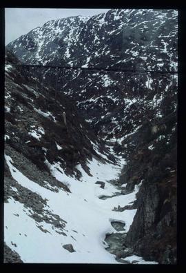
Image depicts an old trestle along the White Pass railway.
Image depicts an old trestle along the White Pass railway.
Image depicts an old trestle along the White Pass railway, and the White pass Train on the left of the image.
Image depicts a train transporting wood planks, possibly in Prince George, B.C.
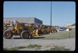
Image depicts numerous tractors at Finning Tractor and Equipment Co. Ltd. located along Highway 97 in Prince George, B.C.
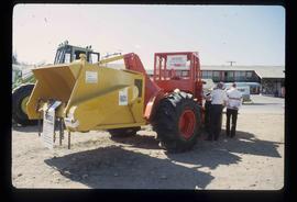
Image depicts two unidentified individuals examining a tractor meant to delimb trees. It is located in Prince George, B.C.
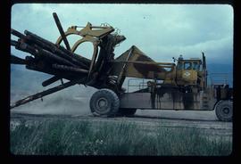
Image depicts a piece of heavy machinery lifting numerous logs. It is likely located in Prince George, B.C.
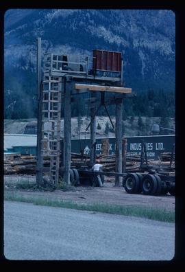
Image depicts a man attaching a logging trailer to a crane on a wooden structure to stack the trailer on the truck. A Crestbrook Forest Industries sawmill is located in the background.
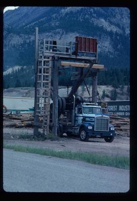
Image depicts a logging truck with its trailer being attached on top of it. A Crestbrook Forest Industries sawmill is located in the background.
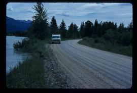
Image depicts a vehicle on a gravel road somewhere near Tête Jaune Cache, B.C.
Image depicts a row of houses and the side of a train in Crescent Spur, B.C.
Image depicts the Hansard railroad bridge looking west. Map coordinates 54°04'37.9"N 121°50'46.3"W
Image depicts railway tracks on the right side of the image, and several old houses alongside it. The location is uncertain.
Image depicts a train and several unidentified individuals who appear to be waiting for it as it passes through Sinclair Mills, BC.
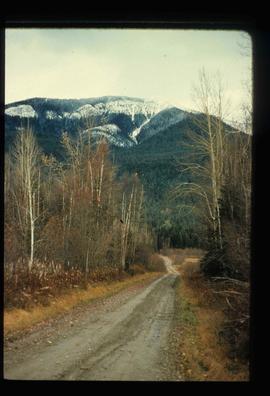
Image depicts a dirt road leading through numerous trees toward a mountain. The location is uncertain, likely on the way to Longworth, B.C.
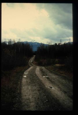
Image depicts a dirt road leading through numerous trees toward a mountain. The location is uncertain, likely on the way to Longworth, B.C.
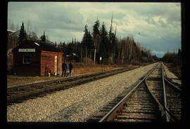
Image depicts two unidentified individuals standing next to the train station, and two railway tracks running through Longworth, B.C.
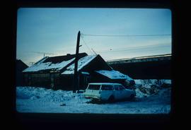
Image depicts and old house and vehicle in Upper Fraser, B.C. Map coordinates 54°07'05.7"N 121°56'38.9"W
Image depicts the entrance to the Upper Fraser mill yard in Upper Fraser, B.C. Map coordinates 54°07'10.8"N 121°56'51.7"W
