Showing 581 results

Archival description
482 results with digital objects Show results with digital objects
2012.13.2.21.06 · File · 1973-1980
Part of J. Kent Sedgwick fonds

File consists of records created and collected by Kent Sedgwick regarding Cottonwood Island in connection with his employment with the City of Prince George Planning Department. Includes briefs, proposals, memoranda, correspondence, newspaper clippings, questionnaires, legal correspondence, meeting minutes, and photocopied excerpts from maps/plans. Also includes two polaroid photo prints depicting garbage in Cottonwood Island Park circa 1979. Highlights include:

  • Prince George Kiwanis Club, "Brief to City Council, City of Prince George, re: Nechako Riverfront Park", 12 Mar. 1973.
  • New Caledonia Institute of Environmental Studies, "Proposal for Cottonwood Island as a Park Reserve", Summer 1973.
  • "Cottonwood Island Study", [before 1975] (photocopy).
  • Mary Fallis, "Letter to the Editor of The Citizen", 5 Mar. 1976 (photocopy).
  • City of Prince George Planning Department, "Ownership, Legal and Assessment Data - Private and School District Properties within the Proposed Replot Area [Island Cache]", 11 Oct. 1978.
  • "Assessed Values for City and Crown Lands within the Proposed Replot Area North of First Ave" (handwritten table), 16 Oct. 1978.
Heritage River Trail System
2012.13.2.21.07 · File · 1984-2000
Part of J. Kent Sedgwick fonds

File consists of records created and collected by Kent Sedgwick regarding the Heritage River Trails System and surrounding park areas in Prince George such as Cottonwood Island Park. Highlights include:

  • Full page newspaper feature in The Citizen written by Kent Sedgwick that includes a detailed history of Cottonwood Island Park and the River Trails as well as a contest for naming the trail system (2 Nov. 1984)
  • Graham Farstad, Director of Planning, City of Prince George, "Prince George's Heritage River Trail System" document, May 1986
  • records relating to the dedication plaque for the opening of the trails
  • "Heritage River Trails: A Guide to the Pathways along the Fraser and Nechako Rivers, Prince George, British Columbia" brochures created by Kent Sedgwick
  • map on transparency depicting the Heritage River Trails System
2012.13.2.21.08 · File · [between 1972 and 1979]
Part of J. Kent Sedgwick fonds

File consists of maps and plans depicting the Cottonwood Island area in Prince George. Includes:

  • "Plan of Subdivision pursuant to the replotting provisions of the Municipal Act of Parcel A of Plan 25046, of District Lots 343, 662, 1511, 4736, and 7813, Cariboo District" by McWilliam, Whyte, Goble & Associates B.C. Land Surveyors for the City of Prince George, 26 July 1979 (reproduction on 2 sheets)
  • "Cottonwood Island" original draft map with annotations by Kent Sedgwick; the map may have been created by Sedgwick during his time as Senior City Planner with the City of Prince George [197-?]
  • "Prince George B.C., Fraser Subdivision, Mile 146.05" plan for Canadian National Railways by Lockwood Survey Corporation Ltd., 1967. This very large technical drawing shows CN leases and private property buildings on Island Cache in detail.
  • McWilliam-Whyte-Goble & Associates, B.C. Land Surveyors, "Plan Showing Sections in Proposed Lakeland Mill Site", July 1978 (original reproduction).
  • Carroll, Hatch & Associates, "Lakeland Mills (1973) Ltd., Prince George, B.C., Stud Mill Studies, Site Plan", 31 July 1978 (original reproduction).
2012.13.2.09 · Subseries · 1967-2005
Part of J. Kent Sedgwick fonds

Subseries contains secondary material collected by Kent Sedgwick for research on the history and geography of Prince George and its region. Includes secondary sources and bibliographic references regarding the history and geography of Prince George and the Central Interior of British Columbia. The files primarily consist of photocopied articles and printed bibliographies.

East Line
2012.13.2.17 · Subseries · 1972-2011
Part of J. Kent Sedgwick fonds

Subseries consists of material collected by Kent Sedgwick for research regarding the communities along the East Line of the Grand Trunk Pacific Railway in Central British Columbia, particularly between Prince George and McBride. These communities and locations include, among others, Shelley, Willow River, Sinclair Mills, Longworth, Dunster, Tete Jaune, Valemount, Mount Robson, and the Yellowhead Pass. Research on these communities was conducted during Kent Sedgwick's involvement in the UNBC-led Upper Fraser Historical Geography Project. The files primarily consist of research notes, audio and transcripts of oral interviews, and photographs of the East Line communities.

2012.13.2.18 · Subseries · 1979-2010
Part of J. Kent Sedgwick fonds

Subseries contains material collected and created by Kent Sedgwick for research regarding various areas surrounding Prince George. Includes materials on the Crooked River area; Summit Lake; Ferguson Lake; Chief Lake; Salmon Valley; Mud River; Beaverly; Buckwater; Chilako River; Indian Reserve no. 4; Blackburn; Pineview; Stone Creek; Red Rock; Woodpecker; and Hixon. The files primarily consist of research notes and photographs depicting the communities.

2012.13.2.21.02 · File · 1970-1979
Part of J. Kent Sedgwick fonds

File consists of records created and collected by Kent Sedgwick regarding the removal of Island Cache residents after the 1972 flood and suggestions for creation of park on Cottonwood Island. The majority of the file consists of reproduced City of Prince George records. Includes memoranda to and from the mayor, city manager, and aldermen; meeting minutes of the Flood Committee; city reports on Cottonwood Island and the flooding situation; a listing of Cottonwood Island properties offered for sale to the municipality; a report entitled "Cottonwood Island - A report on desirable land use" (Nov. 1970); a "Proposal for Cottonwood Island as a Park Reserve" (1973); a document from the Cottonwood Island Study Committee; correspondence from Mary Fallis; and a City of Prince George memorandum regarding a Public Hearing.

Community Involvement
2012.13.3 · Series · 1950-2011
Part of J. Kent Sedgwick fonds

Series contains material created and collected by Kent Sedgwick over the course of his work with the Prince George Heritage Commission, the Alexander Mackenzie Heritage Trail Association, and other local organizations. The files primarily consist of meeting minutes, typescript documents, and correspondence between Sedgwick and the organizations.

Agriculture
2012.13.2.07 · Subseries · 1978-2008
Part of J. Kent Sedgwick fonds

Subseries consists of material collected and created by Kent Sedgwick for research relating to agriculture in Prince George and the surrounding areas including Pineview, Mud River, and Blackburn. Includes material regarding the Prince George experimental farm, historical agriculture, dairying, and ranching.

2012.13.2.08 · Subseries · 1976-2010
Part of J. Kent Sedgwick fonds

Subseries consists of material collected and created by Kent Sedgwick for research relating to museums and historical societies within Prince George. Includes material regarding the Fraser Fort-George Regional Museum, the Exploration Place Museum, the Prince George Railway and Forestry Museum, the Fraser-Nechako Historical Society, the Prince George Oral History Group, and the Prince George Genealogical Society. Also includes publications such as newspapers and calendars created by the museums and societies and various materials regarding activities conducted by the institutions.

2012.13.2.11 · Subseries · 1937-2011
Part of J. Kent Sedgwick fonds

Subseries consists of materials collected by Kent Sedgwick for research on the geography and natural resources in Prince George and its region. Includes material on the natural resource industry, including the opening of the McArthur Sawmill, the W. Lamb and Sons Lumber Sawmill, and mining; photocopied aerial photographs of Prince George; the climate, temperatures, and flooding; and the geographical features of Prince George.

Newspapers and Periodicals
2012.13.2.12 · Subseries · 1958-2006
Part of J. Kent Sedgwick fonds

Subseries consists of newspapers collected by Kent Sedgwick and documents regarding the newspaper history of Prince George and region. Includes newspaper clippings relating to the history of newspapers in Prince George; issues of "The Spruce Needle" Prince George community newspaper; issues of the "Prince George Echo" newspaper; special editions of the Prince George Citizen Newspaper; and issues of "The Islander" magazine from Victoria.

Modern Forestry
2012.13.1.122 · Subseries · [between 1975 and 1982]
Part of J. Kent Sedgwick fonds

File contains slides depicting logging and equipment. Most appear to be locations around Prince George.

P.G. Logging
2012.13.1.122.01 · Item · June 1975
Part of J. Kent Sedgwick fonds

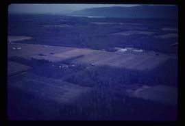
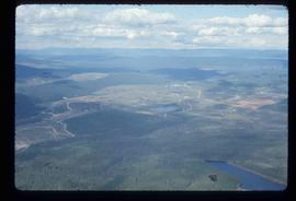
Image depicts an aerial view of areas that have been used for logging around Prince George, B.C.

Clear Cut Logging
2012.13.1.122.03 · Item · Oct. 1975
Part of J. Kent Sedgwick fonds

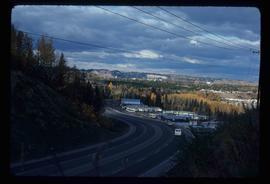
Image depicts a highway, and a section of mountain in the background which is bare due to clear-cut logging. It is possibly somewhere near Prince George, B.C.

Clear Cut Logging
2012.13.1.122.04 · Item · Oct. 1975
Part of J. Kent Sedgwick fonds

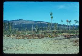
Image depicts a logging area, and a section of mountain in the background which is bare due to clear-cut logging. The slide is also labelled "logging show." It is possibly somewhere near Prince George, B.C.

Sawmill - Lakeland Mills?
2012.13.1.122.07 · Item · Oct. 1975
Part of J. Kent Sedgwick fonds

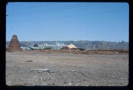
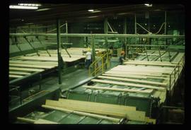
Image depicts a saw mill, possibly Lakeland Mills, with a beehive burner and numerous piles of logs in the foreground, in Prince George, B.C.

Suspended Trailer
2012.13.1.122.09 · Item · Oct. 1975
Part of J. Kent Sedgwick fonds

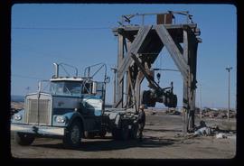
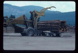
Image depicts a trailer for a logging truck suspended off the ground by a wooden structure. This is used to load the trailer onto the back of the truck. The name on the truck says "Rormarniewich Trucking Ltd."

Sawmill
2012.13.1.122.15 · Item · [1979?]
Part of J. Kent Sedgwick fonds

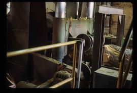
Image depicts logs being stripped of their bark at a saw mill in Prince George, B.C.

Shore Line at Airport
2012.13.1.124.02 · Item · 1970
Part of J. Kent Sedgwick fonds

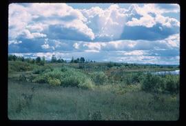
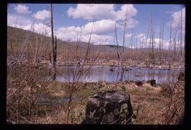
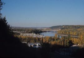
Image depicts the shore line and surrounding land of a lake or river at an airport, possibly in Prince George, B.C.

Skier in a Costume
2012.13.1.129.05 · Item · 1975
Part of J. Kent Sedgwick fonds

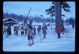
Image depicts a skier in a costume with a fake sword, somewhere on the Birchleg Ski route on Tabor Mountain in Prince George, B.C.

Handshake
2012.13.1.133.09 · Item · 1985
Part of J. Kent Sedgwick fonds

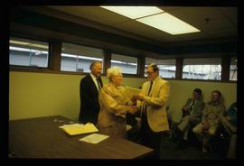
Image depicts a man and woman shaking hands in a building at an uncertain location, possibly in Cottonwood Park. The man standing behind the two is possibly Elmer Mercier, a former mayor of Prince George, B.C.

Businesses along 3rd Avenue
2012.13.1.135.01.24 · Item · [between 1980 and 2000]
Part of J. Kent Sedgwick fonds

Photograph depicts various businesses along 3rd Avenue. The businesses include the Europe Hotel and The Bay in the background. Annotation on verso: "left Europe Hotel, right shearer bldg".

From Cutbanks
2012.13.1.3.005 · Item · Apr. 1972
Part of J. Kent Sedgwick fonds

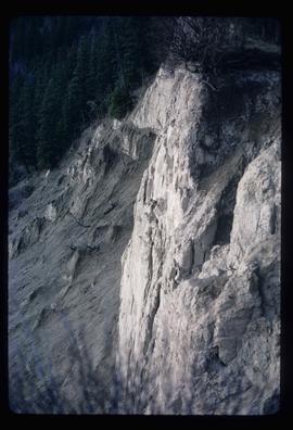
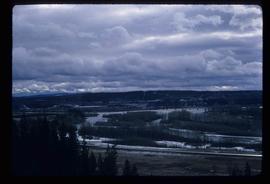
Image depicts the Fraser River from the vantage point of the cutbanks in Prince George, B.C.

Agriculture
2012.13.1.3.036 · Item · Nov. 1977
Part of J. Kent Sedgwick fonds

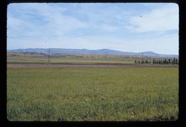
Image depicts an agricultural field, most likely near Prince George, B.C.

View from Gunn Point
2012.13.1.3.061 · Item · Nov. 1979
Part of J. Kent Sedgwick fonds

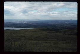
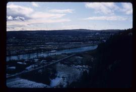
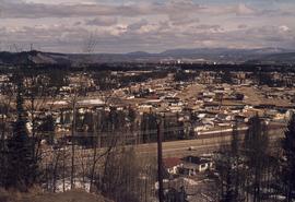
Image depicts a view of Prince George from Gunn Point in the L.C. Gunn Park looking north. Map coordinates 53°54'26.2"N 122°43'35.8"W.