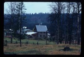
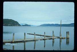
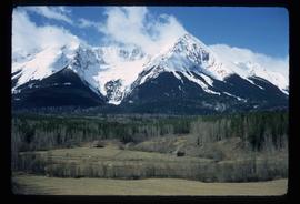
2012.13.1.049
·
Subseries
·
2002
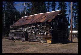
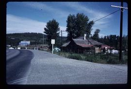
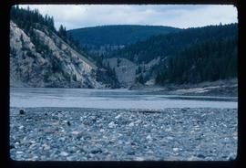
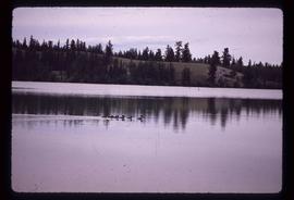
Part of J. Kent Sedgwick fonds
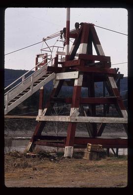
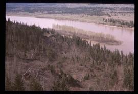
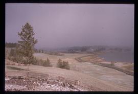
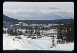
File contains slides depicting Mud River.