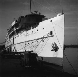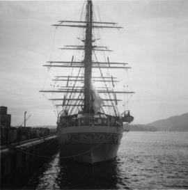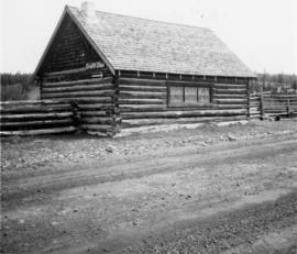
2013.6.36.1.068.01
·
Stuk
·
[23 May 1971]
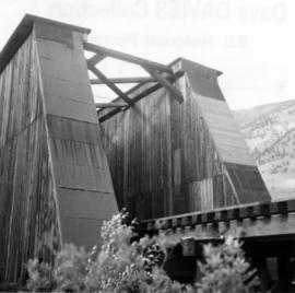
Part of David Davies Railway Collection
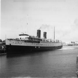
Photograph depicts the "SS Princess Marguerite" arriving with sightseers from Seattle in the Inner Harbour of Victoria.