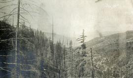
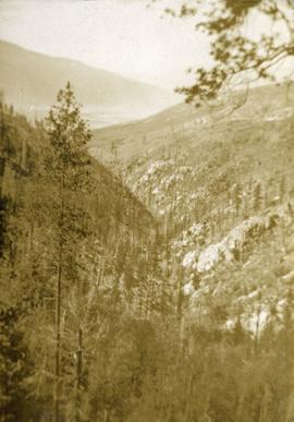
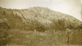
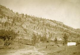
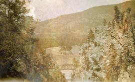
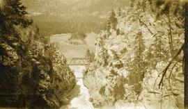
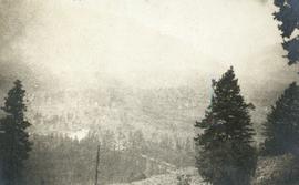
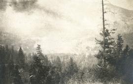
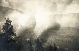
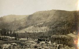
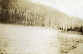
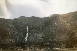
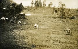
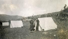
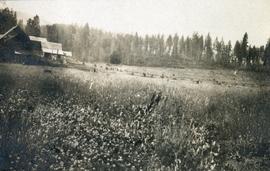
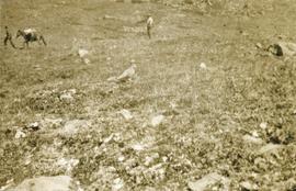
Photograph depicts a ptarmigan in the foreground, two men on foot, leading a packhorse across a meadow.
Photograph depicts packed horses walking in single file across an alpine meadow.
Photograph depicts looking beyond a treed mountain ridge to snow capped mountains in the distance.
Photograph depicts lush forest growth and tall trees.
Photograph depicts a view looking down from a high forested slope to Woodpecker Island on the Fraser River, BC.
Photograph depicts a man and a woman standing in front of a log home and nearby shed. There are stumps in the foreground and tall timber in the background.
Photograph depicts several canvas tents set on rocky, newly cleared ground. Tall trees in the background, a creek on the right.
Photograph depicts a large concrete post with dirt mounded around.
Photograph depicts forest growth with fallen trees and remnants of a forest fire.
Photograph depicts looking down on a sparsely forested mountainside.
Photograph depicts a steep sparsely forested slope with a view to a wider valley beyond.
Photograph depicts a view looking toward the mountain top up a sparsely forested steep mountain slope.
Photograph depicts two men standing beside a canvas tent. There are two tents to the left in the midground and sparsely forested hills and low mountains in the background.
Photograph depicts a field and fence in the foreground, an orchard in the midground, a rocky mountain slope in the distance.
Photograph depicts some stumps and grassland in the foreground, a few buildings on the right, sparsely forested rocky hillside in the background.
Photograph depicts a view of the Kettle River canyon and traffic bridge.
Photograph depicts the Kettle river valley between Cascade BC and the American Boundary.
Photograph depicts a cleared field in the foreground, barns and buildings on the left and trees in the background.
Photograph depicts bears in captivity. The large bear is chained by a neck collar.
Photograph depicts a ranch style gate looking beyond to a road and buildings.
Photograph depicts a foreground of forest looking toward Christina lake with mountains in the background.
Photograph depicts a young female standing beside an open tent in outdoor clothing (possibly a crew member?).
Photograph depicts a view of a forested valley, a human figure stands on a path in the midground.
Photograph depicts a view of well kept buildings, orchard and mountains in the background.
Photograph depicts orchards with mountains in the background.
Photograph depicts a view of main street Grand Forks, BC.
Photograph depicts a newly cleared field, forest and mountains in the background.
Photograph depicts a view of Victoria from a ship in the Inner Harbour. Visible on the shore, from right to left, are: the Empress Hotel, the Belmont, the Customs Building, and other buildings along Douglas Street.
Photograph depicts a large construction in Victoria BC, possibly be related to the construction of the Johnson Street Bridge or the construction of a large building near the shoreline.
Photograph depicts the bridge at Goodacre Pond in Beacon Hill in Victoria, BC. Swans are swimming in the pond and there is a path and footbridge behind the pond.
Photograph depicts a view from a water vessel looking toward an inlet and mountains near the shore.
Photograph depicts an expanse of water, on the shore are low treed hills and snow peaked mountains in the distance.
Photograph depicts a waterfall on a rocky mountainside. There are snow peaked mountains in the distance.
File consists of notes, clippings, and reproductions relating to a downtown walking tour conducted by Sedgwick for the British Columbia Historical Federation 2003 conference. Also includes photographs depicting participants of the BC Historical Federation Conference on a downtown walking tour in Prince George (2003).
File consists of notes and reproductions for use by Kent Sedgwick for lectures. Includes: "Annual Meeting Western Division Canadian Association of Geographers" conference program and abstracts (7-8 Mar. 1997).
File consists of notes relating to Kent Sedgwick's guest lecture on historical geography and transportation routes in New Caledonia, including the interior plateau of Central British Columbia. Includes correspondence with James Windsor, the instructor for the course, and Kent Sedgwick's notes for the lecture.
File consists of notes and reproductions relating to Kent Sedgwick's guest lecture for UNBC course "GEOG 200 Geography of British Columbia".
File consists of a bound work entitled "Prince George Papers: Based on a field excursion taken in the Summer semester, 1974" that was produced by a Geography 262 course Simon Fraser University taught by professor L.J. Evenden. This work includes the following student papers: "Development and Planning of Prince George 1793-2001" by Jack Pope and Doug Sheffield; "Prince George: Entertainment and recreation" by Frank Chandler; "Parks in Prince George: The attitude of change" by Jane Davidson and Gary Dodd; "Glacial Features in the Prince George Study Area, B.C". by Maynard E.W. Embree; and "City of Prince George, a study of its Parks and Recreation Facilities, 1974" by Peggy Etches. Some of Kent Sedgwick's works were cited by these papers.
Item is a map depicting the revised site plan for the Salmon Valley Ranch created by Trelle Morrow, architect.
Item is a photocopied plan depicting the Eagle Lake Sawmills Ltd. in Giscome, British Columbia with the plan of the sawmill and adjacent buildings, published by Transit Survey by L.C. Gunn and P.J. Klotz.
Item is a photocopied 1949 pre-emptor's map of Fort George, published by the British Columbia Department of Lands.
Item is a photocopied 1930 pre-emptor's map of Fort George, published by the British Columbia Department of Lands.
Item is a photocopied 1915 map depicting the Fort Fraser Division, published by the British Columbia Department of Lands.
Item is an original 1955 map depicting surficial geology of Anahim Lake, British Columbia published by the Geological Survey of Canada.
Item is an original 1969 map depicting Quesnel in British Columbia, published by the Department of Energy, Mines and Resources in Ottawa.
Item is an original 1972 map depicting the Nass River in British Columbia, published by the Department of Lands, Forests and Waster Resources of British Columbia.
Item is an original 1980 map depicting Bonaparte Lake in British Columbia, published by the Department of Energy, Mines and Resources in Ottawa.