2012.13.1.51.116
·
Item
·
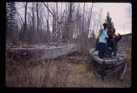
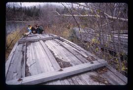
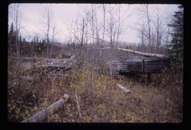
June 1979
Parte de J. Kent Sedgwick fonds
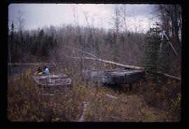
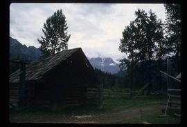
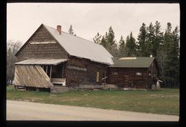
Image depicts the old community hall located somewhere in the Wistaria Provincial Park.