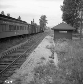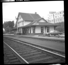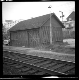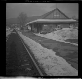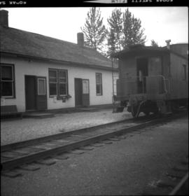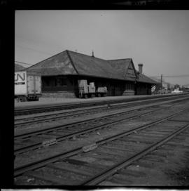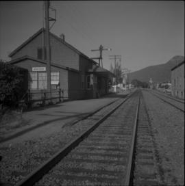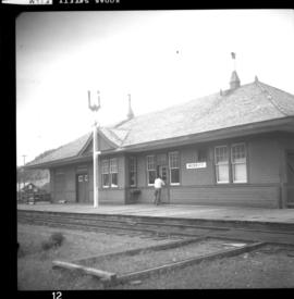
2013.6.36.1.007.047
·
Item
·
Oct. 1965
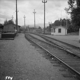
Part of David Davies Railway Collection
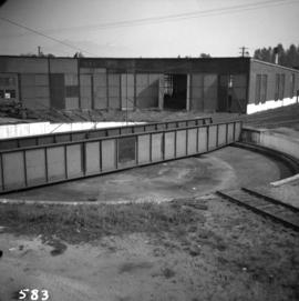
Photograph depicts Sirdar station belonging to the C.P.R. It is at the south end of Kootenay Lake and 11 miles north of Creston. There is a little used turntable behind the depot. The view is looking south.