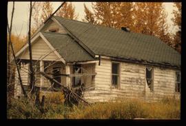
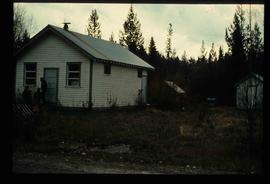
Image depicts a dilapidated house in Sinclair Mills, B.C.
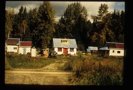
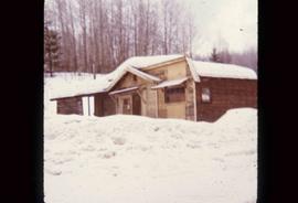
Image depicts a small house with brightly coloured door and window frames in Penny, B.C.
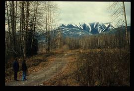
Image depicts mountains in the background and two unidentified individuals standing on a dirt road in the bottom left corner. The location is uncertain, likely Longworth, B.C.
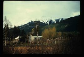
Image depicts a house surrounded by trees and a mountain in the background; it is most likely located somewhere in or near Longworth, B.C.
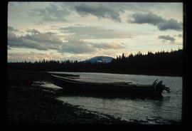
Image depicts a riverboat on the Fraser River, possibly in Longworth, B.C.
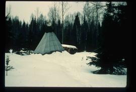
Image depicts what appears to be a teepee at an uncertain location.
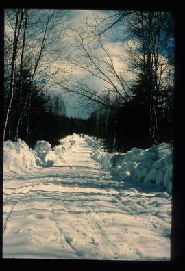
Image depicts a road covered in snow running through the woods at an uncertain location.
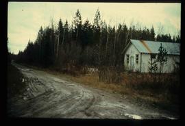
Image depicts a dirt road and a possibly abandoned building at an uncertain location.
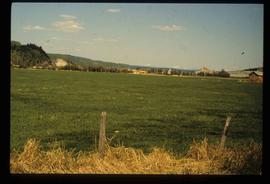
Image depicts a field in Giscome, B.C. On the right side of the image, in the background, is a grey strip that appears to be a mine, possibly the quarry at Eaglet Lake in Giscome, B.C. Map coordinates 54°03'52.9"N 122°22'10.0"W
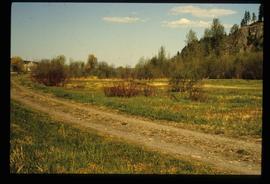
Image decpicts the old road to the townsite in Giscome, B.C. Map coordinates 54°04'19.7"N 122°22'04.7"W
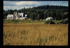
Image depicts a large, old and collapsing barn, as well as a nearby house of the dairy farm in Giscome, B.C. Map coordinates 54°03'53.3"N 122°21'22.6"W
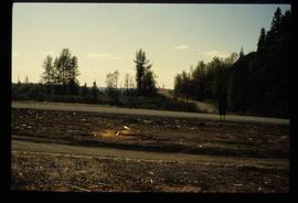
Image depicts the former location of employee houses on mill site in Giscome, B.C. Map coordinates 54°04'23.4"N 122°22'16.9"W
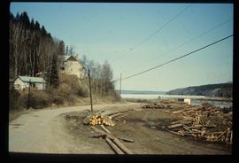
Image depicts the Giscome mill foreman's house on the hill, with Eaglet Lake in the background and numerous piles of logs in the foreground. Map coordinates 54°04'28.0"N 122°22'05.8"W
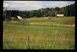
Image depicts several old buildings in a field, one of which has a caved-in roof, in Newlands, B.C. Map coordinates 54°06'28.2"N 122°12'01.0"W
Image depicts three people standing at the front door of a house at an uncertain location.
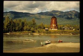
Image depicts several boats on what appears to be a river, and an old beehive burner in Penny, B.C.
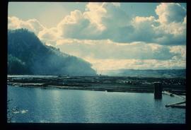
Image depicts numerous tree logs floating on a body of water. The location is uncertain, but is likely Eaglet Lake.
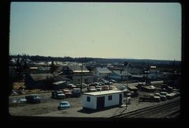
Image depicts the Giscome, B.C. town site with the Giscome railway station and the Giscome store in the center surrounded by vehicles. Map coordinates 54°04'18.5"N 122°21'57.7"W
File contains slides depicting places along the east line of the BC Railway.
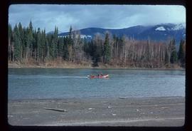
Image depicts a red boat on a river, possibly the Fraser, near Penny, B.C.
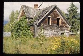
Image depicts an old, abandoned cabin with ivy growing up the side. The location is uncertain.
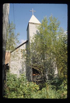
Image depicts the Catholic Church in Penny, B.C.
Image depicts an old building that was possibly once a gas station in the community of Newlands, B.C.
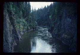
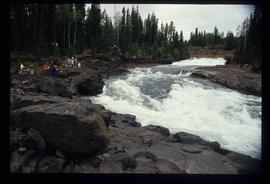
Image depicts what is possibly the Bowron River. The slide is simply labelled "Bowron Canyon."
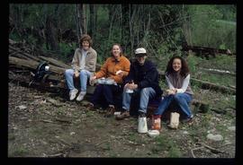
Image depicts four individuals sitting on a log, possibly somewhere near the Hansard Bridge, B.C. The individuals are UNBC faculty members Gail Fondahl, Tracey Summerville, Greg Halseth and an unidentified individual. The slide is labelled: "Hansard Bridge UNBC." Map coordinates 54°04'37.7"N 121°50'39.9"W
File contains slides depicting places along the Peace River.
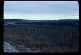
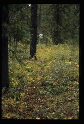
Image depicts a section of forest located somewhere in the Peace River Regional District of B.C.
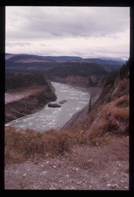
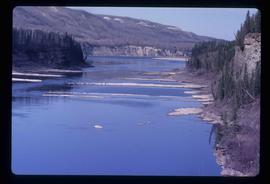
Image depicts the Peace River, possibly near Clayhurst or Hudson's Hope, B.C.
Image depicts the Peace River, possibly near Clayhurst or Hudson's Hope, B.C.
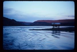
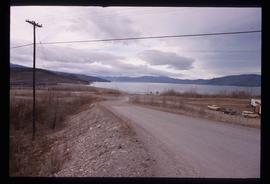
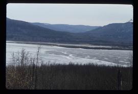
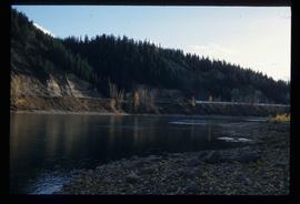
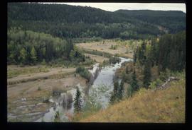
Image depicts what is possibly the Peace River.
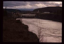
Image depicts a dam, possibly on the Peace River.
Image depicts a dam and a reservoir of water, possibly on the Peace River.
Image depicts a delta at Moberly Lake north of Chetwynd and south of Hudson's Hope, B.C.
Image depicts what is possibly the Peace River.
File contains slides depicting places in or near Pine Pass and along the Peace River.
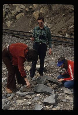
Image depicts three unidentified individuals examining rocks near a set of railway tracks at an uncertain location in the Peace River Region.
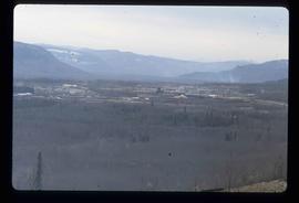
Image depicts a view of a saw mill in Chetwynd, B.C.
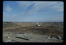
Image depicts a view of Fort St. John, B.C.
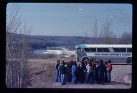
Image depicts a group of individuals and a bus with words that read: "Prince George Limousine & Charter." The river in the background is possibly the Peace River, and the location is possibly somewhere near Fort St. John, B.C.
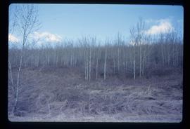
Image depicts a forest of bare trees, possibly somewhere near Fort St. John, B.C.
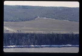
Image depicts what is possibly the Peace River running next to some farm land at an uncertain location.
File contains slides depicting the Ram Glacier.
File contains slides depicting places around and between Skagway, on the Alaska border, Atlin and Miles Canyon.
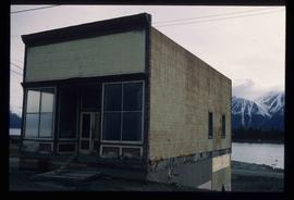
Image depicts an old building undergoing a restoration process, possibly in Atlin, B.C.
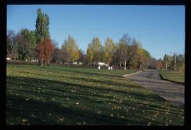
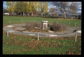
Image depicts the Lheidli T'enneh Burial Grounds in Fort George Park.
Image depicts the Lheidli T'enneh Burial Grounds in Fort George Park.
Image depicts the Fraser River at Paddlewheel park, with a train on the other side of the river, in Prince George B.C.
Image depicts the Cheslatta River.
Image depicts a few unknown individuals walking through the forest at Cheslatta.
Image depicts the Cheslatta River.
