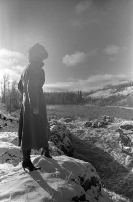
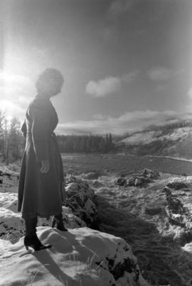
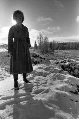
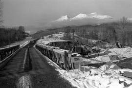
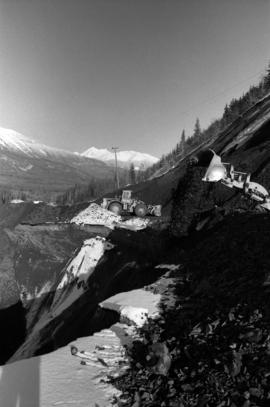
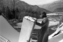
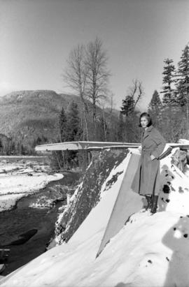
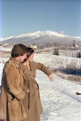
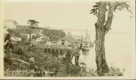
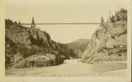
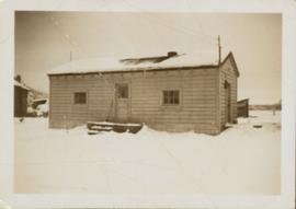
Photograph of a bridge along a rocky shoreline. Printed annotation reads: "Colloway Rapids Bridge Prince Rupert Highway W.W.W." Handwritten annotation on verso is heavily obscured by residual album paper and reads: "PO Box 777 Prince Rupert BC. [Illegible] Lal. This[??] is a piece of our new bridge which [obscured] neats our Island with the mainland. We have had picnics on the other side & [illegible] is open for [illegible] to [illegible]ve ours this side of the [obscured] our stuff to the little [obscured] patronize[??]. Mrs. [illegible] are back again in Rupert [obscured] Kamloops office closed down [obscured] was no chance of transfer. Have not."
Landscape with stumps, and roadbed with small (railroad?) track in foreground. River crosses midground, trees and sky in background. Men can be seen standing on far right on raised roadbed.
Photograph depicts winter landscape with track and logs in foreground. Bridge, trees and cleared land in background.
Railroad track, utility poles, field, small building and background hills are visible in image.
Unidentified man can be seen walking on railroad tracks on far right. Utility poles, field, small building and background hills are visible in image.
Photograph depicts Port Simpson in winter. Water and shoreline in foreground, hill in distance.
Handwritten photo caption below image reads: "Port Simpson".
Photograph depicts a forested mountain, the bottom half of which has been logged and terraced; beneath the mountain is a railroad track and parked vehickes including a schoolbus and two dumptrucks.
Handwritten annotation on verso reads: “Fairview Sodturning, Prince Rupert, 1/3/75”.
Snow on either side of highway stands at extreme height.
Photograph depicts crowd with individuals holding protest signs.
Forest in background, wooden logs lie in foreground.
Photograph depicts a view of Tutizzi Lake in the summer near Jack Baker's cabin.
Photograph depicts Iona Campagnolo looking over her shoulder with Peter Jones by a lake on highway 37.
Photograph depicts a damaged road and bridge from a washout on Highway 16 between Hazelton and Terrace.
Photograph depicts Iona Campagnolo watching the flooded Bulkley River near Moricetown.
Photograph depicts Iona Campagnolo standing by the flooded Bulkley River near Moricetown.
Photograph depicts Iona Campagnolo with the flooded Bulkley River near Moricetown in the background.
Photograph depicts damage to Highway 16 beside a bridge from the washout near Moricetown.
Photograph depicts a loader dumping dirt from a damaged road near Moricetown.
Photograph depicts Iona Campagnolo watching the river while standing by a damaged bridge near Moricetown.
Photograph depicts Iona Campagnolo standing on the river bank by a damaged bridge near Moricetown.
Photograph depicts Iona Campagnolo and Peter Jones surveying the damage to Highway 16 from a flood.
Photograph depicts Iona Campagnolo sitting by the Bulkley River near Moricetown.
Wide angle shot of North Beach with an unidentified solitary man in the distance. Annotation on recto reads: "North Beach QCI" and "The JD Allen Photo C."
Photo of entire ship building plant, including several vessels in the foreground. Hills are visible in the background. Annotation on recto reads: "Prince Rupert Ship Repair and Ship Building Plant. Prince Rupert BC. Frank E Kirby, William T Donnelly, Engineers. 17 Battery Place. NYC."
View of the road descending to the waterfront. Buildings and forested area are visible on either side of street. Mountains clear in the background.
Photograph of the SS "Princess Charlotte" on the open ocean. Metallic annotation on recto reads: "C.P.R.SS Princess Charlotte entered according to act of the parliament of Canada, in the year 1908[?]. by A. Shaw, at the Department of Agriculture." Printed annotation on verso reads "Shaw & Co., Photo. Victoria. B.C. (Empire Series)"
Gathering of tents in Vickersville with the harbour and mountains in the distance. Annotation on recto reads: "Vickersville Prince Rupert o/n[?] 1908."
Wide angled photograph of a sunset on the waterfront in Prince Rupert. Several buildings are silhouetted in the foreground. Annotation on recto: "Sunset, Prince Rupert, BC No. 4465."
Members of the Collison family casually fishing from a large dock. Handwritten annotation on verso reads: "Collison family fishing from dock (Portland[?] Canal) {Max Elsie Henry Will Arthur Herbert}."
Photograph of the Prince Rupert wharf. A small vessel is docked, and a large tree is in the foreground. Annotation on recto reads: "Prince Rupert Wharf & Harbor. Allen Photo."
Photograph of a stone monument atop a small hill on a forested shoreline. Annotation on recto reads: "Alexander Mackenzie Monument, Dean Channel, Near Ocean Falls, BC."
Photograph of a long bridge spanning two rock faces. A small settlement is visible on the lower right.
Overhead photograph of Giscome with the Eagle Lake Sawmill's beehive burner clearly visible in left foreground. Handwritten annotation in pen on verso reads: “Part of our community. school * ”
Side perspective of the teacherage located on Brown Ave. in Giscome. Photo taken in November after the first snow. Handwritten annotation in pen on verso reads: “Our House.”
Photo displays the height of the snow on the front porch of the Giscome teacherage after a blizzard.
Side perspective of Knox United Church in winter. Handwritten annotation in pen on verso reads: “The United Church.”
Photograph depicts village buildings along shore.
Handwritten annotation on verso reads: "Massett in Winter dress."
Handwritten annotation on verso reads: "Canyon on Nass River". Forest and mountains visible on shore in distance.
Photograph features a steep cliff across water, rocky shore in foreground.
Handwritten annotation on verso reads: "Up the 'Big Creek' at Kincolith B.C. Rock face called 'the place of echoes' by the Indian people."
Photograph depicts a bear at the garbage dump of the Gold River logging camp. Five other bears have retreated to the fire weed and blackened tree stumps.
Photograph depicts land clearance between Monashee Pass and Lumby, B.C.
Photograph depicts the view looking north from Diamond Head Lodge in Garibaldi Park, about 20 miles northeast of Squamish. Believed to be "Bookworm range" at 7910 ft.
Photograph depicts a baby seal at C.N. log drop at Cowichan Lake on Vancouver Island.
Image depicts the sky at either dusk or dawn, from an unknown location.
Image depicts a view of the Fraser-Nechako confluence from the Prince George cutbanks.
Image depicts a clearing in Prince George, B.C., possibly in the Pineview area.
Image depicts a clearing in Prince George, B.C.
Image depicts Tabor Mountain from the airport in Prince George, B.C.
Image depicts natural meadows, possibly east of Prince Georg, B.C.