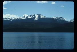
Image depicts a mountain and Takla Lake.
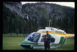
Image depicts a man standing in front of a helicopter; a waterfall is visible on the cliffs in the background. The slide itself is labelled "BC Parks Tour."
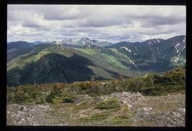
Image depicts a view of James Creek Valley.
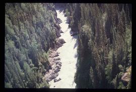
Image depicts a view of the Herrick River in what is possibly McGregor Canyon; the slide is simply labelled "McG Canyon."
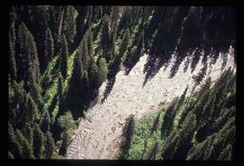
Image depicts a view of the Herrick River in what is possibly McGregor Canyon; the slide is simply labelled "McG above Canyon."
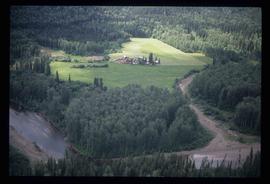
Image depicts an aerial view of what appears to be a small farm, possibly in the McGregor Canyon.
File contains slides depicting Greenwood, B.C.
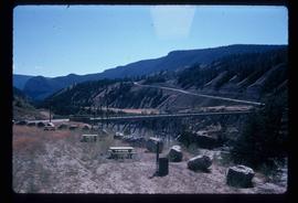
Image depicts a bridge over the Fraser River, located at Chimney Creek, somewhere south-west of Williams Lake, B.C.
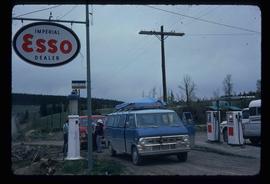
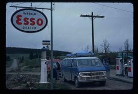
Image depicts the Esso gas station in Riske Creek, B.C.
Image depicts the Esso gas station in Riske Creek, B.C.
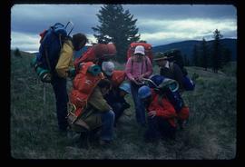
Image depicts a group of hikers examining something on the ground, most likely the small pink flower that is barely visible in the grass. The location is possibly near Riske Creek.
Image depicts several orange and blue tents, possibly somewhere near Riske Creek, B.C.
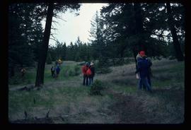
Image depicts a group of hikers and a dog walking down a hill.
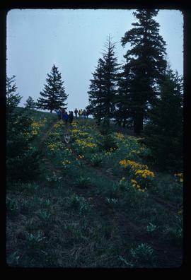
Image depicts a group of hikers on a hiking trail.
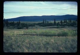
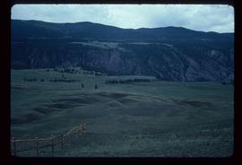
Image depicts a view of the landscape of the Chilcotin Wildlife Area.
File consists of photographs depicting the Salmon River Portage. Includes depictions of potential past mill sites, overgrown fields, and derelict buildings.
File consists of notes and reproductions relating to Kent Sedgwick's article, "Crossing the Divide: Northern Approaches to New Caledonia", which was published in vol. 12 of the Western Geography journal in 2002.
File consists of notes, reproductions, pamphlets, and postcards relating to the Peyto Glacier, situated in the Canadian Rockies in Banff National Park, Alberta. Includes: "Inland Waters Branch" handwritten letter to Kent Sedgwick (4 Sept. 1970); "Peyto Glacier general information" pamphlet prepared by the Inland Waters Directorate, Water Resources Branch of Environment Canada (1975); and photographs depicting a Peyto Glacier workshop with Kent Sedgwick and colleagues (1996) and personal photographs depicting Kent Sedgwick, his wife, and friends visiting and hiking Peyto Glacier (1990).
File consists of notes, clippings, and reproductions relating to Kent Sedgwick's guest lecture at the University of Northern British Columbia on Prince George. Includes: "Situating Prince George" handwritten lecture notes by Kent Sedgwick (2006) and "Geography of British Columbia" university syllabus (2003). Also includes a CD-R "Situating P.G". containing Kent Sedgwick's notes and photographs (Mar. 2006).
Series consists of maps collected by Kent Sedgwick covering historical and contemporary British Columbia. The maps include originals and photocopies that depict Fort George; Indian Reserve No.1; Anahim Lake, Bella Colla, Quesnel; Salmon Valley; the Cariboo district; the Peace River Country; Prince Rupert; Terrace; Bowron River; Giscome; Prince George; and Isle Pierre. The maps include tourism and recreation maps, pre-emptor maps, and resource maps created by the Province of British Columbia.
Item is a photocopy of Plan No. 1268 showing a subdivision of part of Indian Reserve no. 1 Lot 343 in the Cariboo District of British Columbia.
Item is an original map depicting east central British Columbia published by the Technical Supper Section Surveys and Resource Mapping Branch Ministry of Lands and Parks in Victoria, British Columbia.
Item is a photocopied 1923 pre-emptor's map of Fort George, published by the British Columbia Department of Lands.
Item is a photocopied 1930 pre-emptor's map of Fort George, published by the British Columbia Department of Lands.
Item is a photocopied 1944 map depicting Fort George, published by the British Columbia Department of Lands.
Item is an original 1950 pre-emptor's map of the Chilcotin region, published by the British Columbia Department of Lands and Forests.
Item is an original 1919 pre-emptor's map of Tete Jaune, published by the British Columbia Department of Lands.
Item is an original 1969 map depicting McLeod Lake in British Columbia, published by the Department of Energy, Mines and Resources in Ottawa.
Item is an original 1979 map depicting Taseko Lakes in British Columbia, published by the Province of British Columbia Ministry of Environment.
Item is an original 1982 map depicting the Bowron River in British Columbia, published by the Province of British Columbia Ministry of Environment.
Item is an original 1994 map titled "Welcome to Prince George" that includes the Prince George Heritage River Trails. The map was published by the City of Prince George.
Item is an original 1977 map depicting Cluculz Lake in British Columbia published by the Province of British Columbia Ministry of Environment. The map includes pen annotations.
Item is an original 1976 map depicting Prince George, published by the Province of British Columbia Ministry of the Environment.
Item is an original 1967 map depicting Prince George in British Columbia, published by the British Columbia Department of Lands, Forests and Water Resources. Map includes pen markings.
Item is an original map depicting West Lake pulp harvesting forest.
Item is an original 1952 map depicting Isle Pierre in British Columbia, published by the British Columbia Department of Lands and Forests. Map includes pen markings.
Item is an original 1954 map depicting Salmon Valley British Columbia, published by British Columbia Department of Lands and Forests. Map includes pen markings.
Item is an original 1982 map depicting Prince George British Columbia, published by the Department of Energy, Mines and Resources in Ottawa. Map includes pen markings.
Topographic map depicting regions, communities, unexplored areas, bodies of water, transport routes, and glaciers.
This fonds consists of material created and collected by Kent Sedgwick, author, professor, Prince George urban planner, and prominent local historian. This body of records documents Sedgwick’s research interests in the history and geography of the Central Interior of British Columbia. The fonds also reflects his work as a Prince George Senior City Planner, his involvement in local community organizations, and his teaching at the College of New Caledonia and the University of Northern British Columbia.
The fonds includes:
1) Photographs taken by Kent Sedgwick across British Columbia, predominantly in the Central Interior region;
2) Research subject files consisting of original research documentation and collected reference material, predominantly focusing on topics relating to local history, city planning, and geography in the Prince George area and the British Columbia Central Interior;
3) Documentation of Kent Sedgwick’s community involvement, including records created over the course of his work with the Prince George Heritage Commission, , the Alexander Mackenzie Heritage Trail Association, and other local organizations;
4) Writings, publications, and lectures written, edited, or conducted by Kent Sedgwick;
5) Professorial records consisting of lectures and material relating to Sedgwick’s teaching appointments at the College of New Caledonia and the University of Northern British Columbia;
6) Maps collected by Kent Sedgwick covering historical and contemporary British Columbia.
