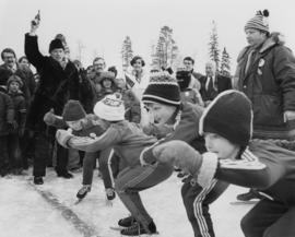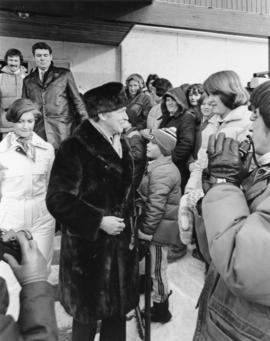
2009.6.13.49.0449
·
Pièce
·
February 1978
Fait partie de The Honourable Iona Campagnolo fonds
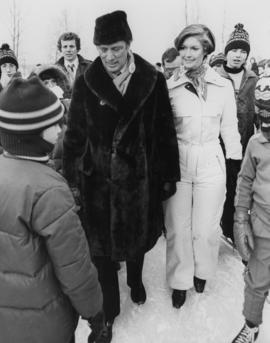
Photograph depicts Iona Campagnolo standing on ice with Pierre Trudeau at a children's speed skating event during the 1978 Northern BC winter games. Several unidentified children and adults surround them.