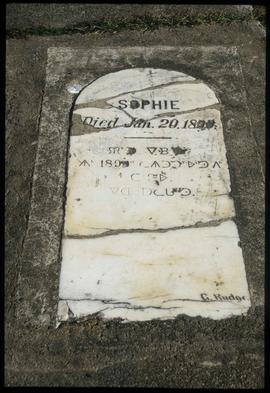
Image depicts a grave-marker in the Lheidli T'enneh Burial Grounds in Fort George Park.
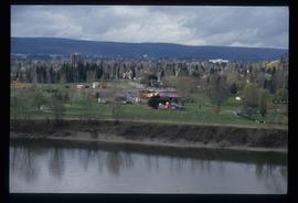
Image depicts a view of Prince George.
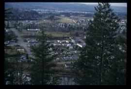
Image depicts a view of Prince George.
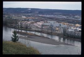
Image depicts a sawmill in Prince George, B.C.
Image depicts an unknown building under construction at the corner of 6th Avenue and Dominion Street in Prince George, B.C.
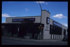
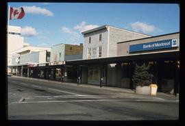
Image depicts the Bank of Montreal in Prince George, B.C.
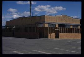
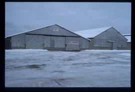
Image depicts a few storage sheds somewhere in Prince George, B.C.
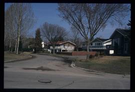
Image depicts a street of houses somewhere in Prince George, B.C.
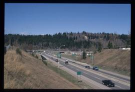
Image depicts a highway, possibly Highway 97, in Prince George, B.C.
Image depicts a street of businesses, possibly 3rd Avenue, in Prince George, B.C.
Image depicts the interior of the Ginter House in Prince George, B.C.
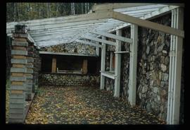
Image depicts the Ginter House in Prince George, B.C.
Image depicts a road near the Ginter House in Prince George, B.C.
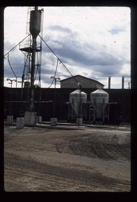
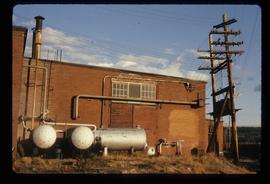
Image depicts what is possibly a train fuelling station at the GTP Roundhouse in Prince George, B.C.
Image depicts what is possibly a train fuelling station at the GTP Roundhouse in Prince George, B.C.
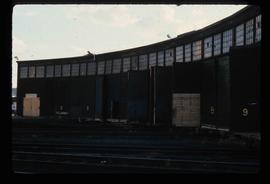
Image depicts the Grand Trunk Pacific railway roundhouse in Prince George, B.C.
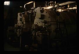
Image depicts machinery in the GTP roundhouse in Prince George, B.C.
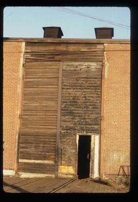
Image depicts the GTP roundhouse in Prince George, B.C.
Image depicts the GTP roundhouse in Prince George, B.C.
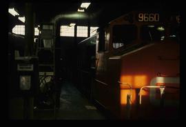
Image depicts a train in the interior of the GTP roundhouse in Prince George, B.C.
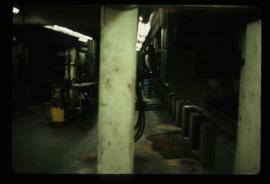
Image depicts the interior of the GTP roundhouse in Prince George, B.C.
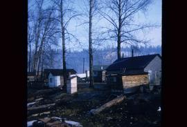
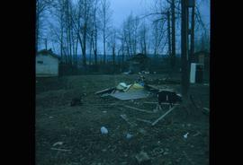
Image depicts a number of small houses at Island Cache.
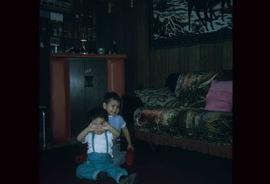
Image depicts two unknown children in a house somewhere in Island Cache.
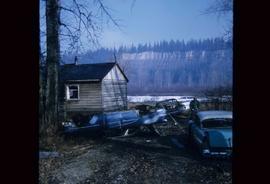
Image depicts several old, ruined cars and an unknown individual in Island Cache.
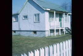
Image depicts a house in Island Cache.
Image depicts what appears to be an animal pen in Island Cache. There is a goat and numerous chickens in the image, as well as a pile of miscellaneous material.
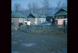
Image depicts a few houses in Island Cache. There are two unknown individuals present.
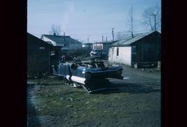
Image depicts a damaged, upturned car in Island Cache.
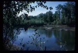
Image depicts what is possibly a small section of the Nechako River on Cottonwood Island.
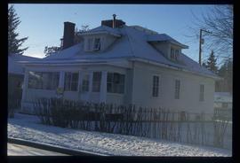
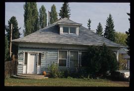
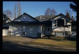
Image depicts 1461 Ingledew in Prince George, B.C.
Image depicts 1566 Ingledew Street in Prince George, B.C.
Image depicts 1480 Birch Street in Prince George, B.C.
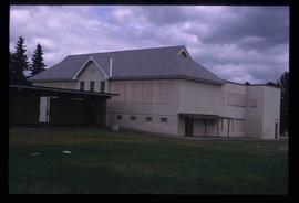
Image depicts an old, boarded up school, possibly the Central Fort George Traditional School in Prince George, B.C.
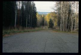
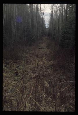
Image depicts a view of the south direction of the grade for the British Columbia Railway, which was formerly known as the Pacific Great Eastern until 1972. It is at an uncertain location, possibly near Woodpecker or Prince George.
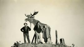
Photograph depicts (from left to right) Jack Lee, Gordon Wyness, and Lavender Monckton standing in front of a wooden moose. The wooden moose was located on top of a hill to the east of Prince George. The wooden moose was an advertisement for John A. Lestin's taxidermy business on Third Avenue in Prince George.
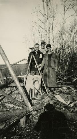
Photograph depicts (from left to right) Philip Monckton, Gordon Wyness, and Lavender Monckton at the Beaverly Geodetic Station, 7 miles west of Prince George. Surveying equipment (tripod, theodolite, and wire) are stationed at centre.
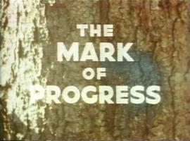
A VHS tape containing "The Mark of Progress" film created by the British Columbia Forest Service and first played for a live audience in 1959 in Prince George, BC.
File consists of a transcript of an oral history interview with Ivan Andersen.
File consists of a transcript of an oral history interview with Jeanne Anderson.
File consists of a transcript of an oral history interview with Ruth Cunningham, Lillian Coulling, and Evelyn Rebman. Also includes photocopies of Ruth Cunningham's personal records, such as photographs and newspaper clippings.
Item is a hand drawn and coloured map by the City of Prince George Planning Department depicting Hart Highway neighbourhood area existing land use in 1976.
City of Prince GeorgeItem is a hand drawn and coloured map by the City of Prince George Planning Department depicting the Blackburn neighbourhood development area's proposed sector plan in 1976.
Item is a hand drawn and coloured map by the City of Prince George Planning Department depicting the VLA neighbourhood proposed zoning in 1976.
Item is a hand drawn and coloured map by the City of Prince George Planning Department depicting public representations at the VLA neighbourhood zoning hearing that occurred on April 12, 1976.
Item is a hand drawn and coloured map by the City of Prince George Planning Department depicting zoning proposed by Prince George Alderman A. Stauble for the VLA neighbourhood.
Item is a hand drawn and coloured map by the City of Prince George Planning Department depicting existing land use for the Van Bow neighbourhood area.
Item is a hand drawn and coloured map by the City of Prince George Planning Department depicting existing zoning for the Van Bow neighbourhood area. Also includes two hand-drawn mylar overlays for the map; one showing "Opportunities & Constraints" such as housing age and condition and the other showing "Subdivision Activity" over decades of development in the Van Bow area.
Item is a map annotated in colour by the City of Prince George Planning Department depicting major residential development proposals from June 1975 to August 1977 in the City of Prince George. This map was drawn for the City of Prince George interim Community Plan.
Item is a map depicting proposed land use between 1978 and 2012 in the City of Prince George. This map was drawn for the City of Prince George Community Plan; this particular version of the map was displayed in City of Prince George council chambers through 1979.
Item is a map depicting the areas of spring and fall shadow in the Peden Hill neighbourhood in Prince George.


![Proposed Land Use 1978-2012, Official Community Plan, City of Prince George [1979 Amendment]](/uploads/r/northern-bc-archives-special-collections-1/c/e/d/ced2c18ae074ee79ace57d0454f038b5e09774ff682567e053093476af37c166/2023.5.1.14_-_1979_-_1978-2012_Official_Community_Plan_City_of_Prince_George_JPG85_tb_142.jpg)
