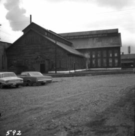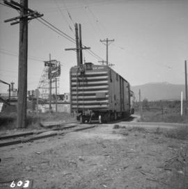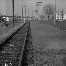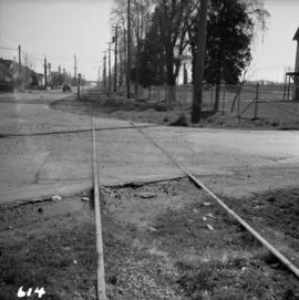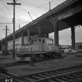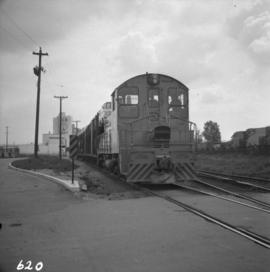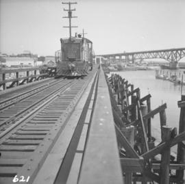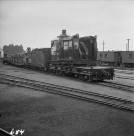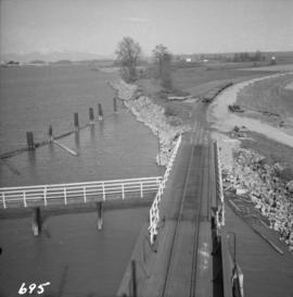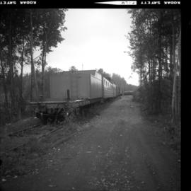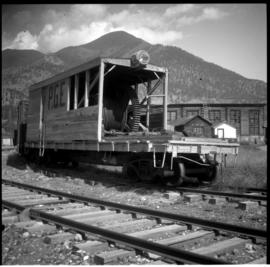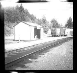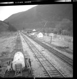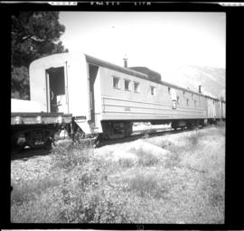
2013.6.36.1.007.123
·
Item
·
Mar. 1966
Part of David Davies Railway Collection
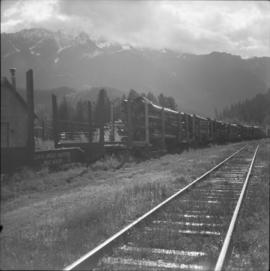
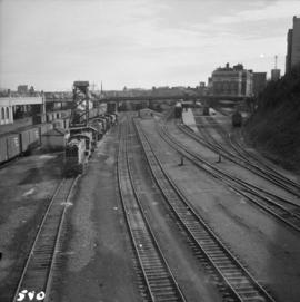
Photograph depicts the C.P.R. yards in Vancouver, just west of railway station in the downtown area. The view is looking east from Burrard St.