File consists of notes, clippings, and reproductions relating to sternwheelers. Includes material regarding Pacific Great Eastern sternwheelers on the Fraser River; the B.X. sternwheeler; Trelle Morrow's book "Sternwheelers on the Upper Fraser" published in 2009; and sternwheeler travel on the Fraser River. Includes: "The Pirates of South Fort George" clipped article from Today's Consumer magazine (April 1989).
File consists of notes and reproductions relating to the land surveys conducted between 1871 and 1876 to find a route across British Columbia for the Canadian Pacific Railway. File contains material regarding surveyor Charles Horetzky; surveyor Sir Sandford Fleming; surveyor Joseph Hunter and the Pine Pass; and the proposed routes for the Canadian Pacific Railway in British Columbia.
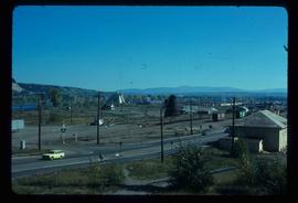
Image depicts the Canadian National Railway Yards in Prince George, B.C.
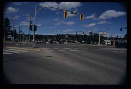
Image depicts the intersection of 5th Ave and Highway 97 looking northeast. Map coordinates 53°55'14.0"N 122°46'54.8"W
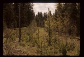
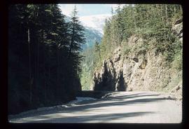
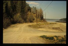
Image depicts the old, grown-over Cariboo Road at an uncertain location.
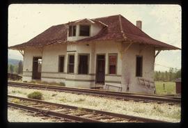
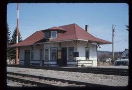
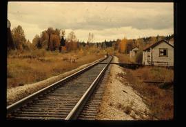
Image depicts the old Goat River Train Station in Goat River, B.C.
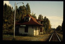
Image depicts the old Giscome Train Station in Giscome, B.C. It was demolished between 1976 and 1977.
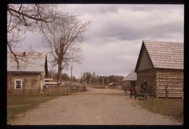
Image depicts the Cariboo Road passing through the Cottonwood House Historic Site.
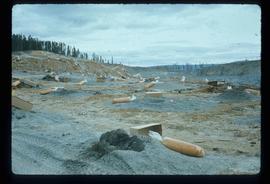
Image depicts numerous bags of blasting powder at a mine site somewhere in Granisle, B.C.
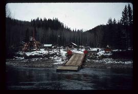
Image depicts the dock for ferries in Isle Pierre, B.C.
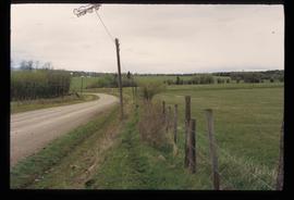
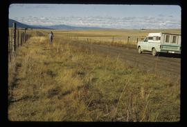
Image depicts a road and field somewhere near Grassy Plains, B.C.
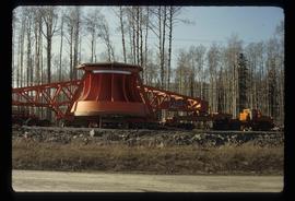
Image depicts a turbine on the back of an industrial vehicle, located somewhere in Fort St. John, B.C. The slide is labelled "Site one dam; turbine prop. (Russian.)"
Image depicts a boat on the Nechako Reservoir at Kenny Dam.
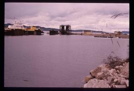
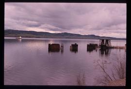
Image depicts a boat dock on the Nechako Reservoir at Kenny Dam.
Image depicts an unknown woman on a road in the upper Fraser Canyon.
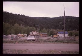
Image depicts a house and numerous rundown vehicles in Dog Creek, B.C.
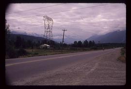
Image depicts Highway 99 north of Squamish, near Pemberton, B.C.
Image depicts Highway 99 near Pemberton, B.C.
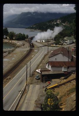
Image depicts a train in an uncertain location, though it is possibly Howe Sound in the background.
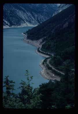
Image depicts an elevated view of a lake and a road located somewhere near Bralorne, B.C.
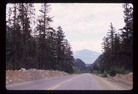
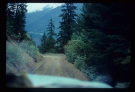
Image depicts a dirt road leading through a forest.
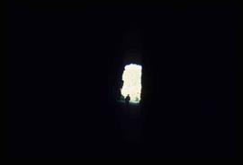
Image depicts an unknown figure standing inside a tunnel from the old Kettle Valley Rail Road.
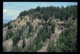
Image depicts the old Kettle Valley Rail Road.
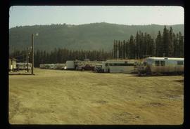
Image depicts numerous campers and other vehicles in Tumbler Ridge, B.C.
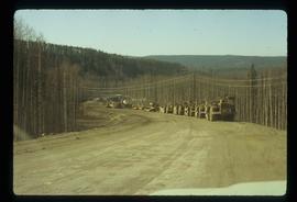
Image depicts a road somewhere in Tumbler Ridge, B.C. There are numerous construction vehicles present.
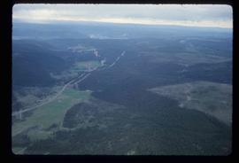
Image depicts an aerial view of Highway 97 just north of Williams Lake, B.C.
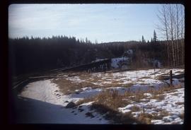
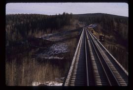
Image depicts a rail road bridge, possibly the Cottonwood Bridge, at an uncertain location.
Image depicts the Cottonwood Bridge.
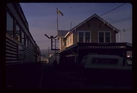
Image depicts the train station in Quesnel, B.C.
File contains slides depicting Highway 16 West, from Isle Pierre to Hazelton.
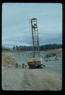
Image depicts a drill for blasting holes at a mine site somewhere in Granisle, B.C.
Image depicts a section of road running through the Bear River Gorge.
File contains slides depicting places along the east line of the BC Railway. Some are duplicates of the images found in the "East Line, Dome Creek - Lamming Mills - Misc" file.
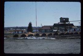
Image depicts railway tracks and buildings with a beehive burner on the left. The location is likely Sinclair Mills, B.C. Map coordinates 54°01'17.4"N 121°40'53.0"W
Image depicts the Upper Fraser Road running through Upper Fraser, B.C. A beehive burner is seen in the background on the left and the mill office is seen on the right. Map coordinates 54°07'05.7"N 121°56'38.9"W
Image depicts the new CN station in Giscome, B.C. Map coordinates 54°04'20.7"N 122°22'01.1"W
Image depicts the former location of the Giscome mill foreman's house on the hill with Eaglet Lake in the background. Map coordinates 54°04'28.0"N 122°22'05.8"W
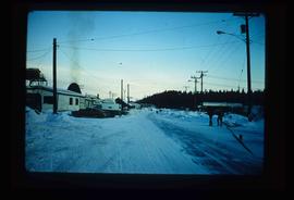
Image depicts a snowy road at an uncertain location.
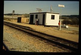
Image depicts the CN Station in Penny B.C.
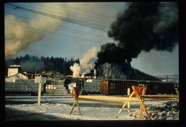
Image depicts several trains at the Giscome mill site in Giscome, B.C. Map coordinates 54°04'19.7"N 122°22'04.7"W
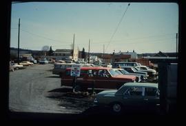
Image depicts a parking lot full of vehicles with the Giscome store in the background. Map coordinates 54°04'18.5"N 122°21'57.7"W
Image depicts the CN Station, with bundles of wood sitting near the tracks, in Giscome, B.C. Map coordinates 54°04'32.3"N 122°21'42.3"W
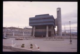
Image depicts the W.A.C. Bennett Dam in Hudson's Hope, B.C.
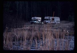
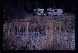
Image depicts two campers at an uncertain location, possibly somewhere near Meldrum Creek, B.C.
Image depicts two campers at an uncertain location, possibly somewhere near Meldrum Creek, B.C.
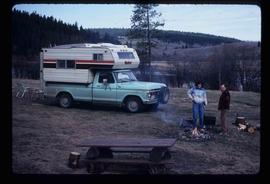
Image depicts a camper and a man and woman at an uncertain location, possibly somewhere near Meldrum Creek, B.C. The woman in the image is Sue Sedgwick.
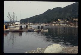
Image depicts numerous docked boats, as well as many houses on the shore in the background; located in Kitimat, B.C.
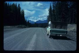
Image depicts a truck parked on the side of the Cassiar Highway.
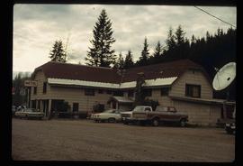
Image depicts a hotel in Likely, B.C.
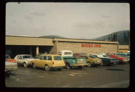
Image depicts numerous vehicles parked outside a building with a sign which reads "Mackenzie Centre;" it is possibly the mall in Mackenzie, B.C.
