File contains slides depicting places in Wyoming, USA.
File contains slides depicting views of numerous B.C. Mountains.
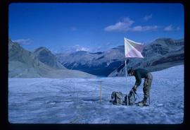
Image depicts an unidentified individual standing next to a marker and a stake at an uncertain location.
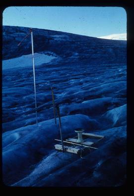
Image depicts objects, including a flag pole, that the slide labels as "survey equipment." The slide also places it as a "Peyto icefall," on the Peyto Galcier in the Banff National Park in Alberta, B.C.
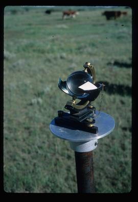
Image depicts a sunshine recorder at an uncertain location.
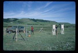
Image depicts two unidentified individuals and a van on a farm at an uncertain location, possibly a place called Cypress Hill, with an atmometer and a sunshine recorder.
File contains slides depicting logging and equipment. Most appear to be locations around Prince George.
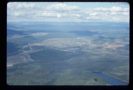
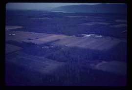
Image depicts an aerial view of areas that have been used for logging around Prince George, B.C.
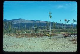
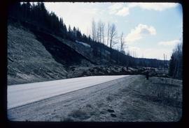
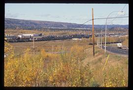
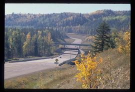
Image depicts a highway, and a section of mountain in the background which is bare due to clear-cut logging. It is possibly somewhere near Prince George, B.C.
Image depicts a logging area, and a section of mountain in the background which is bare due to clear-cut logging. The slide is also labelled "logging show." It is possibly somewhere near Prince George, B.C.
Image depicts logs being stripped of their bark at a saw mill in Prince George, B.C.
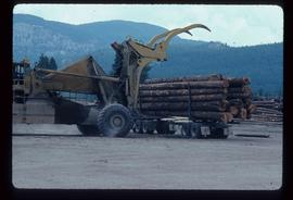
Image depicts a piece of heavy machinery lifting numerous logs off the back of a logging truck. It is likely located in Prince George, B.C.
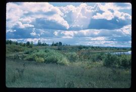
Image depicts the shore line and surrounding land of a lake or river at an airport, possibly in Prince George, B.C.
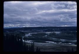
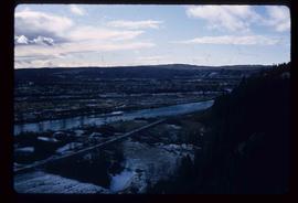
Image depicts a cutbank on the Nechako River in Prince George, B.C.
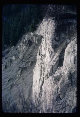
Image depicts an earth flow north of Stone Creek, B.C.
File contains slides depicting numerous recreational locations from various places in Canada.
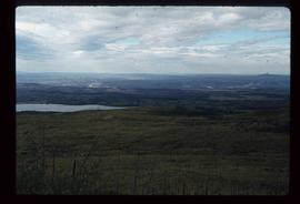
Image depicts Tabor Mountain in the distance, located in Prince George, B.C.
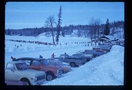
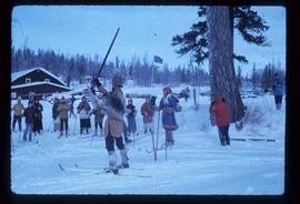
Image depicts a long line of people cross country skiing somewhere on Tabor Mountain in Prince George, B.C.
Image depicts a skier in a costume with a fake sword, somewhere on the Birchleg Ski route on Tabor Mountain in Prince George, B.C.
Image depicts the area surrounding Tabor Mountain. Prince George is slightly visible on the left side of the image in the background.
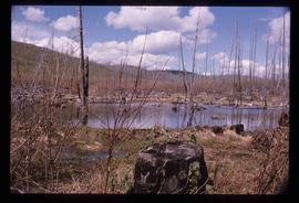
Image depicts a forest of dead trees on the slopes of Tabor Mountain in Prince George, B.C.
Image depicts a the Cottonwood Island Nature Park sign and map in Prince George, B.C.
File consists of a photocopy of "Note on the distribution of some of the more important trees of British Columbia" by George Dawson, circa 1880.
File consists of a pamphlet titled "The Fort Fraser-Fort George Bulletin Area" prepared by the Department of Lands, Forests, and Water Resources from the Province of British Columbia.
File consists of typed documents, letters, and reports relating to the Alexander Mackenzie voyageur route near Vanderhoof. Includes: "Nuxalk-Carrier Grease Trail / Alexander Mackenzie Voyageur route" management plan annual report from the Vanderhoof Forest District (Jan.-Dec. 1994) and "RE: Alexander Mackenzie Heritage Trail" letter to the regional managers of the Prince George Forest Region and Cariboo Forest Region and the Director of the Archaeology Branch from Greg Nicoholls, the chair of the Alexander Mackenzie Heritage Trail Coordinating Committee (19 Apr. 1995).
File consists of two original copies (one in English, one in French) of "Peyto Glacier: General Information" prepared by Kent Sedgwick and E.S. Hencock for Environment Canada. Includes attached supplementary map along with each publication. Also includes duplicate original maps in the file.
Image depicts a bulldozer and truck in an unknown location.
Image depicts the Fraser River from the vantage point of the cutbanks in Prince George, B.C.
Image depicts a view of Prince George from the cutbanks on the Nechako river.
Image depicts Prince George from the view of Peden Hill.
Image depicts a gauging station at Shelley, B.C.
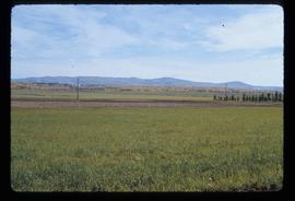
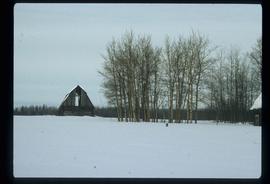
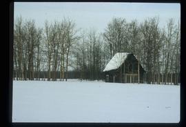
Image depicts an agricultural field, most likely near Prince George, B.C.
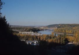
Image depicts a view of Prince George from Gunn Point in the L.C. Gunn Park looking north. Map coordinates 53°54'26.2"N 122°43'35.8"W.
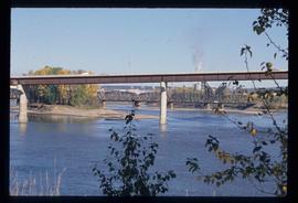
Image depicts the Fraser River and the Yellowhead and Grand Trunk Railway Bridges from LC Gunn Park. Map coordinates 53°54'30.7"N 122°43'27.0"W
Image depicts the Northwood pulpmill in Prince George B.C.
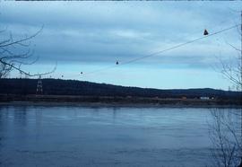
Image depicts the Foothills Bridge over the Nechako river on the Foothills Boulevard in Prince George, B.C. Map coordinates 53°56'52.5"N 122°48'59.9"W
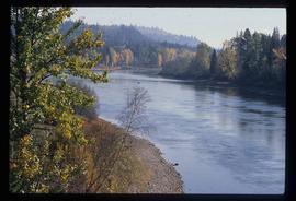
Image depicts a river, possibly the Nechako, in Prince George, B.C. Possibly taken from the Foothills Bridge.
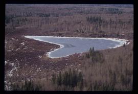
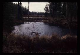
Image depicts Haldi Lake near Prince George, B.C.
Image depicts Eskers Park, near Prince George, B.C.
Image depicts a few trees, with what is possibly the Northwood Pulpmill in the background, in Prince George, B.C.
Image depicts Pineview on Buckhorn Lake Road, Prince George, B.C.
Image depicts Pineview on Buckhorn Lake Road, Prince George, B.C.
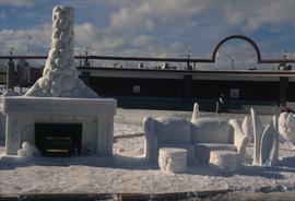
Image depicts a snow sculpted fire place and couch on a skating rink, possibly during the Winter City Conference, in Prince George, B.C. Taken at the Prince George Civic Center. Map coordinates 53°54'45.6"N 122°44'59.6"W
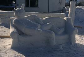
Image depicts a snow sculpture of the Mr. P.G. lounging on a couch, possibly during the Winter City Conference, in Prince George, B.C. Taken at the Prince George Civic Center. Map coordinates 53°54'45.6"N 122°44'59.6"W
Image depicts the Northwood Pulpmill in Prince George, B.C. taken from above the Nechako River looking east. Map coordinates 53°56'00.0"N 122°44'29.7"W
Image depicts a stand of trees in Bear Lake, B.C.
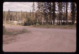
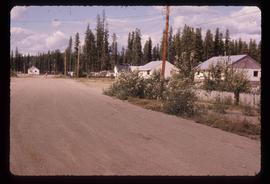
Image depicts some houses in Bear Lake, B.C.
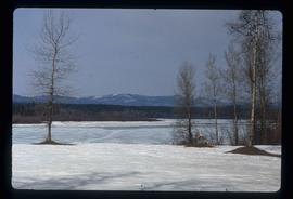
Image depicts McLeod Lake, with the view facing north-west.
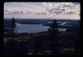
Image depicts Summit Lake.
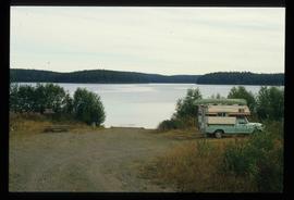
Image depicts the Fraser Lake.
