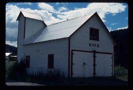
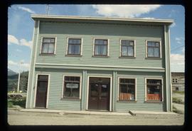
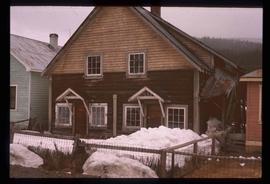
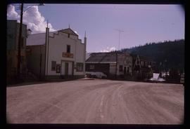
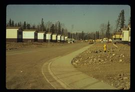
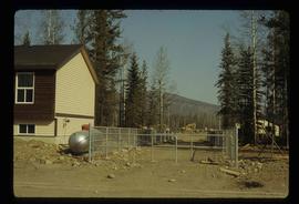
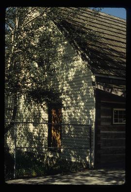
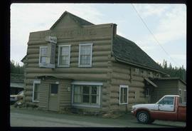
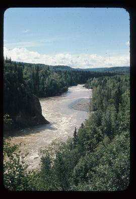
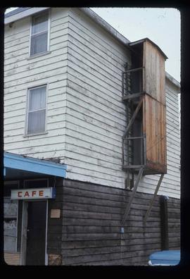
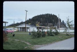
Image depicts a powerhouse in Prince George, B.C.
Image depicts the Prince George Hotel.
Image depicts a building in Wells, B.C. It possesses the letters "W.V.F.B." on it.
Photograph depicts the old hospital building in Wells. At the time the photo was taken, 1978, it was being used as an apartment building, and that is still its current use.
Image depicts many houses somewhere in Wells, B.C.
Image depicts Wells, B.C.
Image depicts an old pool hall, crowded with unknown individuals, somewhere in Wells, B.C.
Image depicts an old beer advertisement for Alexandria Lager, somewhere in Wells, B.C.
Image depicts a building somewhere in Wells, B.C. There is a sign in one window which reads "Lon Oddfrey Insurance Realty LTD."
Image depicts the interior of the Centennial Hall in Wells, B.C.
Image depicts a crowd of people outside the Wells Hotel in Wells, B.C.
Image depicts a row of houses in Wells, B.C.
Image depicts a duplex in Wells, B.C.
Image depicts a street in Wells, B.C. The Sunset Theatre is located on the left of the image, and the Jack O' Clubs Hotel is the building with the green roof on the right. The hotel burned down on February 14th in 1994.
Image depicts an old, boarded up school in Island Cache, B.C.
Image depicts a number of trailer homes in Tumbler Ridge, B.C.
Image depicts numerous campers and other vehicles in Tumbler Ridge, B.C.
Image depicts a construction area somewhere in Tumbler Ridge, B.C.
Image depicts Quadra Ventures Industrial Lodge in Tumbler Ridge, B.C.
Image depicts a snow-covered cabin and a mountain in the distance. It is located somewhere near Birken, B.C.
Image depicts a wood cabin with antlers and a moose head somewhere in Mud River, B.C.
Image depicts the Watson Mansion at Mile 108 of Highway 97. It was built by Captain Geoffrey Watson in 1904, and was burned down by a chimney fire in 1983.
Image depicts a view of the Dunkley Lumber Mill in Strathnaver, B.C.
Image depicts the BCR, as well as the Dunkley Lumber Mill, in Strathnaver, B.C.
Image depicts an aerial view of Williams Lake, B.C.
Image depicts an aerial view of a stretch of power lines somewhere near Williams Lake, B.C.
Image depicts a farm at an unknown location.
Image depicts a small foot bridge at an unknown location. The slide is simply labelled "Rudi's Bridge."
Image depicts the interior of an old convenience store; numerous unknown individuals are present. It is located at the 153 Mile House.
Image depicts what appears to be a Ranch at Soda Creek, B.C.
Image depicts the tombstone of T.J. Menefee in the cemetery in Soda Creek, B.C.
Image depicts a sawmill somewhere in Quesnel, B.C.
Image depicts the St. Joseph's Mission in Williams Lake, B.C.
Image depicts 153 Mile House.
Image depicts the Hudson Bay store in Quesnel, B.C. It was built in 1859.
Image depicts numerous unknown individuals at the Bohanon House in Quesnel, B.C.
Image depicts the old jail house in Soda Creek, B.C.
Image depicts the Lone Butte Hotel in Lone Butte, B.C.
Image depicts what appears to be an old mill at an unknown location.
Image depicts a totem pole in the historical village of 'Ksan near Hazelton, B.C.
Image depicts a group of people in the historical village of 'Ksan near Hazelton, B.C.
Image depicts a couple of old, collapsing buildings at the Nautley site in Fort Fraser, B.C.
Image depicts numerous totem poles in Kispiox, B.C.
Image depicts the Bulkley River running through Moricetown Canyon.
Image depicts Noralee, B.C.
Image depicts the Endako Hotel in Endako, B.C.
Image depicts a group of children playing a yard in Fraser Lake, B.C.
Image depicts the public library in Hazelton, B.C.
Image depicts the ferry in Isle Pierre, B.C.