Mostrar 5123 resultados

Archival description
3026 resultados com objetos digitais Mostrar resultados com objetos digitais
J. Kent Sedgwick fonds
2012.13 · Fundo · 1937-2011

This fonds consists of material created and collected by Kent Sedgwick, author, professor, Prince George urban planner, and prominent local historian. This body of records documents Sedgwick’s research interests in the history and geography of the Central Interior of British Columbia. The fonds also reflects his work as a Prince George Senior City Planner, his involvement in local community organizations, and his teaching at the College of New Caledonia and the University of Northern British Columbia.

The fonds includes:
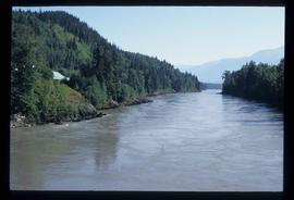
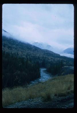
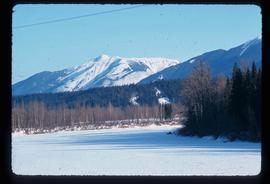
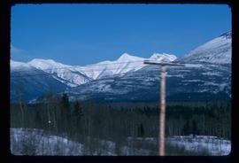
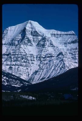
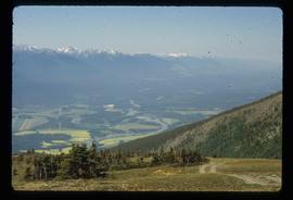
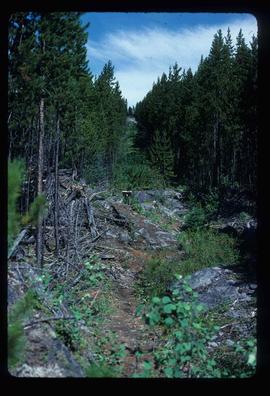
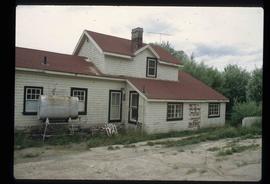
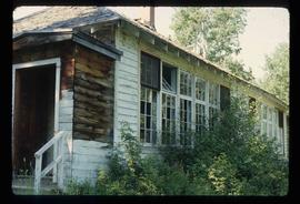
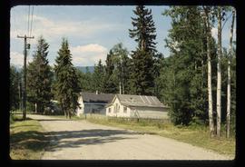
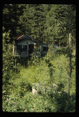
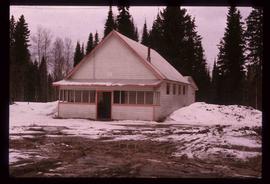
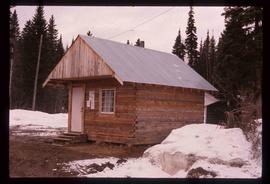
1) Photographs taken by Kent Sedgwick across British Columbia, predominantly in the Central Interior region;
2) Research subject files consisting of original research documentation and collected reference material, predominantly focusing on topics relating to local history, city planning, and geography in the Prince George area and the British Columbia Central Interior;
3) Documentation of Kent Sedgwick’s community involvement, including records created over the course of his work with the Prince George Heritage Commission, , the Alexander Mackenzie Heritage Trail Association, and other local organizations;
4) Writings, publications, and lectures written, edited, or conducted by Kent Sedgwick;
5) Professorial records consisting of lectures and material relating to Sedgwick’s teaching appointments at the College of New Caledonia and the University of Northern British Columbia;
6) Maps collected by Kent Sedgwick covering historical and contemporary British Columbia.

Sem título
Footbridge
2012.13.1.84.36 · Item · 1994
Parte de J. Kent Sedgwick fonds

Image depicts a narrow footbridge suspended over a river at an uncertain location.

Hospital Beach?
2012.13.1.84.43 · Item · 1994
Parte de J. Kent Sedgwick fonds

Image depicts what is possibly Hospital Beach in Kitimat, B.C. The facility in the background is possibly the Alcan smelter.

Rearguard Falls
2012.13.1.85.02 · Item · 1970
Parte de J. Kent Sedgwick fonds

Image depicts the Rearguard Falls in Rearguard Falls Provincial Park near Tête Jaune Cache along the Yellowhead Highway.

Yellowhead Pass?
2012.13.1.85.03 · Item · 1970
Parte de J. Kent Sedgwick fonds

Image depicts a view of what is possibly the Yellowhead Pass on the British Columbia-Alberta border, west of Jasper A.B.

McBride - Houses
2012.13.1.85.14 · Item · 1976
Parte de J. Kent Sedgwick fonds

Image depicts several houses in McBride, B.C. A mountain is visible in the background.

Valemount
2012.13.1.85.25 · Item · [1976?]
Parte de J. Kent Sedgwick fonds

Image depicts a view of Valemount, with numerous mountains in the background.

Ranch of the Vikings
2012.13.1.85.32 · Item · [1978?]
Parte de J. Kent Sedgwick fonds

Image depicts the ranch house of the Ranch of the Vikings, originally owned and operated by Bjorger Pettersen, a member of the Canadian Ski Hall of Fame, from 1970 until 1985. It is located somewhere west of McBride, B.C.

Portal Lake - Lily Pads
2012.13.1.85.38 · Item · Aug. 1978
Parte de J. Kent Sedgwick fonds

Image depicts numerous lily pads on the surface of Portal Lake, located near the Yellowhead Pass on the British Columbia-Alberta border, west of Jasper, A.B.

Origin of Yellowhead Highway
2012.13.1.85.49 · Item · Oct. 2004
Parte de J. Kent Sedgwick fonds

Image depicts an old road through the trees near Yellowhead Pass. The slide labels it as the origin of the Yellowhead highway.

Loos
2012.13.1.86.09 · Item · 1975
Parte de J. Kent Sedgwick fonds

Image depicts several buildings in the community of Loos, B.C.

Flooded Area
2012.13.1.87.002 · Item · [between 1975 and 1995]
Parte de J. Kent Sedgwick fonds

Image depicts a flooded area with an old sawdust pile in the background. Likely near McGregor, B.C.

Pass Lake Road and Upper Fraser Road Intersection
2012.13.1.87.004 · Item · [between 1975 and 1995]
Parte de J. Kent Sedgwick fonds

Image depicts several eighteen wheelers at the Pass Lake Road and Upper Fraser Road intersection with numerous houses and buildings in the background in McGregor, B.C. Map coordinates 54°04'38.1"N 121°50'00.1"W

Bunkhouse in Sinclair Mills
2012.13.1.87.006 · Item · [between 1975 and 1995]
Parte de J. Kent Sedgwick fonds

Image depicts bunkhouse, restaurant and store in Sinclair Mills, B.C. Map coordinates 54°01'17.4"N 121°40'53.0"W

Logs, Fraser River, and Mountains
2012.13.1.87.013 · Item · [between 1975 and 1995]
Parte de J. Kent Sedgwick fonds

Image depicts a pile of old logs on the bank of the Fraser River with mountains in the background. In the foreground, a set of railway tracks run through an uncertain location, likely Upper Fraser, B.C.