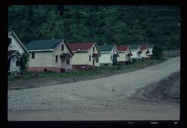
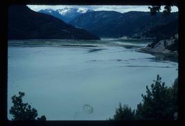
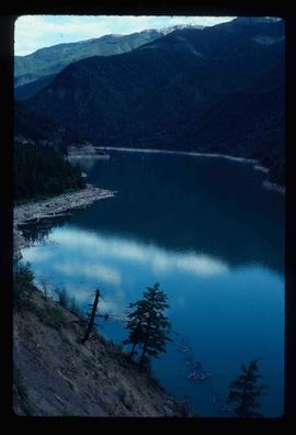
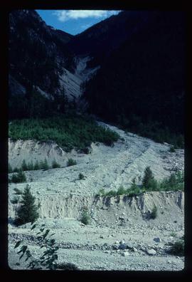
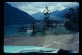
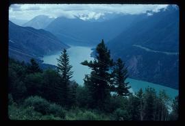
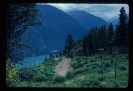
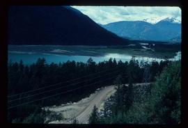
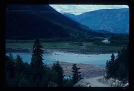
Mostrar 5005 resultados

Archival description
3026 resultados com objetos digitais Mostrar resultados com objetos digitais
Trip Preparation
2012.13.1.60.01 · Item · July 1973
Parte de J. Kent Sedgwick fonds

Image depicts a group of people preparing to depart on a trip. Location is uncertain, though it is possibly in Prince George, B.C.

Bralorne
2012.13.1.59.39 · Item · July 1980
Parte de J. Kent Sedgwick fonds

Image depicts an area of Barlone, B.C. surrounded by trees.

A Motel?
2012.13.1.59.29 · Item · July 1980
Parte de J. Kent Sedgwick fonds

Image depicts what appears to be a motel somewhere near Bralorne, B.C.

A Hotel
2012.13.1.59.27 · Item · July 1980
Parte de J. Kent Sedgwick fonds

Image depicts a hotel in what appears to be a small community, possibly an outlying area of Bralorne, B.C.

Lajoie Dam on the Bridge River
2012.13.1.59.25 · Item · July 1980
Parte de J. Kent Sedgwick fonds

Image depicts the Lajoie Dam on the Bridge River, upstream side, showing part of Downton Lake and, in the foreground, the spillway intake.

Terzaghi Dam
2012.13.1.59.22 · Item · July 1980
Parte de J. Kent Sedgwick fonds

Image depicts the Terzaghi Dam viewed from the downstream side near Bralorne B.C.

A Creek
2012.13.1.59.20 · Item · July 1980
Parte de J. Kent Sedgwick fonds

Image depicts a creek somewhere near Bralorne, B.C.

A Creek
2012.13.1.59.19 · Item · July 1980
Parte de J. Kent Sedgwick fonds

Image depicts a creek somewhere near Bralorne, B.C.

River of Logs
2012.13.1.59.16 · Item · July 1980
Parte de J. Kent Sedgwick fonds

Image depicts a river full of logs, somewhere near Bralorne, B.C.

Landslide?
2012.13.1.59.15 · Item · July 1980
Parte de J. Kent Sedgwick fonds

Image depicts what is possibly the remaining traces of a small land or rock slide; located somewhere near Bralorne, B.C.

Cliff Road - Overhang
2012.13.1.59.14 · Item · July 1980
Parte de J. Kent Sedgwick fonds

Image depicts a camper passing under an overhang as it drives along a narrow road near a cliff; located somewhere near Bralorne, B.C.

Valley?
2012.13.1.59.13 · Item · July 1980
Parte de J. Kent Sedgwick fonds

Image depicts a river running through a valley-like area somewhere near Bralorne, B.C.

Cliff Road
2012.13.1.59.12 · Item · July 1980
Parte de J. Kent Sedgwick fonds

Image depicts a camper parked on the side of a narrow road along a cliff as another car approaches; located somewhere near Bralorne, B.C.

River and Mountains
2012.13.1.59.11 · Item · July 1980
Parte de J. Kent Sedgwick fonds

Image depicts a river on the left of the image and a range of mountains in the distance, located somewhere near Bralorne, B.C.

Dirt Road through Forest
2012.13.1.59.08 · Item · July 1980
Parte de J. Kent Sedgwick fonds

Image depicts a dirt road leading through a forest with what appears to be an area for turning around at the end.

A Creek
2012.13.1.59.03 · Item · July 1980
Parte de J. Kent Sedgwick fonds

Image depicts a creek somewhere near Bralorne, B.C.

A Lake and a Road
2012.13.1.59.02 · Item · July 1980
Parte de J. Kent Sedgwick fonds

Image depicts an elevated view of a lake and a road located somewhere near Bralorne, B.C.

Terzaghi Dam on the Bridge River
2012.13.1.59.01 · Item · July 1980
Parte de J. Kent Sedgwick fonds

Image depicts the Terzaghi Dam on the Bridge River, looking from the upstream (reservoir) side located near Bralorne, B.C. The water is Carpenter Lake.

Bralorne
2012.13.1.059 · Subsérie · 1980
Parte de J. Kent Sedgwick fonds

File contains slides depicting locations in and around Bralorne, B.C.

Mud House?
2012.13.1.58.16 · Item · June 1987
Parte de J. Kent Sedgwick fonds

Image depicts what appears to be a mud house with grass and weeds growing on the roof at an uncertain location. An unknown woman is sitting on a bench outside of it.

Hat Creek Ranch - Road
2012.13.1.58.12 · Item · June 1987
Parte de J. Kent Sedgwick fonds

Image depicts the road leading to the historic Hat Creek Ranch site north of Ashcroft, B.C. Several individuals are sitting on the front porch of the Ranch house.