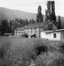
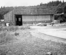
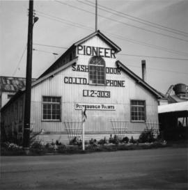
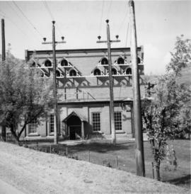
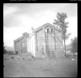
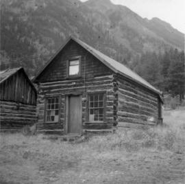
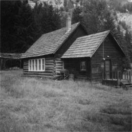
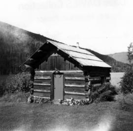
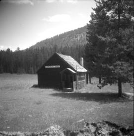
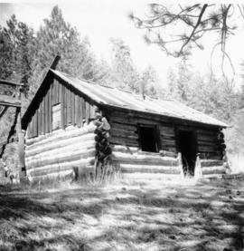
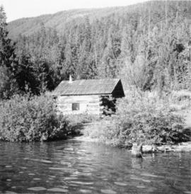
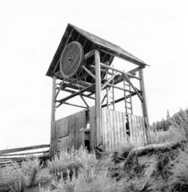
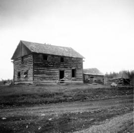
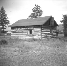
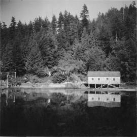
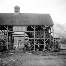
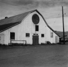
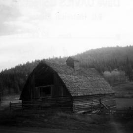
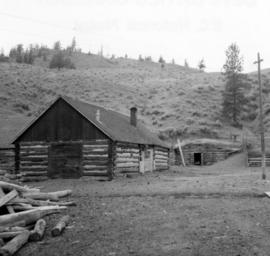
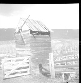
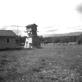
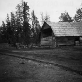
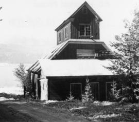
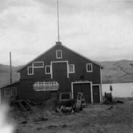
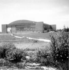
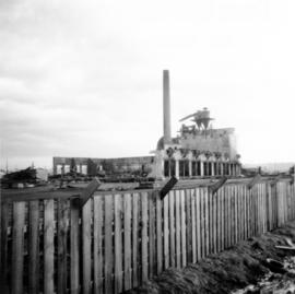
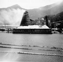
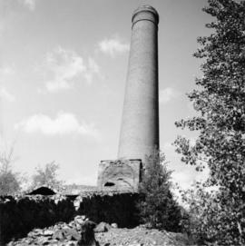
Photograph depicts one of various old lead and zinc mine buildings. Behind this building, on the foreshore, were a few men working on the reclamation of tailings and waste from the mine that was dumped in Kootenay Lake.
Photograph depicts an old tannery that appeared to be being slowly renovated after years of disuse.
Photograph depicts an RCAF Langer that was erected in 1942 as part of a flying boat base to counter possible Japanese sea and activities. It was used subsequently as whaling station premises.
Photograph depicts a Public Weigh Scale that was operated in Vancouver, on Main Street, opposite the CN Depot.
Photograph depicts Pioneer Sash and Door Company Ltd. Davies suggests that it may have been the same as S.C. Smith Ltd., which commenced operating in Vernon in 1883. In the early days, products were verandah posters, balusters, and fancy trim. Most products were sent to the U.S. Most of the fancy trim in early north Okanagan homes came from this plant. In 1972, its main output was cedar panelling for Florida.
Photograph depicts the Transformer Sub-Station of West Kootenay Power and Light Company, which is the only private power distribution company left in B.C. at the time. In was built in 1905 and was in operation by 1906. There were identical buildings made in Grand Forks and Phoenix, but they were demolished at the latter place.
Photograph depicts the rear view of Ridgewood Studio, Ltd., furnishers and furniture renovators. The wood shed was used for repair and repolishing of furniture.
Photograph depicts a CPR wharf building at Okanagan Landing, Okanagan Lake. It was presumably used as a covered slipway and as a store. It was was now boarded up and the rail track between Vernon and Okanagan Landing was removed in 1940.
Photograph depicts the demolished site of Nelson Laundries Ltd. The boiler in the foregorund was having tubes removed by a wrecker. The site was to be occupied by a Ford motor dealer.
Photograph depicts the Tofino Airport. It was a former wartime RCAF base built in 1942 for anti-Japanese air patrols. It was now a D.O.T controlled airport.
Photograph depicts buildings of the former Vancouver-Lansdale ferry. They appeared to now be used by Kingcome Navigation Co. as well as other businesses.
Photograph depicts an unknown building in B.C.
Photograph depicts West Coast Electric Ltd., an electric manufacturers and shop.
Photograph depicts a mill and beehive burner.
Photograph depicts a 120 ft. stack of the former B.C. Copper Company in Anaconda, on the outskirts of Greenwood. It was built sometime between 1903 and 1909 and replaced a steel stack built on 1900, immediately below it.
Photograph depicts all that remained of Lumberton Spruce Mills Ltd, circa 1912-1939.
File consists of documentary photographs taken by David Davies of log dwellings in British Columbia.
Photograph depicts Glenwalker Ranch. Visible are details of the log construction of a barn that was built between 1890 and 1910.
Photograph depicts a disused cabin that was perhaps abandoned in the late 1950's.
Photograph taken at Okangan Lake, on Alexis Beach. O'Keefe Ranch is located at the head of the lake. Visible is an old house that was used as a hay barn.
Photograph depicts a log cabin that was inhabited by an older aboriginal man who is visible in the window. The cabin was perhaps 100 years old.
Photograph depicts a new log house that was under construction.
Photograph depicts a cabin near Williams Lake. Its interior contained two old treadle sewing machines and a chesterfield. Davies had the impression it had not been inhabited for at least a decade.
Photograph depicts a log cabin in the KlinaKlina Valley.
Photograph depicts a school room or church on the road between Louis Creek and Adams Lake.
Photograph depicts an original trappers cabin on Staubert Lake.
Photograph depicts a disused rural school in the village of Cormi.
Photograph depicts a deserted cabin on the Indian Reserve above the PGE track at the northwest corner of Seton Lake. It probably had been occupied up until the last 5 years.
Photograph depicts a trappeers cabin on the northend of Trout Lake and Trout Lake City. It was maintained in good condition by present owners who valued its age.
File consists of documentary photographs taken by David Davies of agricultural buildings in British Columbia.
Photograph depicts a meat hanging shed on a ranch on Granby River Road, Grand Forks.
Photograph depicts an abandoned settlement.
Photograph depicts "Six Mile House Stable" on the west side of Okanagan Lake.
Photograph depicts a boathouse at an unknown location.
Photograph depicts a working undershot water wheel on Lardeau Creek River. It was the only water wheel seen in B.C. between 1963 and 1970. It was designed to drive an electricity generating set, but it was not coupelled to the set at the time.
Photograph depicts a former dance hall, now barn in the centre of Keremeos Centre. Only 2 buildings of the original village survived which included the dance hall and a hotel across the street.
Photograph depicts a derelict barn displaying frame construction.
Photograph depicts a barn located on the south side of Kokamee Creek, part of Kootenay Lake.
Photograph depicts a barn of the Glenwalker Ranch. Built in 1890-1910.
Photograph depicts the same person who owned the service station building electric generator house in Trout Lake. He also built an undershot water wheel that was driven by Lardeau Creek.
Photograph depicts a cattle barn of the Douglas Lake Ranch.
Photograph depicts a small barn that had just been built within the last 12 months.
Photograph depicts a barn located in Aspen Grove.
Photograph depicts a cattle shed located 3 miles east of Pavilion Lake, which is 15 miles northeast of Lillooet. It may have been a settler's cabin at one time.
Photograph depicts the yard at the Hat Creek Ranch. Hat Creek used to be a staging post on the Cariboo Road.
Photograph depicts a meat carcass windlass.
Photograph depicts a pump house on the Island Highway, north of Qualicum Beach, Vancouver Island.
Photograph depicts a barn attached to Watch Lake Lodge, a dude ranch.