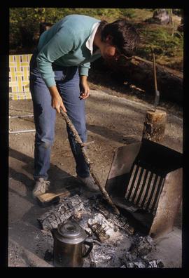
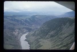
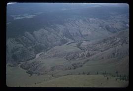
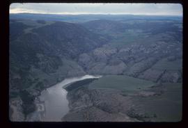
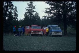
Image depicts a man named Dan Bashaw holding a sandwich and a cup of coffee at an uncertain location.
Image depicts Sue Sedgwick eating what appears to be cooked pork.
Image depicts Sue Sedgwick holding what appears to be cooked pork and onions.
Image depicts Sue Sedgwick cooking something in a fire pit.
Image depicts a view of the scenery at an uncertain location with numerous individuals, possibly tourists, present. It is possibly somewhere near the Fraser River.
Image depicts a view of the landscape in an uncertain location, though possibly somewhere near the Fraser River.
Image depicts what is possibly the Fraser River.
Image depicts a view of the landscape in an uncertain location.
Image depicts a view of the landscape in an uncertain location, though possibly somewhere near the Fraser River.
Image depicts ridge-like rock formations at an uncertain location, though possibly somewhere near the Fraser River.
Image depicts an eroding rock face; the river in the right corner of the image is possibly the Fraser River.
Image depicts an eroding rock face at an uncertain location.
Image depicts a spiky rock formation at an uncertain location.
Image depicts a view of a mountainous landscape at an uncertain location.
Image depicts what is possibly a section of the Fraser River.
Image depicts a view of a mountainous landscape, possibly near the Fraser River.
Image depicts an aerial view of a stretch of road near the Fraser Bridge.
Image depicts an aerial view of the Fraser River.
Image depicts a view of grooves in the land near the Fraser River, possibly caused by glaciers.
Image depicts an aerial view of the Fraser River.
Image depicts an aerial view of grooves in the land near the Fraser River, possibly caused by glaciers.
Image depicts an aerial view of the Fraser River.
Image depicts an aerial view of the land near the Fraser River. The Fraser River is barely visible on the right side of the image.
Image depicts an aerial view of the land near the Fraser River.
Image depicts an aerial view of a plateau near the Fraser River.
Image depicts an aerial view of a section of land, likely near the Fraser River, that is possibly either a slump or part of a mining operation. The slide is labelled "slump or mining."
Image depicts an aerial view of a plateau near the Fraser River.
Image depicts what is possibly the Chilcotin River.
Image depicts the hiking group packing their gear into two vans.
Image depicts the rolling hills of the Chilcotin Wildlife Area.
Image depicts a group of hikers hiking towards what is possibly the Chilcotin River.
Image depicts what is possibly the Chilcotin River.
Image depicts a hiker with a camera taking pictures.
Image depicts what is possibly the Chilcotin River.
Image depicts a view of the landscape of the Chilcotin Wildlife Area.
Image depicts what is possibly the Chilcotin River.
Image depicts four hikers putting on rain parkas.
Image depicts a view of the landscape of the Chilcotin Wildlife Area.
Image depicts a group of hikers on a hiking trail.
Image depicts a group of hikers and a dog walking down a hill.
Image depicts a view of the scenery, with three hikers in the bottom left corner of the image.
Image depicts what is possibly either the Fraser or Chilcotin River.
Image depicts a group of people hiking, possibly somewhere near Riske Creek, B.C.
Image depicts a group of hikers listening to a man, possibly a guide, speak. The location is possibly near Riske Creek, B.C.