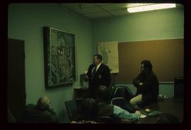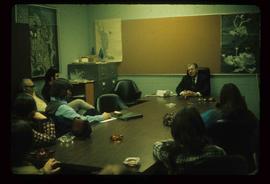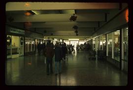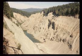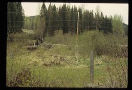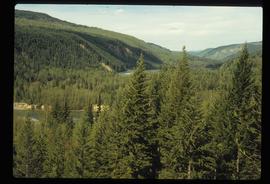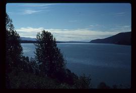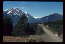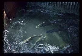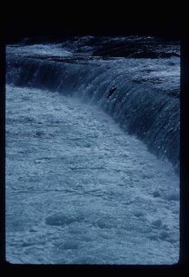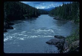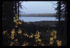
2012.13.1.70.09
·
Stuk
·
Oct. 1975
Part of J. Kent Sedgwick fonds
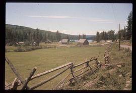
Image depicts the Mackenzie Reservoir in Mackenzie, B.C.