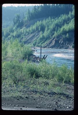
2012.13.1.29.04
·
Item
·
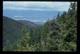
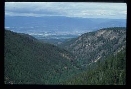
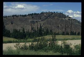
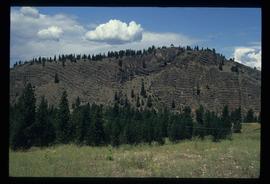
1991
Part of J. Kent Sedgwick fonds
Image depicts a view of Kettle Valley, with a bridge of the old Kettle Valley Rail Road visible on a slope.