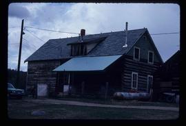
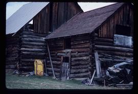
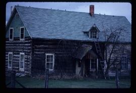
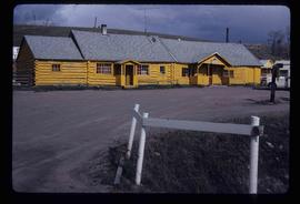
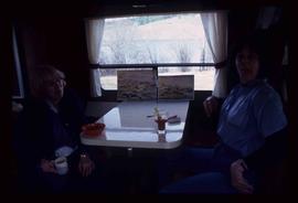
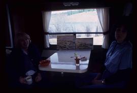
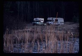
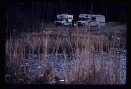
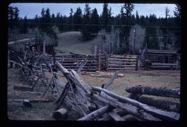
Image depicts fenced-in cattle on a farm or ranch in Meldrum Creek, B.C.
Image depicts a ranch house in Meldrum Creek, B.C.
Image depicts an old, collapsing shack in Meldrum Creek, B.C.
Image depicts a ranch house in Meldrum Creek, B.C.
Image depicts a yellow building in Meldrum Creek.
Image depicts two women at a table; the one on the right is possibly Sue Sedgwick. The image may have been taken in Meldrum Creek, B.C.
Image depicts two campers at an uncertain location, possibly somewhere near Meldrum Creek, B.C.
Image depicts a camper and a man and woman at an uncertain location, possibly somewhere near Meldrum Creek, B.C. The woman in the image is Sue Sedgwick.
File contains slides depicting places in and around the Kamloops and Lillooet regions.
Image depicts a ferry on a river, possibly the Fraser River in the Lillooet area.
Image depicts a river at an uncertain location in either the Lillooet or Kamloops area.
Image depicts Sue Sedgwick standing next to a camper.
Image depicts Sue Sedgwick standing on the bank of a river.
Image depicts the interior of an old, abandoned church at an uncertain location; possibly somewhere between Lillooet and Kamloops.
Image depicts what is possibly either the Fraser or the Thompson River.
Image depicts numerous grave markers at an uncertain location.
Image depicts a small graveyard at an uncertain location.
Image depicts an old and abandoned, collapsing church at an uncertain location.
Image depicts what is possibly either the Fraser or the Thompson River.
Image depicts a red carriage labelled in yellow "B.C. Express Co. No. 20." It is possibly located in Kamloops, B.C.
Image depicts a close-up of the carriage step. It is possibly located in Kamloops, B.C.
Image depicts a street, possibly in Kamloops, which has been closed for a Sunday morning Farmer's Market.
Image depicts the old Kamloops Residential School which operated until either 1977 or 1978 before becoming part of the Secwepemc Musem in 1982.
Image depicts a large crowd of people seated inside the St. Joseph's Roman Catholic Church in Kamloops, B.C.
Image depicts a representation of the crucified Christ in the St. Joseph's Roman Catholic Church in Kamloops, B.C.
Image depicts a tombstone, with the name and inscription written in what appears to be Chinese. It is most likely located somewhere in or near Kamloops, B.C.
Image depicts the old Kamloops Residential School which operated until either 1977 or 1978 before becoming part of the Secwepemc Musem in 1982.
Image depicts the St. Joseph's Roman Catholic Church, in Kamloops, B.C.
Image depicts the altar inside the St. Joseph's Roman Catholic Church in Kamloops, B.C.
File contains slides depicting places in Kitimat, B.C.
Image depicts three picnic tables, one of which is occupied with three unknown individuals, on a beach somewhere in Kitimat, B.C.
Image depicts two individuals seated at a picnic table while a third stands closer to the water on a beach somewhere in Kitimat, B.C. What appears to be a harbour can be seen on the water.
Image depicts the Alcan smelter in Kitimat, B.C.
Image depicts a view of the forest and lake around Kitimat, B.C.
Image depicts a large group of people enjoying the Mount Layton Hot springs in the Lakelse Lake Provincial Park north of Kitimat, B.C.
Image depicts numerous individuals passing in front of the Bay in Kitimat, B.C.
Image depicts the interior of a mall somewhere in Kitimat, B.C.
Image depicts numerous businesses, such as the Bay, Overwaitea, and Dairy Queen, somewhere in Kitimat, B.C.
Image depicts several buildings in Kitimat, with the Bay being the tall one on the left.
Image depicts a row of houses somewhere in Kitimat, B.C.
Image depicts numerous docked boats in Kitimat, B.C.
Image depicts numerous docked boats, as well as many houses on the shore in the background; located in Kitimat, B.C.
Image depicts a harbour in Kitimat, B.C.
Image depicts what is possibly the Alcan smelter in Kitimat, B.C.
Image depicts a view of the area surrounding Kitimat, with power-lines in the foreground the city partially visible in the distance.
Image depicts two men in the cabin of a boat somewhere near Kitimat, B.C.