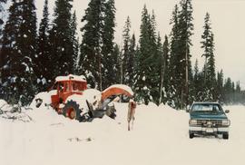
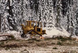
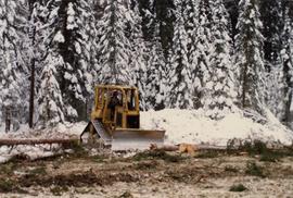
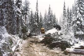
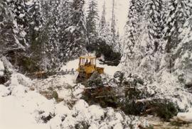
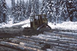
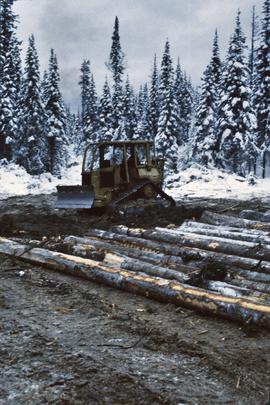
Item is a British Columbia Forest Cover Map, serial number 093J010. Includes full format forest cover labels.
Item is a British Columbia Forest Cover Map, serial number 093I001. Includes full format forest cover labels.
Item is a British Columbia Forest Cover Map, serial number 093J010. Includes full format forest cover labels.
Mylar map depicts the area encompassed by the Aleza Lake Research Forest.
Series consists of photographs created or accumulated by the Aleza Lake Research Forest Society.
Photographs are panoramas taken from the Churchill BC Forest Service Lookout, located at latitude 54°04' and longitude 122°16'. The photographs were bound together and include a transparent grid that was intended to be used for locating forest fires.
File consists of slides depicting the Aleza Lake Research Forest and area taken by John Revel.
Slide depicts a man operating heavy equipment in a forest, likely at the Aleza Lake Experiment Station.
Slide depicts a heavily forested area with fallen logs, likely at the Aleza Lake Experiment Station.
Slide depicts a sawmill in operation, likely located in the Upper Fraser area, with a pile of burning wood products and a beehive burner.
Slide depicts a black bear eating garbage by wooden outbuildings, possibly at the Aleza Lake Experiment Station.
Slide depicts the original wooden BC Forest Service sign for the Aleza Lake Forest Experiment Station.
Slide depicts a detonation in an area of cleared ground in a forested area, likely the Aleza Lake Experiment Station. Work may have been undertaken for roadbuilding activities at the Experiment Station.
Slide depicts a cleared area in a forest, likely at the Aleza Lake Experiment Station.
Slide depicts a burning building at the Aleza Lake Experiment Station on the date it was shut down by the BC Forest Service.
Slide depicts a cleared area at the Aleza Lake Experiment Station with plant regeneration.
Slide depicts a view of what is possibly the Upper Fraser River.
Slide depicts the Ranger Station at the Aleza Lake Experiment Station.
Slide depicts cleared ground and felled trees in a forested area, likely at the Aleza Lake Experiment Station.
Slide depicts a bulldozer clearing ground, likely at the Aleza Lake Experiment Station.
File consists of slides depicting the Aleza Lake Research Forest and area taken by Michael Jull.
Annotation on slide: "Horse-logging single-tree selection, Pass Lake SBSvk"
Annotation on slide: "BCMoF"
Annotation on slide: "CP 57 Lower Burnt, January 1992, Rubber-tired skidder on road, R-O-W in advance regen, Dawson Crk district"
Annotation on slide: "Harry Coates with Sw seedlings planted spring of 1991, SBSwk1, Note chlorotic seedlings"
No annotation on slide.
Annotation on slide: "Lucille Mt. from Mt. Teare, Susan Stevenson, July 1994"
No annotation on slide.
Annotation on slide: "Log skidding on main haul road, Fleet Creek Trial SS054, Jan. 1995"
Annotation on slide: "BC[?] advance regen. releasing in logged cedar block, ICHwk3"
No annotation on slide.
Annotation on slide: "[mostly illegible] Km 3 [?] pinker [?] cubic block"
Photograph depicts Harry Coates, Ted Baker, and John Revel at Aleza Lake Research Forest re-opening ceremony on July 9, 1992.
File consists of a photograph commemorating the signing of the first Aleza Lake Research Forest Management Plan. Front row, left to right: Ken Pendergast, BC Forest Service Prince George District Manager; Harry Coates, BCFS Forest Research Technician (1957-1993); John Revel, BCFS Silviculture Forester (1960-1993). Back row, left to right: Mike [?], BCFS Prince George Silviculture Manager; Henry Benskin, BCFS Research Branch; Michael Jull, BCFS Research Silviculturist, Prince George Region; Dan Lousier, BCFS Prince George Region Research Section Head; Brian Harding, Northwood Pulp & Timber Ltd. Woodlands Manager.
File consists of photographic prints and slides depicting partial-cutting and select logging during the EP 1162 Summit Lake research project.
Annotation on photograph verso: "July-Aug. 1991, View of Summit Lake EP 1162. Area from top of Teapot Mountain, looking east. Trial area is east of Crooked River, north of Caine Creek [Forest Service] Road, south of gravel pit (on right)".
Annotation on photograph verso: "Summit Lake Trial EP 1162, Winter 1991/1992"
Annotation on photograph verso: "D6 grapple skidder used for road development only. 27/12/91. Summit Lake Selection Trial"
Annotation on photograph verso: "View SE from Jtn of A Road and Main Road. Uncut stand on left; selection logging virtually complete in centre and right. 15/1/92. Summit Lake Selection Trial"
Annotation on photograph verso: "View from Jtn of A Road and Main Road to NE. Pre-logging. 15/1/92. Summit Lake Selection Trial"
Annotation on photograph verso: "South of plot 27, N of 18, 20. 15/1/92. Post-logging. Summit Lake Selection Trial"
Annotation on photograph verso: "View south of unit 27 Post-logging. 15/1/92. Summit Lake Selection Trial"
Annotation on photograph verso: "South of plots 27, 21. 15/1/92. (Post-logging). Summit Lake Selection Trial"
Annotation on photograph verso: "D-4 tracked skidder. 15/1/92. Summit Lake Selection Trial"
Annotation on photograph verso: D-4 tracked skidder at "Start of B Road. 15/1/92. Summit Lake Selection Trial"
Annotation on photograph verso: "D-4 tracked skidder at Start of B Road. 15/1/92. Summit Lake Selection Trial"
Annotation on slide: "Summit Lake D4H highdrive"