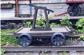
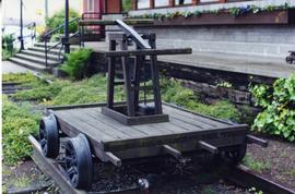
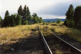
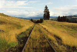
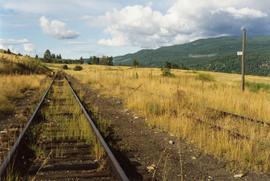
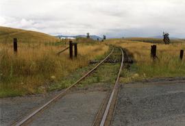
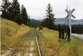
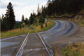
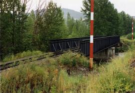
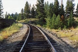
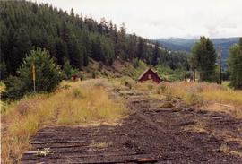
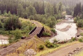
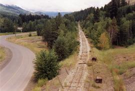
2013.6.36.1.151.11
·
Item
·
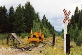
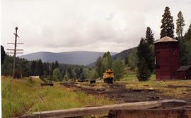
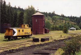
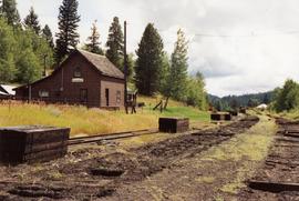
Aug. 2002
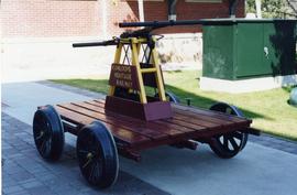
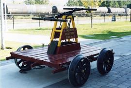
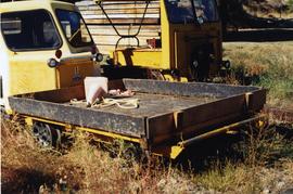
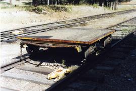
Part of David Davies Railway Collection
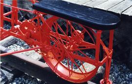
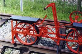
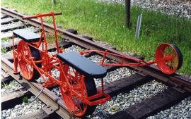
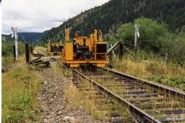
Photograph depicts a pump car that was property of Kamloops Heritage Railway. Viewed at the downtown CNR station in Kamloops.