2005.3.51
·
Item
·
[ca. 1945]
Part of John Hart Highway Photograph Collection
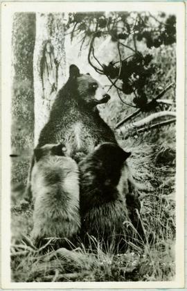
Handwritten caption below this photo reads: "Bought in Picture Prince George". Photograph depicts a mother grizzly bear standing on her hind legs against tree, so that her facial profile is visible. Two cubs stand on hind legs facing and leaning against her.