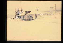
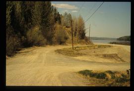
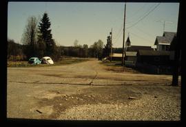
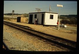
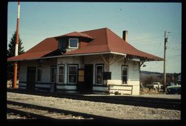
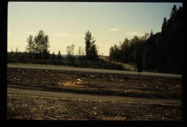
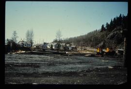
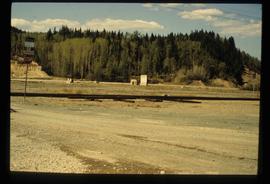
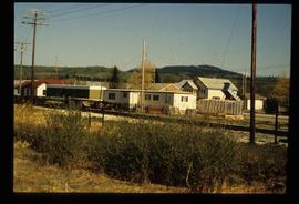
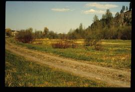
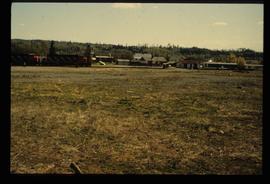
File consists of notes and reproductions relating to the Penny station. Also includes photographs depicting the Penny train station (1980?).
File consists notes and reproductions relating to the Dunster station and Mcbride station. Includes: "Re: Dunster Station - Grants, etc". typescript letter from Derek Trimmer, Heritage Advisory Committee, to Karen Craigue, Dunster Community Association (21 Apr. 1988) and "Proposal for the Acquisition, Restoration and use of the Dunster C.N.R. Station" typescript document prepared by Heritage Committee of Dunster Community Association (Feb. 1986). Also includes a photograph depicting the Dunster station (1980?).
File consists of notes and reproductions relating to townsites along the Grand Trunk Pacific Railway. Includes material regarding townsite planning for McBride, Willow River, Prince George, Terrace, Prince Rupert, and South Hazelton.
File consists of notes and reproductions relating to the land surveys conducted between 1871 and 1876 to find a route across British Columbia for the Canadian Pacific Railway. File contains material regarding surveyor Charles Horetzky; surveyor Sir Sandford Fleming; surveyor Joseph Hunter and the Pine Pass; and the proposed routes for the Canadian Pacific Railway in British Columbia.
File consists of notes and reproductions relating to a presentation on the Grand Trunk Pacific Railway conducted by Kent Sedgwick. Includes a CD titled "GTP Talk" containing a recording of Kent Sedgwick's presentation on the Grand Trunk Pacific (Oct. 2010).
File consists of notes, clippings, and reproductions relating to the Grand Trunk Pacific Railway survey and construction. Includes: "70 years of Rail!" special edition of the Prince George Citizen newspaper (27 Jan. 1984). Includes photographs depicting the Prince George roundhouse in its original location and various trains surrounding it.
File consists of notes, clippings, and reproductions relating to a failed tunnel build for the Grand Trunk Pacific Railway line between McBride and Goat River and a potential homestead on the land surrounding the tunnel. The land was later owned by Russ Purvis of Dunster in 2006.
File consists of notes and reproductions relating to the Canadian Northern Railway. File contains material regarding the CNR railway station at Boston Bar; the community and railway stop at Basque; development of the CNR; and the CNR in Lucerne, British Columbia.
File consists of notes and reproductions relating to the Grand Trunk Pacific Railway. File contains material regarding mileages, railway stations, and lists of the GTP railway line stations.
File consists of notes, clippings, and reproductions relating to highway transportation in and around the Prince George area. Includes material regarding the Old Cariboo Highway; the Yellowhead Highway east; and Highway 97 north. Includes: "RE: Proposed Bridge at Isle Pierre" typescript letter from Kent Sedgwick to Ken Pedergast, District Manager (4 Oct. 1991) and "Year 2000 Calendar Bridges of BC" calendar for the year 2000 produced by Argentis (2000).
File consists of notes, clippings, and reproductions relating to sternwheelers. Includes material regarding Pacific Great Eastern sternwheelers on the Fraser River; the B.X. sternwheeler; Trelle Morrow's book "Sternwheelers on the Upper Fraser" published in 2009; and sternwheeler travel on the Fraser River. Includes: "The Pirates of South Fort George" clipped article from Today's Consumer magazine (April 1989).
File consists of notes and clippings relating to the Cariboo Road. The Cariboo Road (also called the Cariboo Wagon Road, the Great North Road or the Queen's Highway) was a project initiated in 1860 by the Governor of the Colony of British Columbia, James Douglas. The road stretched from Fort Yale to Barkerville, B.C. through hazardous canyon territory in the Interior of British Columbia.
File consists of notes and reproductions relating to Marcus Smith. Marcus Smith was a railway surveyor and in 1872 he was appointed as deputy to the Engineer-in-Chief of the Canadian Pacific Railway and took charge of British Columbia surveys between 1876-78. He worked as a surveyor for the CPR until 1886.
File consists of notes, clippings, and reproductions relating to the British Columbia Express Company. Barnard's Express, later known as the British Columbia Express Company or BX, was a pioneer transportation company that served the Cariboo and Fraser-Fort George regions in British Columbia, Canada from 1861 until 1921.
File consists of notes, clippings, and reproductions relating to ferry boat service in and around Prince George. Includes material regarding the Fraser River Fort George ferry; the Isle Pierre ferry; and the Miworth ferry. File also includes photographs depicting a building at Isle Pierre in the 1970s and the ferry crossing at Isle Pierre in 2005.
File consists of notes, clippings, and reproductions relating to the arrival of the railway in Fort George. Includes material on railway development and building of the railway in Fort George.
File consists of notes and reproductions relating to a brochure about the Fort George Railway and the "Little Prince" 24? gauge steam engine. Includes: "Fort George Railway" brochure prepared by Kent Sedgwick (May 1988); "Fort George Railway Society" typescript letter to George Finsterle from Kent Sedgwick (1 May 1989); and "Fraser-Fort George Regional Museum" brochure (1988).
File consists of a special edition of the Prince George Citizen newspaper titled "70 years of Rail!" (27 Jan. 1984).
File consists of a "BC Rail" special edition of the Prince George Citizen newspaper celebrating 75 years of railway (21 May 1987).
File includes calendars depicting historical Prince George that were published by the Fort George Museum. Includes the following calendars published by the Fraser-Fort George Museum: "1985 Calendar" (1985); "The arrival of the steel" (1983); "Transportation" (Jan 1986-June 1987); and "Prince George: old & new" (1980).
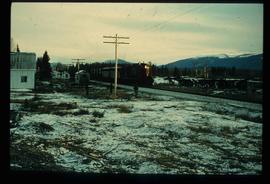
Image depicts a train and several unidentified individuals who appear to be waiting for it as it passes through Sinclair Mills, BC.
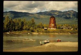
Image depicts several boats on what appears to be a river, and an old beehive burner in Penny, B.C.
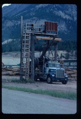
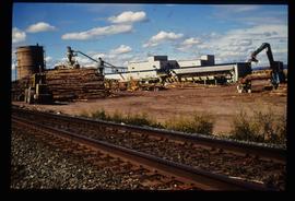
Image depicts a logging truck with its trailer being attached on top of it. A Crestbrook Forest Industries sawmill is located in the background.
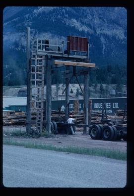
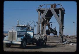
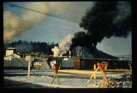
Image depicts a man attaching a logging trailer to a crane on a wooden structure to stack the trailer on the truck. A Crestbrook Forest Industries sawmill is located in the background.
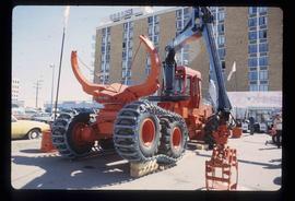
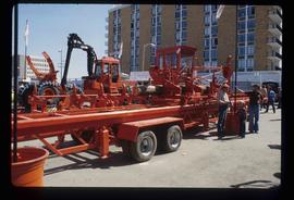
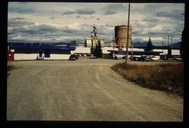
Image depicts several pieces of heavy machinery used in forestry. The Coast Inn of the North is seen in the background.
Image depicts several pieces of heavy machinery used in forestry. The Coast Inn of the North is seen in the background.
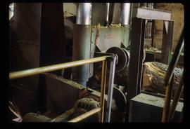
Image depicts machinery in a saw mill somewhere in Prince George, B.C.
Image depicts a trailer for a logging truck suspended off the ground by a wooden structure. This is used to load the trailer onto the back of the truck. The name on the truck says "Rormarniewich Trucking Ltd."
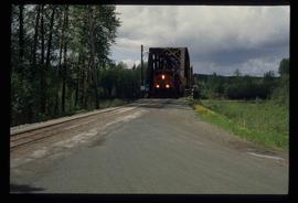
Image depicts a train on the Hansard Bridge across the Fraser River looking west. Map coordinates 54°04'37.7"N 121°50'39.9"W
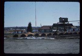
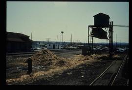
Image depicts the CN Station, with bundles of wood sitting near the tracks, in Giscome, B.C. Map coordinates 54°04'32.3"N 122°21'42.3"W
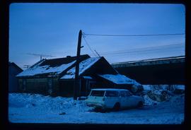
Image depicts a vehicle parked beside a small, wooden house in Upper Fraser, B.C. Map coordinates 54°07'05.7"N 121°56'38.9"W
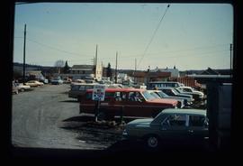
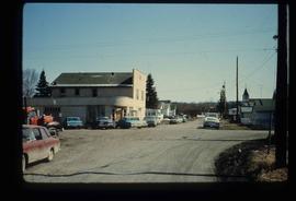
Image depicts a parking lot full of vehicles with the Giscome store in the background. Map coordinates 54°04'18.5"N 122°21'57.7"W
Image depicts a street in Giscome B.C. The Giscome Store is located on the left side of the image with the church in the background. Map coordinates 54°04'18.5"N 122°21'57.7"W
Image depicts what is possibly the CN Railway Station and tracks located in Giscome, B.C.
Image depicts the old CN station in Giscome, B.C. Map coordinates 54°04'20.7"N 122°22'01.1"W
Image depicts several trains at the Giscome mill site in Giscome, B.C. Map coordinates 54°04'19.7"N 122°22'04.7"W
Image depicts the former location of the Giscome mill foreman's house on the hill with Eaglet Lake in the background. Map coordinates 54°04'28.0"N 122°22'05.8"W
Image depicts a street in Giscome. The store was previously located on the left. The church is in the background. Map coordinates 54°04'18.5"N 122°21'57.7"W
Image depicts the new CN station in Giscome, B.C. Map coordinates 54°04'20.7"N 122°22'01.1"W
Image depicts the old CN station in Giscome, B.C. Map coordinates 54°04'20.7"N 122°22'01.1"W
Image depicts the former location of employee houses on mill site in Giscome, B.C. Map coordinates 54°04'23.4"N 122°22'16.9"W
Image depicts employee houses on mill site in Giscome, B.C. Tug boats are in the foreground on the right. Map coordinates 54°04'23.4"N 122°22'16.9"W
Image depicts the Giscome mill site in Giscome, B.C. The railroad tracks are in the foreground. Map coordinates 54°04'17.6"N 122°22'06.1"W
Image depicts the Giscome railway station and buildings remaining in townsite in Giscome, B.C. Map coordinates 54°04'18.0"N 122°22'04.7"W
Image decpicts the old road to the townsite in Giscome, B.C. Map coordinates 54°04'19.7"N 122°22'04.7"W
Image depicts the Giscome B.C. townsite from across the railroad tracks looking southeast. Map coordinates 54°04'19.7"N 122°22'04.7"W
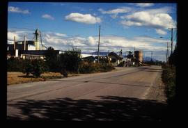
Image depicts the Upper Fraser Road running through Upper Fraser, B.C. A newer style round burner is seen in the background. Map coordinates 54°07'05.7"N 121°56'38.9"W
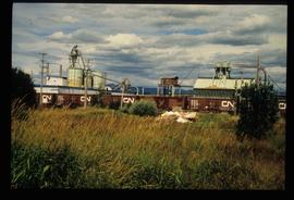
Image depicts the Upper Fraser mill yard with a CN train in Upper Fraser, B.C. Map coordinates 54°07'10.8"N 121°56'51.7"W
Image depicts the entrance to the Upper Fraser mill yard in Upper Fraser, B.C. Map coordinates 54°07'10.8"N 121°56'51.7"W
Image depicts the entrance to the Upper Fraser mill yard in Upper Fraser, B.C. Map coordinates 54°07'10.8"N 121°56'51.7"W
