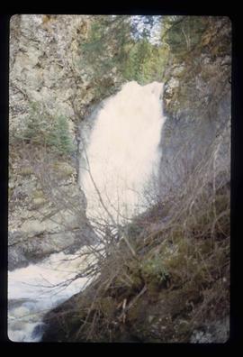
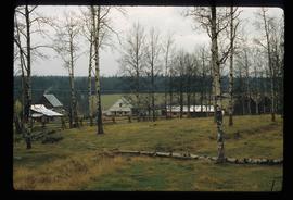
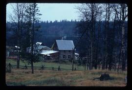
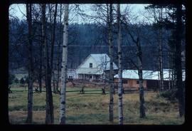
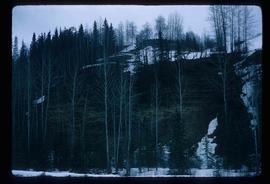
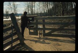
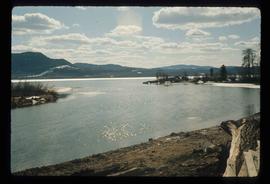
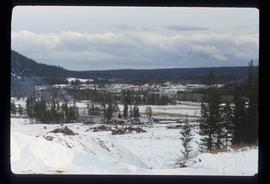
Image depicts 100 Mile House, B.C.
Image depicts the St. Joseph's Mission in Williams Lake, B.C.
Image depicts an unknown individual standing near what is most likely a slump slide at an uncertain location.
Image depicts an area of disturbed ground, most likely due to a landslide, at an unknown location.
Image depicts two unknown individuals standing near what is most likely a slump slide at an uncertain location.
Image depicts an area of disturbed ground, most likely due to a landslide, at an unknown location.
Image depicts the Hixon Falls in Hixon, B.C.
Image depicts an area of placer mining at Hixon Creek in Hixon, B.C.
Image depicts 153 Mile House.
Image depicts the Crosina Store at 153 Mile House.
Image depicts the wall of a chasm full of trees at an unknown location.
Image depicts a chasm full of trees at an unknown location.
Image depicts numerous buildings in Hendrix Lake, B.C.
Image depicts the Cottonwood Canyon.
Image depicts the Dunlevy Creek area somewhere near Dawson Creek, B.C. The slide is simply labelled "Dunlevy irrigation" for uncertain reasons.
Image depicts rail road tracks through a forest, as well as a river; located in Soda Creek, B.C.
Image depicts a forest and river in Soda Creek, B.C.
Image depicts the old jail house in Soda Creek, B.C.
Image depicts the old community hall in Soda Creek, B.C.
Image depicts an old building located somewhere are the Pickard farm north of Soda Creek, B.C.
Image depicts the Flying U Ranch at 70 Mile House, B.C.
Image depicts what appears to be an old mill at an unknown location.
Image depicts the Stellako River.
Image depicts a Fisherman wading in the Stellako River.
Image depicts a couple of salmon in the Stellako River.
Image depicts a view of Francois Lake.
Image depicts the Bulkley River near Moricetown, B.C.
Image depicts the Bulkley River.
Image depicts the Skeena River at Hazelton, B.C.
Image depicts Burns Lake, B.C.
Image depicts a section of forest in the Bulkley Valley.
Image depicts numerous unknown individuals searching through a fossil bed, possibly in the Bulkley Valley.
Image depicts a fossil bed, possibly somewhere in the Bulkley Valley.
Image depicts the Bulkley River near Moricetown, B.C.
Image depicts numerous unknown individuals standing by the Bulkley River near Moricetown, B.C.
Image depicts a few old buildings, as well as several unknown individuals somewhere in Moricetown, B.C.
Image depicts a beaver dam somewhere in Hazleton, B.C.
Image depicts an individual opening the gate at Nautley in Fort Fraser, B.C.
Image depicts the entrance of the Nautley River in Fort Fraser, B.C.
Image depicts an old, collapsing house at the Nautley site in Fort Fraser, B.C.