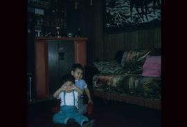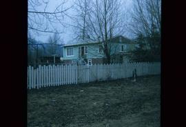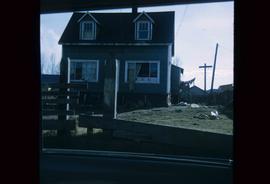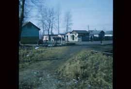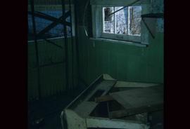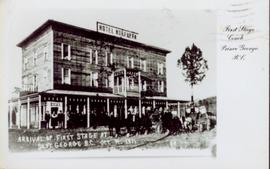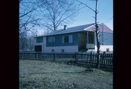
2012.13.1.22.14
·
Item
·
1970
Part of J. Kent Sedgwick fonds
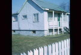
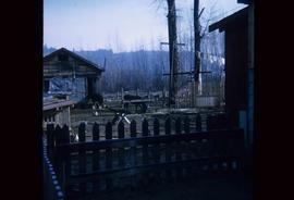
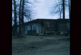
Image depicts a house at Island Cache.