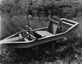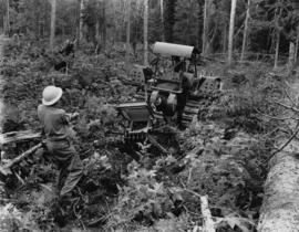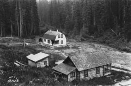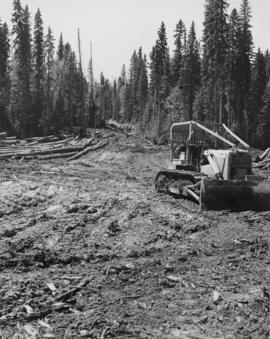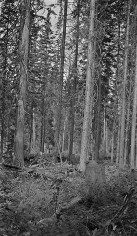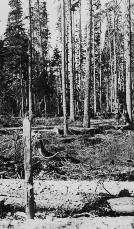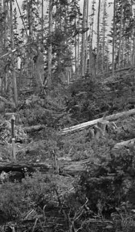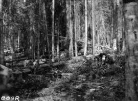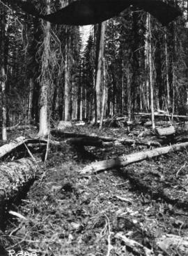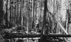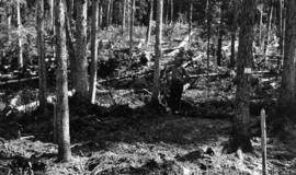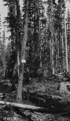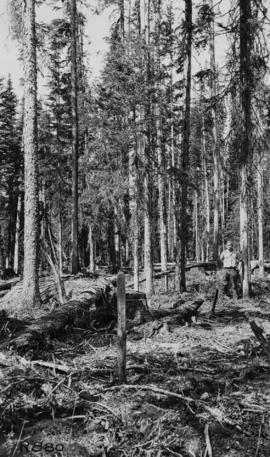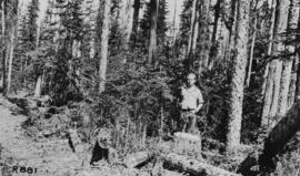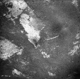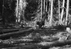
2007.1.25.6.10
·
Item
·
1925
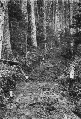
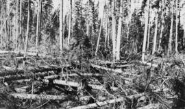
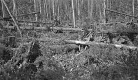
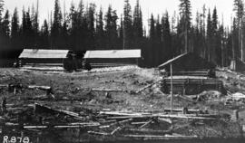
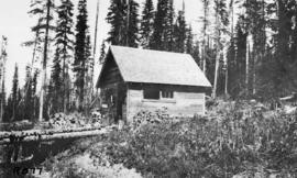
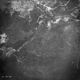
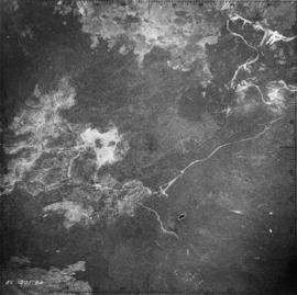
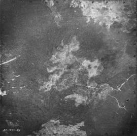
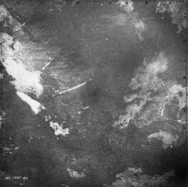
Part of Aleza Lake Research Forest fonds
Item is a copyprint reproduced from the British Columbia Forest Service photographic records held at BC Archives.