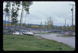
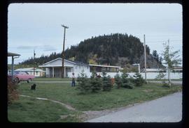
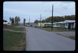
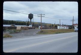
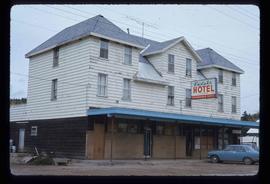
Image depicts the interior of the ferry at Southbank, B.C.
Image depicts Southbank, B.C.
Image depicts Danskin, B.C.
Image depicts Grassy Plains, B.C.
Image depicts the old community hall located somewhere in the Wistaria Provincial Park.
Image depicts a bridge in Hagwilget, B.C.
Image depicts a church on a hill in Hagwilget, B.C.
Image depicts the ferry in Isle Pierre, B.C.
Image depicts the dock for ferries in Isle Pierre, B.C.
Image depicts the historical village of 'Ksan in Hazelton, B.C.
Image depicts numerous totem poles in Kispiox, B.C.
Image depicts an old house in Kispiox, B.C.
Image depicts the public library in Hazelton, B.C.
Image depicts a couple of houses in Fraser Lake, B.C.
Image depicts a few buildings in Fraser Lake, B.C.
Image depicts a group of children playing a yard in Fraser Lake, B.C.
Image depicts a row of houses in Fraser Lake, B.C.
Image depicts a train passing through Endako, B.C.
Image depicts the Endako General Store in Endako, B.C.
Image depicts the Endako Hotel in Endako, B.C.
Image depicts Noralee, B.C.
Image depicts the 'Ksan historical village in Hazelton, B.C.
Image depicts the Bulkley River running through Moricetown Canyon.
Image depicts a view of Bulkley Valley.
Image depicts the ferry at Isle Pierre, B.C.
Image depicts a large gathering of people in the interior of a First Nations' longhouse located in the historical village of 'Ksan in Hazelton, B.C.
Image depicts the Inlander Hotel in Hazelton, B.C. The peak of the Rocher de Boule mountain is visible in the background.
Image depicts the entrance of the Fulton River.
Image depicts a number of people standing at what appears to be a farm fishery [?] on the Fulton River.
Image depicts numerous totem poles in Kispiox, B.C.
Image depicts Skeena Crossing, B.C.
Image depicts a general store in Quick, B.C.
Image depicts a couple of old, collapsing buildings at the Nautley site in Fort Fraser, B.C.
Image depicts an old, collapsing house at the Nautley site in Fort Fraser, B.C.
Image depicts a group of people in the historical village of 'Ksan near Hazelton, B.C.
Image depicts a few old buildings, as well as several unknown individuals somewhere in Moricetown, B.C.
Image depicts a barn with large, Harvestore Systems. It is possibly located on one of the many farms near Vanderhoof, B.C.
Image depicts a totem pole in the historical village of 'Ksan near Hazelton, B.C.
Image depicts the historical village of 'Ksan near Hazelton, B.C.
Image depicts a church located near Mapes, B.C.
Image depicts what appears to be an old mill at an unknown location.
Image depicts the Flying U Ranch at 70 Mile House, B.C.