2012.13.1.51.094
·
Item
·
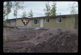
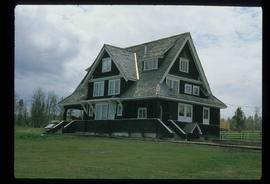
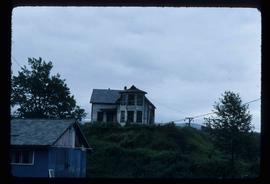
Aug. 1976
Parte de J. Kent Sedgwick fonds
Image depicts an old house in Kispiox, B.C.