2012.13.1.89.110
·
Pièce
·
1985
Fait partie de J. Kent Sedgwick fonds
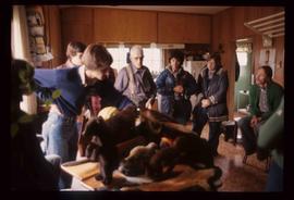
Image depicts the Oblates of Mary Immaculate Catholic Church in Aleza Lake, B.C. Map coordinates 54°07'08.2"N 122°02'00.0"W