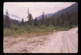
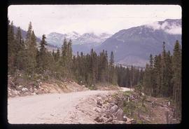
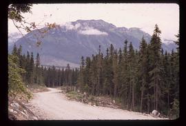
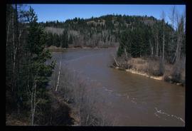
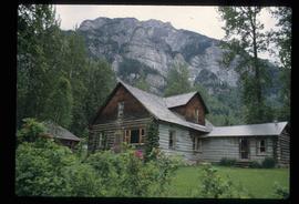
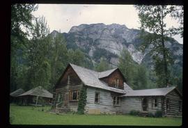
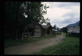
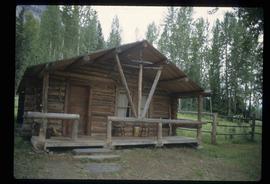
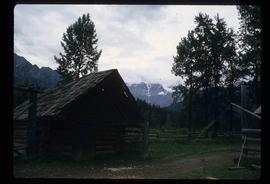
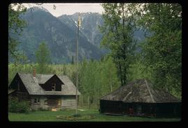
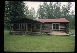
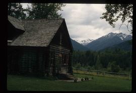
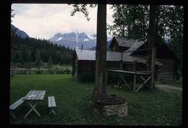
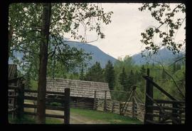
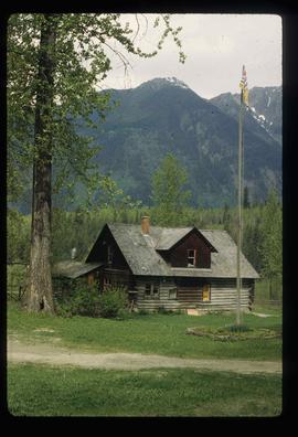
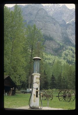
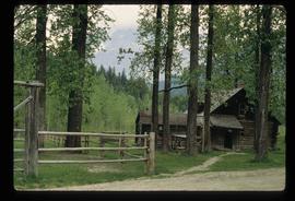
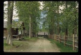
Image depicts the Britannia Mine, which closed in 1974 and is now a museum. "Anaconda" was the last operating owner.
Image depicts a forest and a road, somewhere near Duffey Lake.
Image depicts the head of Lillooet Lake.
Image depicts a road, possibly Joffre Creek Road. The slide is simply labelled "Joffre cr."
Image depicts a road somewhere near Duffey Lake.
Image depicts the start of Joffre Creek Road, most likely somewhere in the Joffre Lakes Provincial Park.
Image depicts a road leading into a First Nations' Reserve at the head of Harrison Lake.
Image depicts the Lillooet River delta at the head of Lillooet Lake.
Image depicts a view of the scenery surrounding Cayoosh Creek.
Image depicts a bridge over Cayoosh Creek.
Image depicts the Lillooet River at the head of Lillooet Lake.
Image depicts a view of Cayoosh Valley.
Image depicts a view of Cayoosh Valley. Cayoosh Creek is visible in the bottom left corner of the image.
Image depicts Cayoosh Valley.
Image depicts a view of the scenery surrounding Cayoosh Creek.
Image depicts Cayoosh Creek from a bridge in Cayoosh Valley.
Image depicts a view of the lower Cayoosh Valley.
Image depicts the Lillooet River at the head of Lillooet Lake.
Image depicts a view of the scenery surrounding Cayoosh Creek.
Image depicts Cayoosh Valley.
Image depicts the Mud River.
Image depicts a rail road bridge over the Mud River.
Image depicts the Mud River.
Image depicts the Mount Robson Ranch.
Image depicts an old gas pump at the Mount Robson Ranch.
Image depicts the old trading post at Mount Robson Ranch.
Image depicts the Mount Robson Ranch.
Image depicts Mount Robson while en route to Mount Robson Ranch in B.C.
Image depicts the Mount Robson Ranch.
Image depicts Cottonwood Island.
Image depicts a small stream somewhere on Cottonwood Island.
Image depicts two youths fishing from the bank of the Nechako River on Cottonwood Island.
Image depicts what is possibly a small section of the Nechako River on Cottonwood Island.
Image depicts a nature trail on Cottonwood Island.