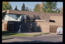
Image depicts the Fort George Regional Museum in Prince George, B.C. Map coordinates 53°54'18.6"N 122°44'09.8"W
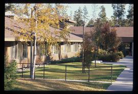
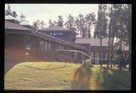
Image depicts Parkside Intermediate Care Home on Ospika Boulevard in Prince George. Map coordinates 53°55'02.6"N 122°47'41.6"W
Image depicts Parkside Intermediate Care Home on Ospika Boulevard in Prince George. Map coordinates 53°55'02.6"N 122°47'41.6"W
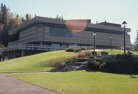
Image depicts the Prince George Public Library (Bob Harkins Branch). Map coordinates 53°54'44.6"N 122°45'01.7"W
Image depicts the cutbanks on the other side of the Nechako, taken from the nature trail at Island Cache. Map coordinates 53°55'34.6"N 122°45'52.4"W
Image depicts the cutbanks on the other side of the Nechako, taken from the nature trail at Island Cache. Map coordinates 53°55'34.6"N 122°45'52.4"W
Image depicts the cutbanks on the other side of the Nechako, taken from the nature trail at Island Cache. Map coordinates 53°55'34.6"N 122°45'52.4"W
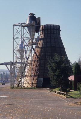
Image depicts a Beehive Burner along the Nechako on River Road. Map coordinates 53°55'34.1"N 122°44'58.0"W.
Image depicts a Beehive Burner along the Nechako on River Road. Map coordinates 53°55'34.1"N 122°44'58.0"W
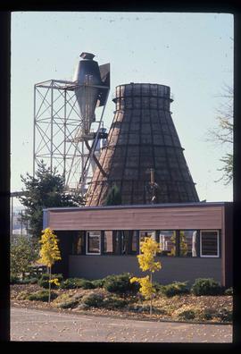
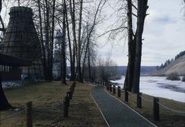
Image depicts a nature trail in Cottonwood Island Park by a beehive burner. Map coordinates 53°55'23.6"N 122°43'53.8"W
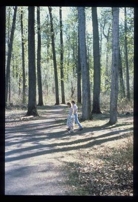
Image depicts a couple walking through a nature trail in Cottonwood Island Park. Map coordinates 53°55'23.6"N 122°43'53.8"W
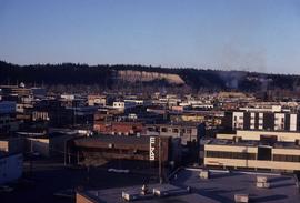
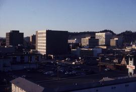
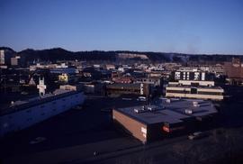
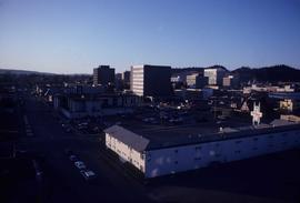
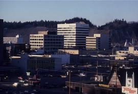
Image depicts downtown Prince George taken from City Hall looking north. Map coordinates 53°54'46.2"N 122°44'43.9"W
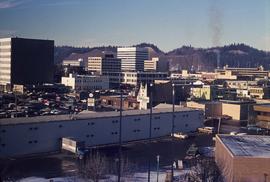
Image depicts downtown Prince George taken from City Hall looking northwest. Map coordinates 53°54'46.2"N 122°44'43.9"W
Image depicts downtown Prince George taken from City Hall looking north. Map coordinates 53°54'46.2"N 122°44'43.9"W
Image depicts downtown Prince George taken from City Hall looking northwest. Map coordinates 53°54'46.2"N 122°44'43.9"W
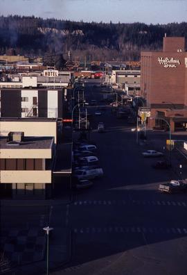
Image depicts a view of Prince George from City Hall looking northeast along George Street. Map coordinates 53°54'46.3"N 122°44'41.9"W
Image depicts downtown Prince George looking northwest. Map coordinates 53°54'48.7"N 122°44'45.6"W
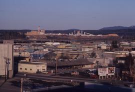
Image depicts a view of Prince George from City Hall looking northeast with the pulp mills in the background. Map coordinates 53°54'46.3"N 122°44'41.9"W
Image depicts downtown Prince George looking northwest across Dominion Street. Map coordinates 53°54'48.7"N 122°44'45.6"W
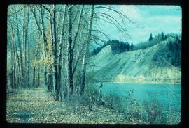
Image depicts a nature trail along the Nechako River at Island Cache looking west with the cutbanks in the background. Map coordinates 53°55'36.2"N 122°45'11.8"W
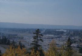
Image depicts Parkwood Place taken from Connaught Hill looking west with the hospital in the background. Map coordinates 53°54'39.9"N 122°45'02.5"W
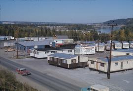
Image depicts mobile homes for sale on Cowart Road looking northeast with Simon Fraser Bridge in background. Map coordinates 53°52'39.3"N 122°46'13.1"W
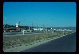
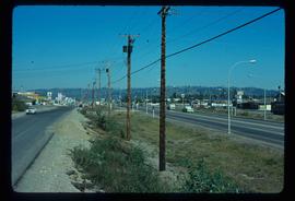
Image depicts Highway 97 at 15th Ave. looking north. Map coordinates 53°54'42.1"N 122°46'53.1"W
Image depicts Highway 97 at 15th Ave. looking north. Map coordinates 53°54'36.0"N 122°46'55.5"W
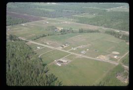
Image depicts a clearing in Prince George, B.C., possibly in the Pineview area.
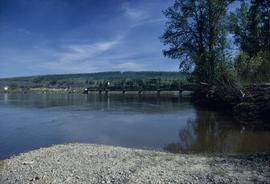
Image depicts the Fraser River and the Grand Trunk Pacific Bridge from Cottonwood Island Park.
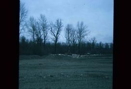
Image depicts a bulldozer and truck in an unknown location.
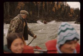
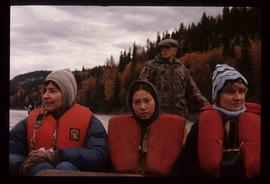
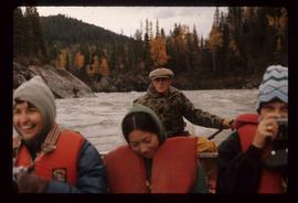
Image depicts a group of people in boats, with Ray Mueller steering one of them, on the Fraser River in the Grand Canyon, B.C.
Image depicts three unknown individuals in a boat on the Fraser River; the man steering the boat is Ray Mueller.
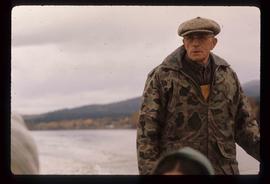
Image depicts Ray Mueller steering a boat on the Fraser River in the Grand Canyon, B.C.
Image depicts Ray Mueller steering a boat on the Fraser River in the Grand Canyon, B.C.
Image depicts a view of the Millar Addition suburb from Connaught Hill in Prince George, B.C.
Image depicts a view of the Millar Addition suburb in Prince George, B.C.
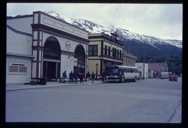
Image depicts the bus depot in Skagway, Alaska (USA).
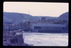
Image depicts the Peace Canyon Dam and generating station under construction on the Peace River.
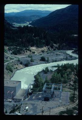
Image depicts the Lajoie hydroelectric generating station at the Lajoie Dam on the Bridge River (view of powerhouse and tailrace from top of dam).
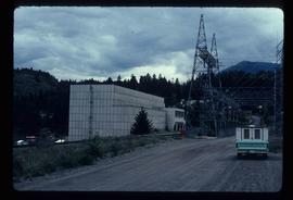
Image depicts the Bridge River No. 1 hydroelectric station on the shore of Seton Lake (rear side of powerhouse).
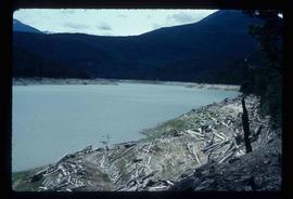
Image depicts Downton Lake, the Lajoie Dam reservoir.
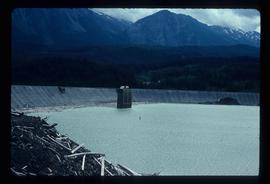
Image depicts the Lajoie Dam on the Bridge River from the upstream side.
Image depicts the Lajoie Dam on the Bridge River, upstream side, showing part of Downton Lake and, in the foreground, the spillway intake.
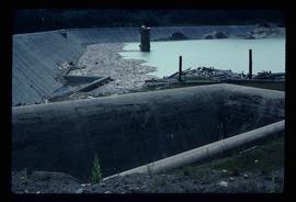
Image depicts the Terzaghi Dam viewed from the downstream side near Bralorne B.C.
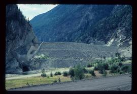
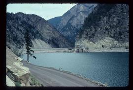
Image depicts the Terzaghi Dam on the Bridge River, looking from the upstream (reservoir) side located near Bralorne, B.C. The water is Carpenter Lake.
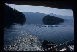
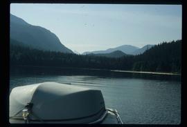
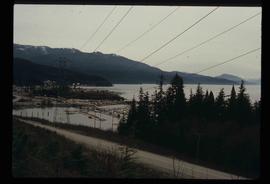
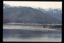
Image depicts what is possibly either the Hecate Strait or Minette Bay from somewhere near Kitimat, B.C.
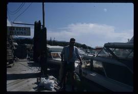
Image depicts a man holding two fish on a dock in Kitimat, B.C.
Image depicts what is possibly either the Hecate Strait or the Minette Bay from somewhere near Kitimat, B.C.
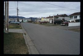
Image depicts a row of houses somewhere in Kitimat, B.C.
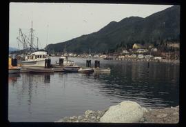
Image depicts a harbour in Kitimat, B.C.
Image depicts what is possibly the Alcan smelter in Kitimat, B.C.
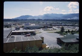
Image depicts numerous businesses, such as the Bay, Overwaitea, and Dairy Queen, somewhere in Kitimat, B.C.
Image depicts numerous docked boats, as well as many houses on the shore in the background; located in Kitimat, B.C.
