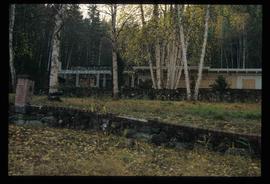
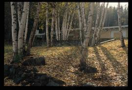
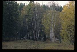
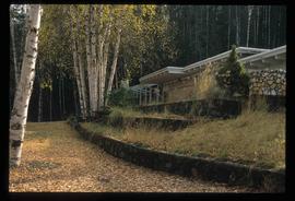
Image depicts a crowd of people in Cottonwood Park in Prince George, B.C.
Image depicts a man and woman shaking hands in a building at an uncertain location, possibly in Cottonwood Park. The man standing behind the two is possibly Elmer Mercier, a former mayor of Prince George, B.C.
Image depicts a woman holding a sheet of paper in a room with numerous other unidentified individuals. The man standing behind her is possibly Elmer Mercier, a former Mayor of Prince George, B.C.
Image depicts a man holding up a board which appears to have maps of the Cottonwood Park on it.
Image depicts Elmer Mercier, a former mayor of Prince George, B.C., cutting the ribbon to open Cottonwood Park's Heritage Trail.
File contains slides depicting places in, around, and near Prince George, B.C.
File contains slides depicting Prince George.
File contains slides depicting places along the Hart Highway.
File contains slides depicting images of Prince George ranging from 1975 to 2003.
File contains slides depicting images of the Grand Trunk Pacific railway roundhouse in Prince George, B.C.
File contains slides depicting images of the Ginter House from 1997 in Prince George, B.C.
File contains slides depicting Island Cache on Cottonwood Island in Prince George, B.C.
File contains slides depicting Cottonwood Island in Prince George, B.C.
File contains slides depicting schools in Prince George, B.C.
File contains slides depicting the grade for what was formerly the Pacific Great Eastern, and is now known as British Columbia Railway.
File contains slides depicting logging and equipment. Most appear to be locations around Prince George.
File contains slides depicting landforms at various locations.
File contains slides depicting the Summerfest in Prince George, B.C. in 1994.
File contains slides depicting the opening of the Cottonwood Park section of the Heritage River Trails in Prince George, B.C.
File contains slides depicting numerous recreational locations from various places in Canada.
File contains slides depicting recreational activities on Tabor Mountain in Prince George, B.C.
File contains slides depicting maps and site plans for the city of Prince George.
File contains slides depicting aerial views of Prince George.
File contains slides depicting maps of the Prince George town site.
File contains slides depicting CN locations east of Prince George.
File contains slides depicting the growth of Prince George.
Image depicts a swimming pool filled with debris in the interior of the Ginter House in Prince George, B.C.
Image depicts the Ginter House in Prince George, B.C.
Image depicts the Ginter House and the surrounding woods, in Prince George, B.C.
Image depicts the Ginter House in Prince George, B.C.
Image depicts a Prince George residential area from the viewpoint of the Ginter Property.
Image depicts the Ginter Property in Prince George, B.C.
Image depicts what appears to be a part of a fence on the Ginter Property in Prince George, B.C.
Image depicts the interior of the Ginter House in Prince George, B.C.
Image depicts the Ginter House in Prince George, B.C.
Image depicts the interior of the Ginter House in Prince George, B.C.
Image depicts the Ginter House in Prince George, B.C.
Image depicts a road near the Ginter House in Prince George, B.C.
Image depicts the Ginter House in Prince George, B.C.
Image depicts a road near the Ginter House in Prince George, B.C.
Image depicts the Ginter House in Prince George, B.C.
Image depicts a private driveway, most likely leading to the Ginter Property in Prince George, B.C.
Image depicts two mills; the Intercontinental Pulpmill is on the left side of the tracks in the image and the Prince George Pulp and Paper Mill is located on the right side in Prince George, B.C. The Northwood Pulp Mill can be seen in the distance.